Lean-To Campsite #8
Campground
0.4 mi from the trail
Ward Pound Ridge Reservation is a climbing area in New York, set within Ward Pound Ridge County Park on county land. It sits about 0.3 to 0.5 miles from several short hiking routes, which makes it easy to pair with a walk. Late spring and early fall are the most comfortable times to visit. Typical averages from a nearby weather station in Danbury, Connecticut, run to highs around 69°F in May and 74°F in September, with July the warmest month at about 82°F. The closest climbing is at Westchester Wilderness Walk/Zofnass Family Preserve, about 3.9 miles away, and Trudeau Boulders, about 4.3 miles away. Leatherman's Loop and the Red Trail are both within half a mile.
7 routes · V1+ – V3 · Bouldering · Mixed
Where it is: Ward Pound Ridge County Park
Near: Stamford
Best months: April. Best months have typical highs of 55–85 °F, lows of 30 °F or warmer (32 °F where the station doesn't record snow), at most one snowy day and no more than 12 wet days.
Jan
36°
18°
11 wet
Feb
39°
20°
10 wet
Mar
47°
27°
11 wet
Apr
59°
37°
12 wet
May
69°
46°
14 wet
Jun
78°
56°
13 wet
Jul
82°
62°
13 wet
Aug
80°
60°
14 wet
Sep
74°
52°
14 wet
Oct
62°
41°
13 wet
Nov
51°
31°
11 wet
Dec
41°
24°
12 wet
Typical high / low (°F) and days with rain or snow, 1991–2020. Measured at Danbury Muni Ap, CT, 10.6 mi away at 457 ft. This station doesn't record snowfall. Source: NOAA NCEI U.S. Climate Normals 1991–2020.
Been here? Tell people how it was.
 Leatherman's LoopHikingPhoto: Chrisbkes, CC BY 2.0 (via Flickr)0.3 mi
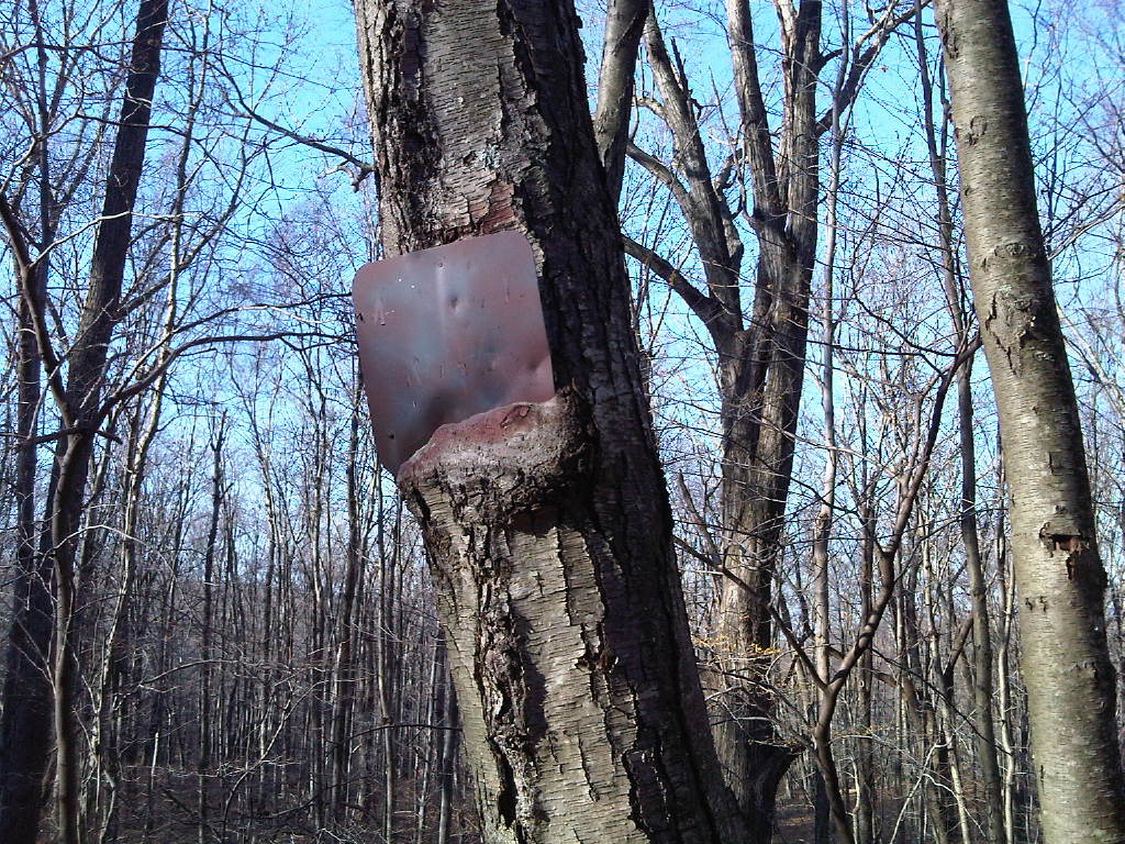 Red TrailHikingPhoto: kschlot1, CC BY 2.0 (via Flickr)0.4 miGreen TrailHikingPhoto: Chrisbkes, CC BY 2.0 (via Flickr)0.5 miSuper Sketchy Blue Moon TrailHikingPhoto: kschlot1, CC BY 2.0 (via Flickr)0.5 mi
Daily highs and lows, wind and the chance of precipitation at Ward Pound Ridge Reservation for the next 7 days, from the Open-Meteo model.
Questions about Ward Pound Ridge Reservation: conditions, access, timing. Answers say when something isn't known.
Lean-To Campsite #8
Campground
 If it rainsⱮ, CC BY-SA 4.0 · Wikimedia Commons
Places © OpenStreetMap contributors, Places © Overture Maps Foundation · Photos: Ɱ, CC BY-SA 4.0 (commons)
More in Mount Kisco