
Silver City RV Park
Hiking business nearby (~34 mi away) — hasn't claimed their Roamze page yet
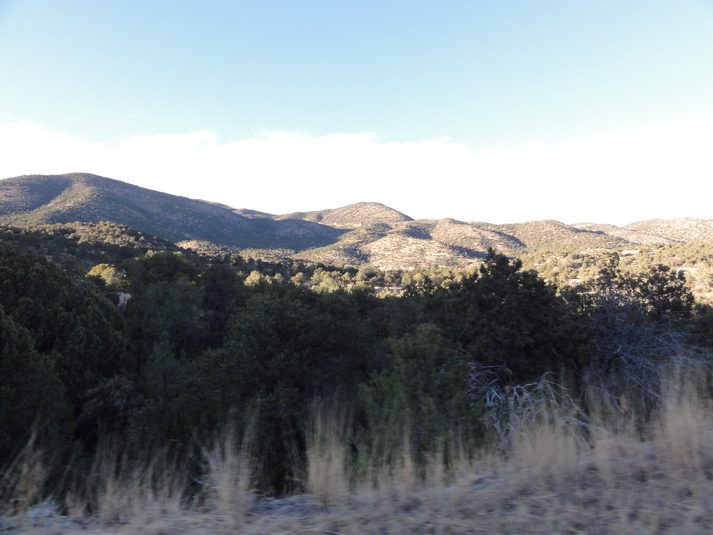
New Mexico
Free — you'll pick up right here.
1.2 mi
Distance
662 ft
Gain
We won't guess. Here is exactly what we do and don't know.
What we do know
Inside Gila National Forest
2 managing-area boundaries mapped — agency alerts for them feed this page automatically.
Boundary data
What's missing
No access route mapped
We don't yet know which road reaches this trailhead, so we can't tell you if it's gated.
Nobody's filed a report here yet — be the first.
Why you'll love it
Iron
Suggested plan · check conditions before you go
The Iron Trail is a short out-and-back hike in the Iron area of New Mexico, offering a quick outdoor excursion for hikers of all abilities. This brief trail provides an accessible way to explore the local landscape and is ideal for those seeking a short walk without significant elevation gain.
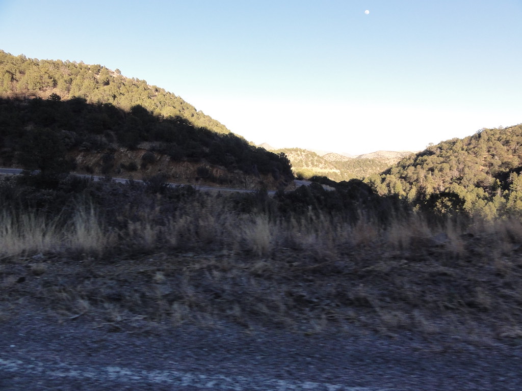 Photo: ossguy, CC BY-SA 2.0 (via Flickr)
SCENIC TRAIL
~2 min drive
2.78-mile out-and-back trail in New Mexico with 1,337 ft elevation gain and loss.
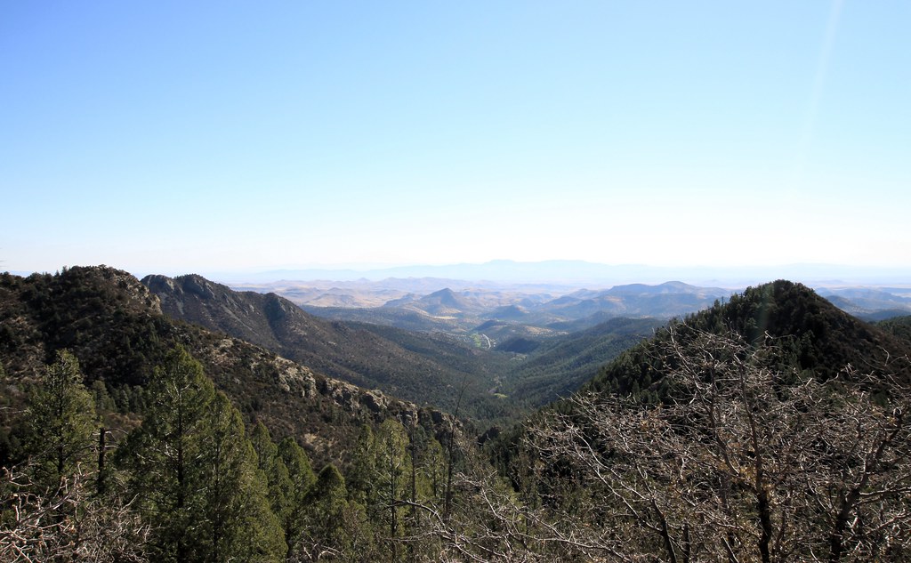 Photo: uıɐɾ ʞ ʇɐɯɐs, CC BY-SA 2.0 (via Flickr)
Cdt Jov
~5 min drive
0.26-mile out-and-back trail in New Mexico with 158 ft of elevation gain.
Photo: uıɐɾ ʞ ʇɐɯɐs, CC BY-SA 2.0 (via Flickr)Scenic Trail
~5 min drive
8.32-mile out-and-back trail in New Mexico with 3,231 ft gain/loss.
Lower Gallinas
~15 min drive
1.06-mile out-and-back trail in New Mexico with 272 ft of elevation gain.
Holden Prong Trail #114
~11 min drive
9.42-mile out-and-back trail in New Mexico with 419 ft gain.
 Photo: Patrick Alexander from Las Cruces, NM, CC0 (via Wikimedia Commons)
Silver Creek Road
~7 min drive
4.16-mile out-and-back trail in New Mexico with 105 ft elevation gain.
 Photo: uıɐɾ ʞ ʇɐɯɐs, CC BY-SA 2.0 (via Flickr)
Hillsboro Peak Bypass Trail #412
~7 min drive
1.07-mile out-and-back trail in New Mexico with 917 ft gain.
 Photo: Patrick Alexander from Las Cruces, NM, CC0 (via Wikimedia Commons)
Black Range Crest Trail #79
~10 min drive
6.47-mile out-and-back hike in New Mexico with 2,759 ft of elevation gain.
Animas Divide Trail (117)
~13 min drive
10.32-mile out-and-back trail in New Mexico with 4,732 ft elevation gain.
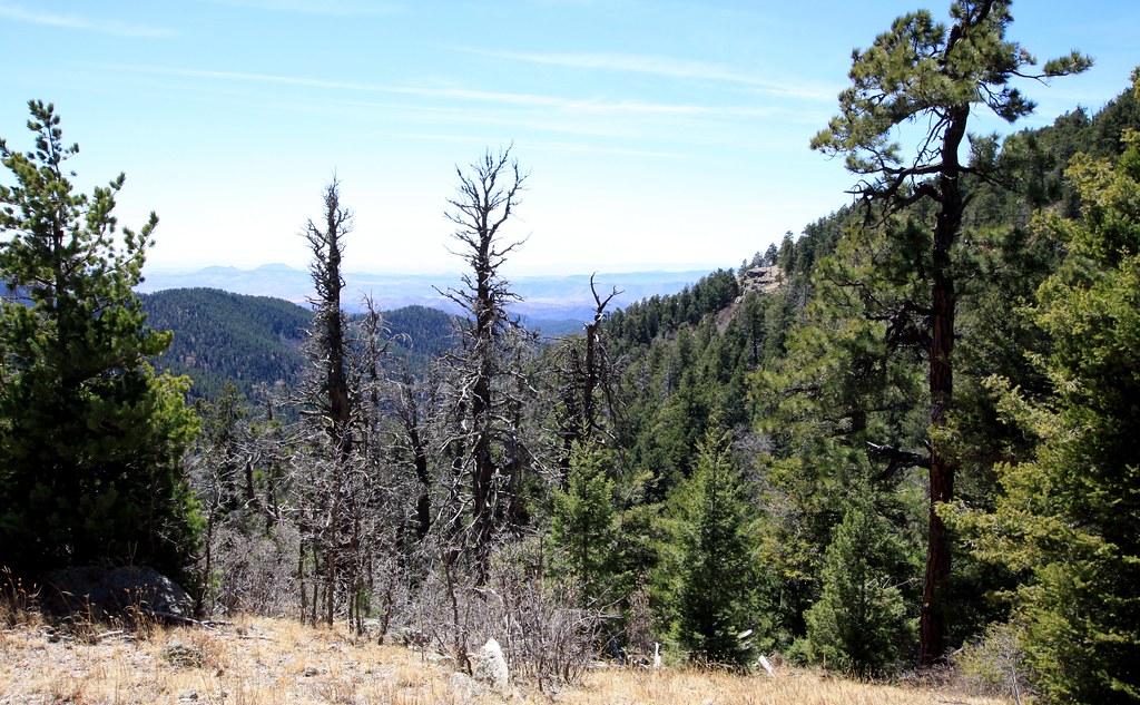 Photo: uıɐɾ ʞ ʇɐɯɐs, CC BY-SA 2.0 (via Flickr)
Old Mineral Creek
~7 min drive
2.56-mile out-and-back trail along Old Mineral Creek in New Mexico.
Local operatorsoffering guided trips. You book directly with them — Roamze doesn’t take a cut.
Silver City RV Park
Hiking business nearby (~34 mi away) — hasn't claimed their Roamze page yet
Burro Mountain Homestead RV Park
Hiking business nearby (~47 mi away) — hasn't claimed their Roamze page yet
