
Yellowstone Safari Company
Hiking business nearby (~44 mi away) — hasn't claimed their Roamze page yet

Montana
Free — you'll pick up right here.
7.5 mi
Distance
958 ft
Gain
2h 58m
Time
We won't guess. Here is exactly what we do and don't know.
What we do know
Inside Custer Gallatin National Forest
2 managing-area boundaries mapped — agency alerts for them feed this page automatically.
Boundary data
What's missing
No access route mapped
We don't yet know which road reaches this trailhead, so we can't tell you if it's gated.
Nobody's filed a report here yet — be the first.
Why you'll love it
Meadow Creek
Suggested plan · check conditions before you go
Source for bikes, horses, surface: USDA Forest Service National Forest System Trails (EDW)
Meadow Creek is a 7.48-mile out-and-back trail in Montana managed by the Forest Service. The trail gains 958 feet of elevation.
Source: Roamze elevation profile and trail geometry (DEM samples along the mapped route)
Active alerts for Hebgen Lake Ranger District as of Oct 9, 2026:
Lonesomewood Prescribed Fire Area, Road, and Trail Closure
critical · posted Sep 16, 2026
Hebgen District (Boundary Trail) Shooting Closure Order
critical · posted Aug 24, 2026
Rendezvous Bicycle Closure Order
critical · posted Aug 24, 2026
South Plateau Road #1700 Opening Delayed
critical · posted Aug 24, 2026
Source: USFS forest alerts
Source: Roamze catalog (indexable pages within 10 miles, PostGIS distance)
 Photo: Forest Service - Northern Region, Public Domain Mark (via Flickr)
Tumbledown
~10 min drive
6.09-mile out-and-back trail in Montana with 1,651 ft elevation gain.
Photo: Forest Service - Northern Region, Public Domain Mark (via Flickr)Tumble Basin
~12 min drive
1.16-mile out-and-back trail in Montana with 157 ft elevation gain.
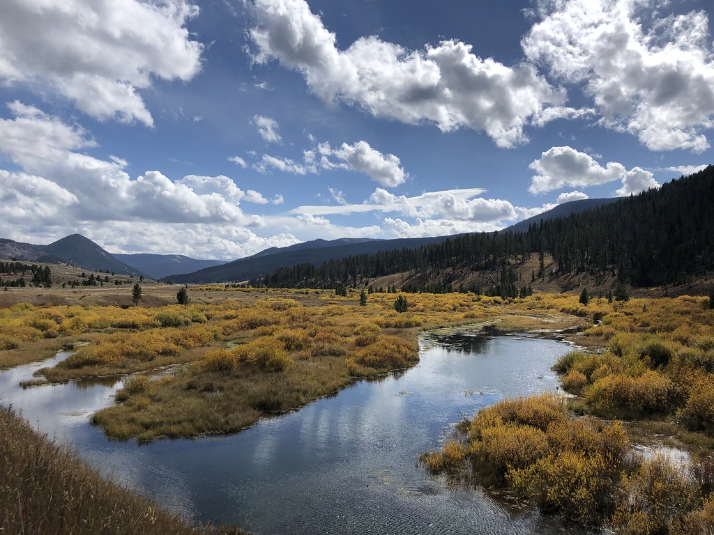 Photo: Forest Service - Northern Region, Public Domain Mark (via Flickr)
Teepee Creek
~12 min drive
9.05-mile out-and-back trail in Montana with 1,114 ft elevation gain.
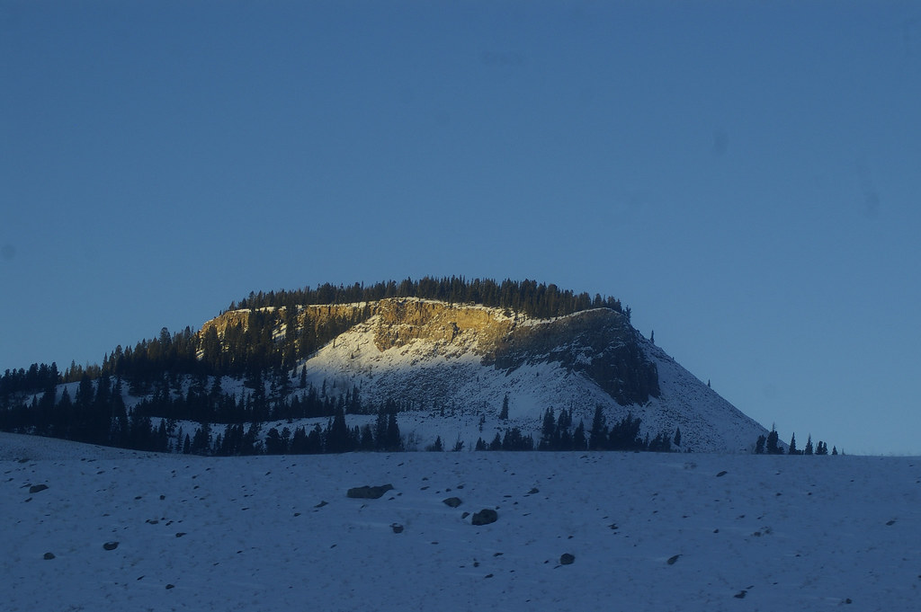 Photo: hesyifei, CC BY-SA 2.0 (via Flickr)
Dailey Creek Trailhead (WK1)
~14 min drive
This trailhead along Highway 191 in the western part of the park provides access to one trail: Dailey Creek Trail Dailey Creek Trail A strenuous 10-mile (16-km) there-and-back trail that starts near Dailey Creek and heads up to Dailey Pass, where you can reach the Sky Rim T…
 Photo: Forest Service - Northern Region, Public Domain Mark (via Flickr)
Elk Horn
~11 min drive
9.64-mile out-and-back trail in Montana with 1,272 ft gain.
DEADHORSE CREEK
~3 min drive
2.8-mile out-and-back trail in Montana with 893 ft elevation gain and loss.
Albino Lake
~3 min drive
7.42-mile out-and-back trail to Albino Lake in Montana with 750 ft gain.
Eldridge
~6 min drive
Eldridge is a 17.14-mile out-and-back trail in Montana with 1872 feet of elevation gain.
Cinnamon Lookout
~5 min drive
2.32-mile out-and-back trail with 1,022 ft gain in Montana.
Dead Horse Trail
~4 min drive
9.4-mile out-and-back trail in Montana with 2,448 ft elevation gain/loss
Local operatorsoffering guided trips. You book directly with them — Roamze doesn’t take a cut.
Yellowstone Safari Company
Hiking business nearby (~44 mi away) — hasn't claimed their Roamze page yet
