Tusayan Mtn Bike Loop
At a glance
Tusayan Mtn Bike Loop is a 16.6-mile out-and-back route in Arizona's Kaibab National Forest, within the Tusayan Ranger District and managed by the Forest Service. The trail rises from about 6,600 feet to about 6,850 feet, with a total elevation gain of 287 feet, and it is rated hard. It is a natural-surface route, and the Forest Service allows bikes. The most comfortable months for a visit are May and September. Typical averages from a nearby weather station run from highs around 71°F in May to about 77°F in September, with fewer wet days than in the summer. That station sits at a similar elevation to the route's low point, so temperatures at the high end of the climb run a little cooler. The Arizona Trail passes about a tenth of a mile away, and the Tusayan Mtn Bike route lies within half a mile. Tusayan Ranger District river fishing is about 0.6 miles off, and Tusayan - Montane campground is about 3 miles away.
- round trip
- 16.6 mi
- climb
- 287 ft
- high point
- 6,847 ft
- route
- Out and back
- time
- About 5.5 hours
- best months
- May–Sep
Where it is: Tusayan Ranger District · Kaibab National Forest
Near: Tusayan
Best time to visit Tusayan Mtn Bike Loop
Best months: May–September. Best months have typical highs of 55–85 °F, lows of 30 °F or warmer (32 °F where the station doesn't record snow), at most one snowy day and no more than 12 wet days.
Jan
44°
16°
6 wet
Feb
47°
17°
6 wet
Mar
55°
22°
6 wet
Apr
61°
25°
5 wet
May
71°
32°
4 wet
Jun
83°
38°
3 wet
Jul
85°
49°
10 wet
Aug
83°
49°
11 wet
Sep
77°
40°
7 wet
Oct
66°
30°
4 wet
Nov
54°
21°
4 wet
Dec
44°
14°
6 wet
Typical high / low (°F) and days with rain or snow, 1991–2020. Measured at Grand Canyon Np Ap, AZ, 3.1 mi away at 6,606 ft. This station doesn't record snowfall. Source: NOAA NCEI U.S. Climate Normals 1991–2020.
Been here? Tell people how it was.
- Arizona TrailHiking0.1 mi
- Tusayan Mtn BikeHiking0.4 mi
- Tusayan Ranger DistrictRiver fishing0.6 mi
- Tusayan - MontaneCamping3 mi
- Rowe well Road and Bright Angel WashRock climbing4.8 mi
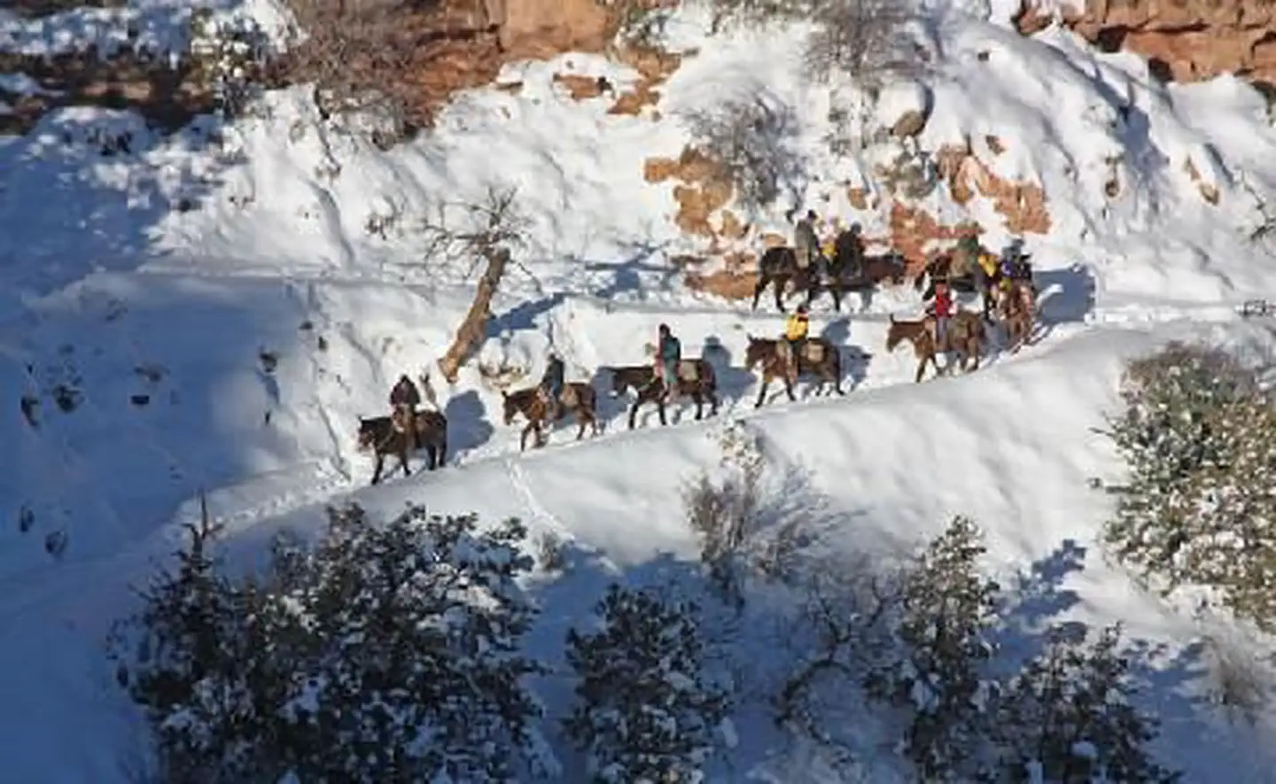 El Tovar HotelLake fishing5.4 mi
 Wailing WallRock climbingPhoto: Hermann Luyken, CC0 (via Wikimedia Commons)5.6 mi
- Hull CabinCamping9.7 mi
 Arizona National Scenic TrailHikingPhoto: Stephen Edmonds, CC BY-SA 3.0 (via Wikimedia Commons)~8 min drive
- Pipe Creek VistaHikingPhoto: Stephen Edmonds, CC BY-SA 3.0 (via Wikimedia Commons)~8 min drive
- ArizonaHikingNext door
- Long Jim TrailHiking~5 min drive
- Rim TrailHiking~9 min drive
- Arizona National Scenic TrailHikingPhoto: Stephen Edmonds, CC BY-SA 3.0 (via Wikimedia Commons)~8 min drive
 Trail of Time: Headquarters Portal (Parking Lot A)HikingPhoto: beglib, CC BY-SA 3.0 (via Wikimedia Commons)~9 min drive
- Arizona TrailHiking~6 min drive
 Trail 6 YlwHikingPhoto: Kaibab National Forest, CC BY-SA 2.0 (via Wikimedia Commons)~9 min drive
- South Kaibab TrailHiking~9 min drive
Conditions and forecast
Daily highs and lows, wind and the chance of precipitation at Start for the next 7 days, from the Open-Meteo model.

Ask about this place
Questions about Tusayan Mtn Bike Loop: conditions, access, timing. Answers say when something isn't known.
Local outfitters
- Buck Wild Hummer Toursunder a mile away
- Wander Camp16 mi away
Not on Roamze yet. Their page has how to reach them.
