Grade Creek
At a glance
Grade Creek is a 14-mile out-and-back hike in Idaho's Payette National Forest, within the Weiser Ranger District. The trail climbs from about 5,293 feet to about 6,573 feet, a total gain of 1,166 feet, and is rated hard. The Forest Service manages the land, and the route is natural-surfaced and open year-round. Summer is the most comfortable time to go. Typical averages from a nearby weather station in McCall show July and August highs around 81°F with lows in the mid-40s and only about five wet days a month. That station sits roughly 1,500 feet lower than the trail's high point, so temperatures on the ridge run cooler. Several other hikes lie within a few miles, including E/F Brownlee Creek, Camp Creek and Upper Camp Creek Trail. Buck Park Cabin, about 4.4 miles away, offers a place to stay.
- round trip
- 14.0 mi
- climb
- 1,166 ft
- high point
- 6,573 ft
- route
- Out and back
- best months
- Late Apr–early Jul, mid-Aug–early Oct
Where it is: Weiser Ranger District · Payette National Forest
Near: Cambridge
Best weeks to go
Late April to early July and mid-August to early October are usually best for hiking here.
Typical highs of 57–80°F and lows of 31°F or warmer in those weeks. Rain falls on about 40% of days at the wettest of them, so plan around showers.
Typical weather: NOAA 1991–2020 normals at Mccall, ID, 37 mi away. Not a forecast.
Typical weather by monthBest time to visit Grade Creek
Best months: May–June and September. Best months are the ones mostly made of the best weeks for hiking: typical temperatures in its comfortable range, few snowy days and not usually wet, judged with the same limits as our good-day forecasts.
Jan
31°
13°
14 wet · 11 snow
Feb
36°
14°
12 wet · 9 snow
Mar
43°
20°
13 wet · 7 snow
Apr
51°
27°
12 wet · 3 snow
May
61°
35°
12 wet · 1 snow
Jun
70°
40°
10 wet
Jul
81°
45°
5 wet
Aug
81°
43°
5 wet
Sep
72°
36°
6 wet
Oct
57°
28°
9 wet · 2 snow
Nov
40°
21°
13 wet · 7 snow
Dec
30°
13°
15 wet · 12 snow
Typical high / low (°F) and days with rain or snow, 1991–2020. Measured at Mccall, ID, 36.5 mi away at 5,025 ft. The station sits about 1,500 ft lower than this place, so expect it a little cooler here. Source: NOAA NCEI U.S. Climate Normals 1991–2020.
Closures we've recorded since August 2026
Over Snow Vehicle Closure (Forestwide)
Payette National Forest · Order dated November 2, 2026; seen Nov 10, 2026, no lift recorded · Forest Service
Been here? Tell people how it was.
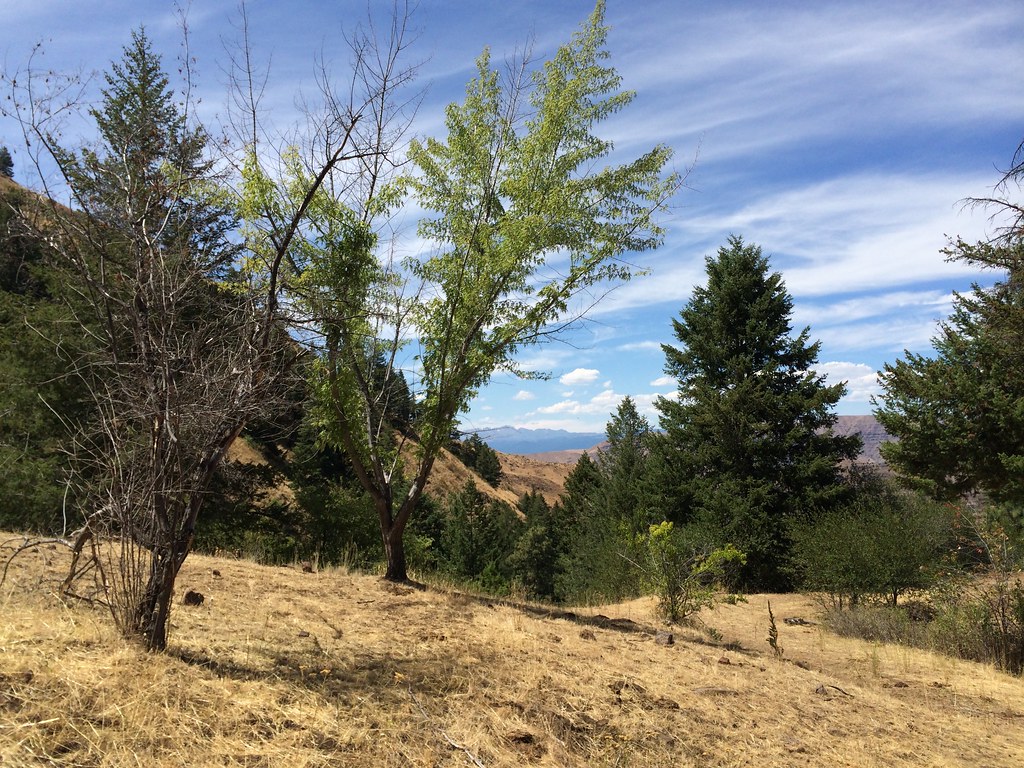 DUKES CREEK-STARVEOUT CREEKHikingPhoto: Sam Beebe, CC BY 2.0 (via Flickr)~7 min drive
- CAMP CREEKHiking~3 min drive
- CRACKER JACK CREEKHiking~6 min drive
- Grouse CreekHiking~7 min drive
- E/F PINE CREEKHiking~8 min drive
- Rush CreekHiking~8 min drive
- JUNE CREEKHiking~10 min drive
- MILL CREEKHiking~15 min drive
- Grouse CreekHiking~12 min drive
- Cow CreekHiking~13 min drive
Conditions and forecast
Caution todayAgency alerts are in effect for this areaUSFS · checked 9 h agoDaily highs and lows, wind and the chance of precipitation at Start for the next 7 days, from the Open-Meteo model.
Ask about this place
Questions about Grade Creek: conditions, access, timing. Answers say when something isn't known.
Local outfitters
- Cornucopia Lodge & Packstation16 mi away
- Black Bear RV Park37 mi away
Not on Roamze yet. Their page has how to reach them.
