Rush Creek
- 17.3 mi
- round trip
- 2,729 ft
- climb
- 7,281 ft
- high point
- Out and back
- route
Is Rush Creek open right now?
Alert in the area
The Forest Service lists 5 alerts for Payette National Forest.
Over Snow Vehicle Closure
Agency alert covering Payette National Forest · Order 0412-638 · USFS · Payette National Forest
Brundage Mountain Resort Snowcat Route Closure
Agency alert covering Payette National Forest · Order 0412-637 · USFS · Payette National Forest
Lost Valley Log Hauling
Agency alert covering Payette National Forest · USFS · Payette National Forest
Granite Mountain Over Snow Vehicle Closure
Agency alert covering Payette National Forest · Order 0412-635 · USFS · Payette National Forest
Gordon Titus Upper Elevation Parking Lot Winter Restrictions
Agency alert covering Payette National Forest · Order 0412-543 · USFS · Payette National Forest
As of · Source: USFS · Payette National Forest. Agencies don't list every closure — check before you go.
Rush Creek is a hard hike in Idaho's Payette National Forest, within the Weiser Ranger District. The trail is an out-and-back that climbs from about 4,084 feet to 7,281 feet, a total gain of 2,729 feet over a route of about 17.3 miles. The Forest Service manages the land, and the trail is open year-round. The trail is natural-surfaced and allows both horses and bikes. The climb is long and steep, so plan for a full day on foot or on horseback. The route starts close to two other destinations: Buck Park Cabin, a campground about 0.1 mile away, and the E/F Pine Creek hike, also about 0.1 mile away. Nearby, Dukes Creek and Dukes Creek Rim are both within about 3 miles, and Cracker Jack Creek is about 3.1 miles away.
Local outfitters
- Cornucopia Lodge & Packstation19 mi away
- Black Bear RV Park33 mi away
Not on Roamze yet. Their page has how to reach them.
Keep exploring — more trails worth the drive
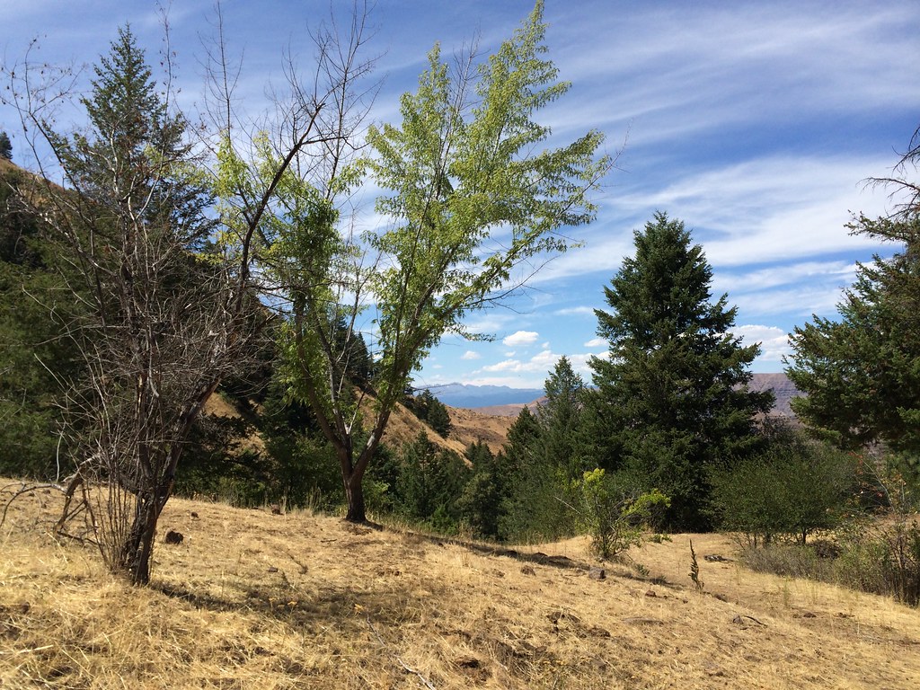 Photo: Sam Beebe, CC BY 2.0 (via Flickr)
DUKES CREEK-STARVEOUT CREEK
~8 min drive
10.54-mile out-and-back trail in Idaho with 5,047 ft elevation gain/loss
HIKE
DUKES CREEK
~4 min drive
3.84-mile out-and-back trail in Idaho with 2,399 ft elevation gain.
HIKE
E/F BROWNLEE CREEK
~7 min drive
6.06-mile out-and-back trail in Idaho with 3,519 ft elevation gain.
HIKE
Upper Camp Creek Trail
~8 min drive
1.60-mile out-and-back trail in Idaho with 240 ft elevation gain.
HIKE
DUKES CREEK RIM
~5 min drive
4.86-mile out-and-back trail in Idaho with 2,391 ft elevation gain
HIKE
Grade Creek
~8 min drive
Grade Creek is a 14.00-mile out-and-back trail in Idaho with 1,166 feet of elevation gain.
HIKE
Grouse Creek
~11 min drive
A moderate 2.18-mile out-and-back trail in Idaho featuring mixed terrain within the Lost River Range trail system.
HIKE
CRACKER JACK CREEK
~5 min drive
6.62-mile out-and-back trail in Idaho with 1,737 ft elevation gain and loss.
HIKE
WEISER/COUNCIL BOUNDARY TRAIL
~8 min drive
9.3-mile out-and-back trail in Idaho with 3,496 ft elevation gain and loss
HIKE
MILL CREEK
~20 min drive
2.86-mile out-and-back trail in Idaho with 905 ft gain and 5,070 ft max elevation.
