Silver Creek
At a glance
Silver Creek is a 9.5-mile loop hike in the Yampa Ranger District of the Medicine Bow-Routt National Forest in Colorado, managed by the Forest Service. The trail rises from a low point of 7,954 feet to a high of 9,580 feet, with a total elevation gain of 1,594 feet. It is a hard route, and the trail surface is natural, so plan on a day of steady climbing on a trail that is not accessible. Summer is the most comfortable time to go. Typical averages from a nearby weather station in Spicer, CO, run to highs around 77°F in July and 76°F in August, with lows in the low 40s. That station sits about 1,200 feet below the trail's high point, so temperatures on the summit run cooler. The Lower Silver Creek Trailhead is the parking for this trip, and the hike is open year-round. Plan on about four hours for the loop. Morrison Creek, a canoeing spot, is about a mile away, and Sarvis Creek is roughly 5 miles off. Pinnacle Campground and The Dome, a climbing area, are both within about 7 miles.
- loop
- 9.5 mi
- climb
- 1,594 ft
- high point
- 9,580 ft
- route
- Loop
- best months
- Mid-May–late Sep
Where it is: Yampa Ranger District · Medicine Bow-Routt National Forest
Near: Steamboat Springs
Best weeks to go
Mid-May to late September is usually best for hiking here.
Typical highs of 60–77°F and lows of 30°F or warmer in those weeks. Rain falls on about 35% of days at the wettest of them, so plan around showers.
Typical weather: NOAA 1991–2020 normals at Spicer, CO, 24 mi away. Not a forecast.
Typical weather by monthBest time to visit Silver Creek
Best months: May–September. Best months are the ones mostly made of the best weeks for hiking: typical temperatures in its comfortable range, few snowy days and not usually wet, judged with the same limits as our good-day forecasts.
Jan
28°
7°
8 wet
Feb
31°
9°
8 wet
Mar
40°
15°
8 wet
Apr
49°
23°
9 wet
May
59°
30°
10 wet
Jun
71°
36°
8 wet
Jul
77°
42°
9 wet
Aug
76°
40°
11 wet
Sep
68°
34°
8 wet
Oct
55°
25°
7 wet
Nov
39°
16°
8 wet
Dec
29°
9°
8 wet
Typical high / low (°F) and days with rain or snow, 1991–2020. Measured at Spicer, CO, 23.8 mi away at 8,385 ft. The station sits about 1,200 ft lower than this place, so expect it a little cooler here. This station doesn't record snowfall. Source: NOAA NCEI U.S. Climate Normals 1991–2020.
Been here? Tell people how it was.
 Pinnacle Loop TrailHikingPhoto: Peter Alfred Hess, CC BY 2.0 (via Flickr)~12 min drive
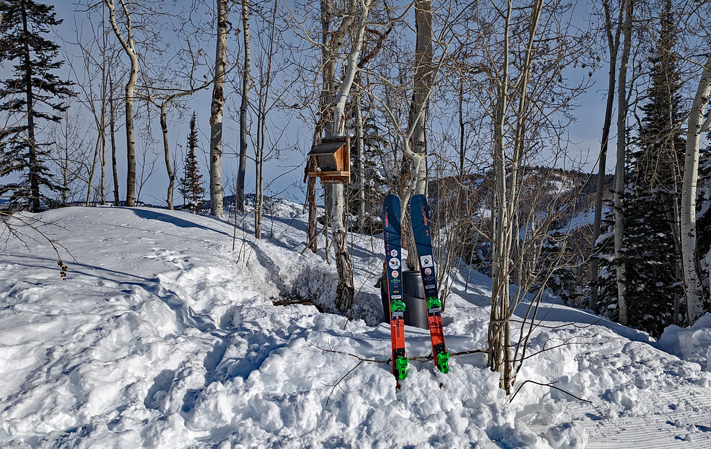 ThunderheadHikingPhoto: oc14me, CC BY 2.0 (via Flickr)~29 min drive
 Mountain ViewHikingPhoto: Greg Younger from Parker, Colorado, USA, USA, CC BY-SA 2.0 (via Wikimedia Commons)~28 min drive
- Overlook TrailHikingPhoto: Peter Alfred Hess, CC BY 2.0 (via Flickr)~13 min drive
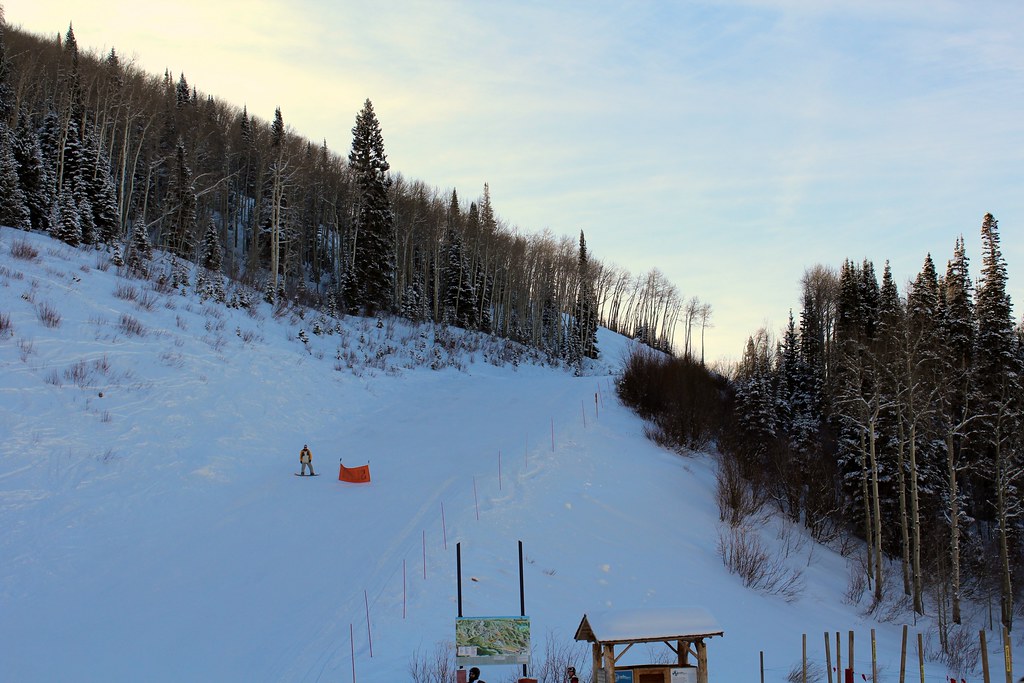 SunshineHikingPhoto: blt04, CC BY 2.0 (via Flickr)~26 min drive
- Tepee CreekHiking~14 min drive
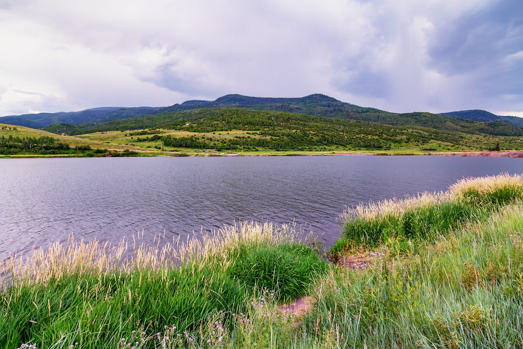 Elk Run TrailHikingPhoto: Tony Webster, CC BY 2.0 (via Flickr)~13 min drive
- Pete's Wicked TrailHikingPhoto: blt04, CC BY 2.0 (via Flickr)~26 min drive
- Muddy Slide TrailHiking~9 min drive
 Lakeside TrailHikingPhoto: Tony Webster, CC BY 2.0 (via Flickr)~13 min drive
Conditions and forecast
Daily highs and lows, wind and the chance of precipitation at Start for the next 7 days, from the Open-Meteo model.

Ask about this place
Questions about Silver Creek: conditions, access, timing. Answers say when something isn't known.
Local outfitters
- Rancho Del Rio23 mi away
- Flat Tops Wilderness Guides36 mi away
Not on Roamze yet. Their page has how to reach them.
