

Stone Cellar Cabin
Campground
8.9 mi from the trail
Middle Fork is a hard hike in Colorado's La Garita Wilderness, part of the Saguache Ranger District of the Rio Grande National Forest. The trail is an out-and-back route of about 17 miles, with a total elevation gain of about 2,084 feet, starting at a low point of roughly 9,992 feet and reaching a high of about 12,461 feet. The Forest Service manages the land, and the trail is open year-round. The trail is natural-surface and allows horses, but bikes are not permitted. The Middle Fork parking area is the trailhead. The route is long and steep, so plan on a full day. Benito Creek lies just 0.3 miles away, and the Middle Fork Cutoff is about 0.9 miles off. Twin Peaks is about 2.5 miles away, and Stone Cellar Campground is about 9 miles away for an overnight stay.
Where it is: La Garita Wilderness · Saguache Ranger District
Near: City of Creede
Been here? Tell people how it was.
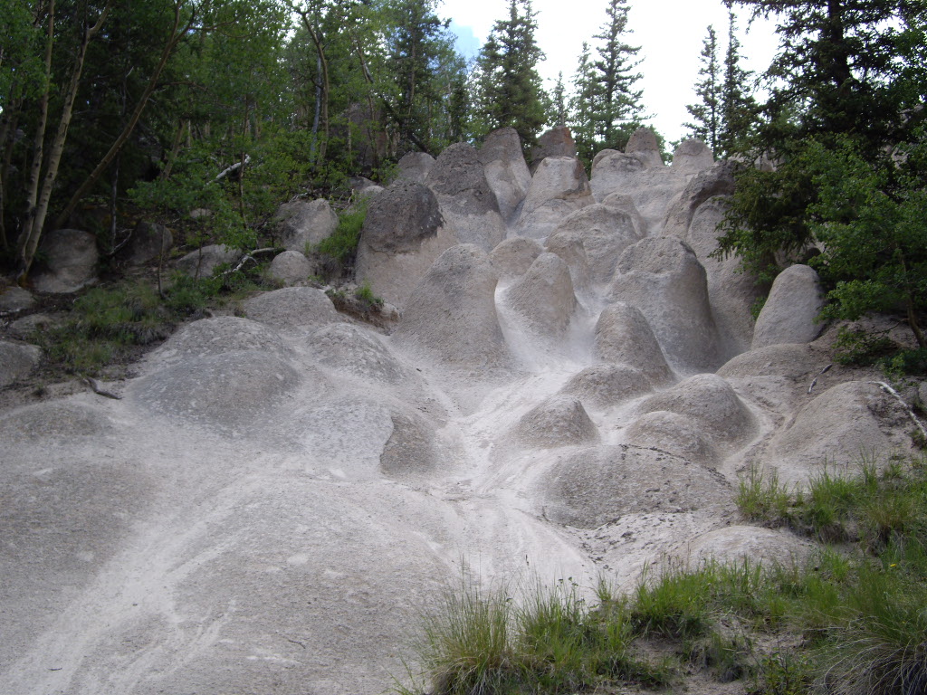 Wheeler LoopHikingPhoto: C. K. Hartman, CC BY 2.0 (via Flickr)~7 min drive
 Farmers CreekHikingPhoto: aspidoscelis, Public Domain Dedication (CC0) (via Flickr)~15 min drive
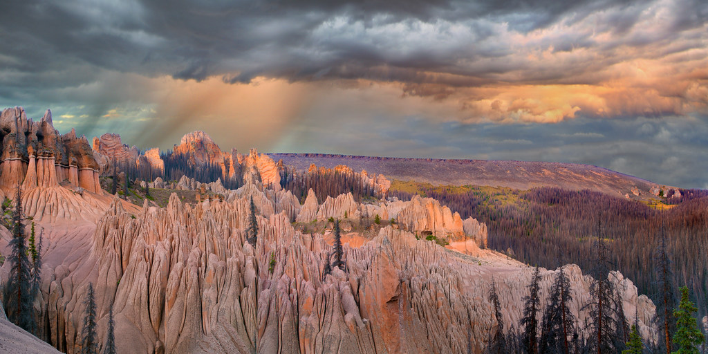 Wason Park Cut-OffHikingPhoto: snowpeak, CC BY 2.0 (via Flickr)~8 min driveDry Gulch TrailHikingPhoto: aspidoscelis, Public Domain Dedication (CC0) (via Flickr)~14 min drive
Also worth it near here
Daily highs and lows, wind and the chance of precipitation at Start for the next 7 days, from the Open-Meteo model.
Questions about Middle Fork: conditions, access, timing. Answers say when something isn't known.
Stone Cellar Cabin
Campground
Creede Underground Mining Museum
Museum
Places © OpenStreetMap contributors, Places © Overture Maps Foundation
More in South ForkNot on Roamze yet. Their page has how to reach them.
