Hansen Mill Campground
Campground
Campground · 7.0 mi from the trail
Closure in the area
There's a closure order in Rio Grande National Forest. It doesn't name La Garita Sd., so check the source for the area it covers.
Closures and dangerous conditions on roads, bridges, and trails from flooding
Agency closure covering Rio Grande National Forest · USFS · Rio Grande National Forest
As of · Source: USFS · Rio Grande National Forest. Agencies don't list every closure — check before you go.
La Garita Sd. is a hard hike in Colorado's La Garita Wilderness, part of the Divide Ranger District of the Rio Grande National Forest. The trail is an out-and-back route of about 12.9 miles, with a total elevation gain of 2,173 feet, starting at a low point of about 10,288 feet and reaching a high of about 12,133 feet. The Forest Service manages the land, and the trail is open year-round. The route is natural-surfaced and allows horses, but bikes are not permitted. That makes it a viable option for riders on horseback, though the climb is steep enough to demand careful planning. The trail sits in the heart of the wilderness, and several other hikes lie close by. Machin Basin is about 1.3 miles away, and Wheeler Loop is about 1.6 miles away. For an overnight base, Hansen Mill Campground is about 7 miles off, and the South Fork Saguache Creek offers canoeing about 6.8 miles away.
Hansen Mill Campground
Campground
Creede Underground Mining Museum
Museum
Places © OpenStreetMap contributors, Places © Overture Maps Foundation
More in South ForkNot on Roamze yet. Their page has how to reach them.
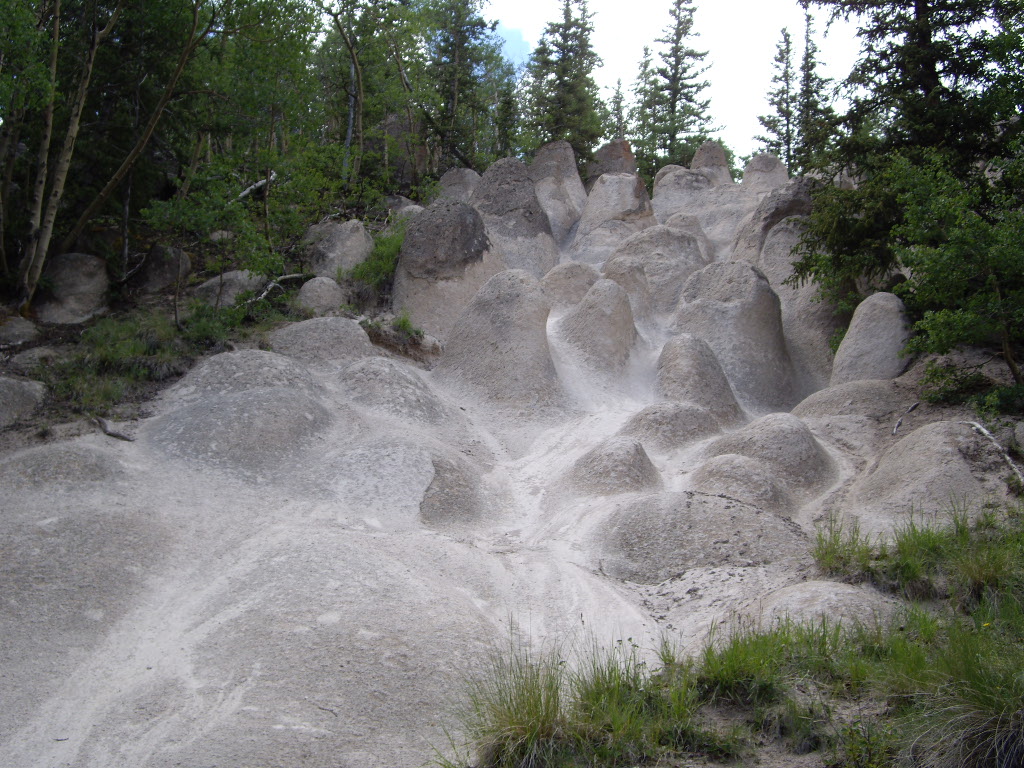 Wheeler LoopHikingPhoto: C. K. Hartman, CC BY 2.0 (via Flickr)1.6 mi
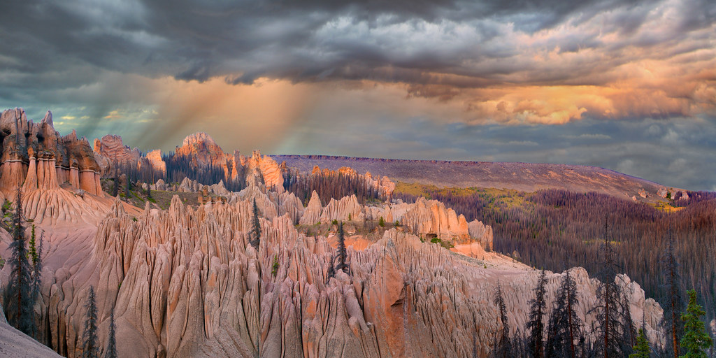 Wason Park Cut-OffHikingPhoto: snowpeak, CC BY 2.0 (via Flickr)2 mi
Source: Roamze catalog (indexable pages within 10 miles, PostGIS distance)
Wheeler LoopHiking · ~3 min drivePhoto: C. K. Hartman, CC BY 2.0 (via Flickr) Farmers CreekHiking · ~10 min drivePhoto: aspidoscelis, Public Domain Dedication (CC0) (via Flickr)Wason Park Cut-OffHiking · ~3 min drivePhoto: snowpeak, CC BY 2.0 (via Flickr)Dry Gulch TrailHiking · ~11 min drivePhoto: aspidoscelis, Public Domain Dedication (CC0) (via Flickr)
Also worth it near here


