
Wildcat Mountaineering
Hiking business nearby (~18 mi away) — hasn't claimed their Roamze page yet
Colorado
Free — you'll pick up right here.
4.5 mi
Distance
801 ft
Gain
Agency alerts are in effect for this area; weather is good
2 factors · 2 sources
Newest 1 h ago · oldest 1 h
caution: Agency alerts
64 active alerts in Arapaho and Roosevelt National Forests; most severe: Fire Restrictions
USFSPosted Sep 21 · checked 1 h ago
clear: Weather
Rain, high 59°F / low 33°F, 23% precip — 89/100 for hike
OpenWeather1 h ago
Been out here in the last few days? One report keeps this current for everyone.
Why you'll love it
Coney Lake
Suggested plan · check conditions before you go
Source for bikes, horses, surface: USDA Forest Service National Forest System Trails (EDW)
Coney Lake is a 4.45-mile out-and-back trail in Colorado managed by Arapaho and Roosevelt National Forests. The route gains 801 feet of elevation and reaches a maximum elevation of 10,653 feet.
Source: Roamze elevation profile and trail geometry (DEM samples along the mapped route)
Source: Wilderness.net boundaries; USFS EDW boundaries; USGS PAD-US 4.1
Active alerts for Boulder Ranger District as of Oct 9, 2026:
Raptor Nesting Area Closure - Boulder Ranger District
caution · posted Aug 24, 2026
caution · posted Aug 24, 2026
Source: USFS forest alerts
Source: Roamze catalog (indexable pages within 10 miles, PostGIS distance)
 Photo: jonathan c. wheeler, CC BY-SA 3.0 (via Wikimedia Commons)
Mount Audubon
~4 min drive
4.39-mile out-and-back to 13,212 ft on the Mount Audubon trail in Colorado.
St Vrain Mountain
~4 min drive
13.32-mile out-and-back to St Vrain Mountain with 3,588 ft gain.
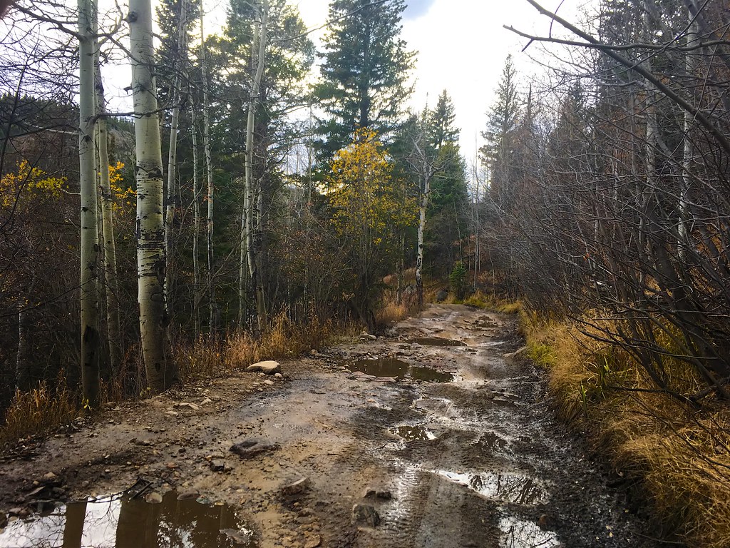 Photo: Nina Stawski, CC BY 2.0 (via Flickr)
BEAVER RESERVOIR CUTOFF
~5 min drive
1.46-mile out-and-back trail with 401 ft elevation gain in Colorado.
 Photo: matthewevans1991, CC BY-SA 2.0 (via Flickr)
Apache Peak
~6 min drive
Route to the summit of Apache Peak (13,442 ft) from Long Lake Trailhead.
Stapp Lakes Cutoff
~2 min drive
1.02-mile out-and-back trail in Colorado with 214 ft elevation gain.
Photo: Nina Stawski, CC BY 2.0 (via Flickr)Buchannan Pass Trail
~5 min drive
11 mi · Moderate
 Photo: PACarlson, CC BY 2.0 (via Flickr)
Beaver Creek
~6 min drive
13.81-mile out-and-back trail in Colorado with 1,094 ft elevation gain.
 Photo: jonathan c. wheeler, CC BY-SA 3.0 (via Wikimedia Commons)
BRAINARD LAKE CUTOFF
~5 min drive
1.18-mile out-and-back trail near Brainard Lake, Colorado with 220 ft elevation gain.
Photo: matthewevans1991, CC BY-SA 2.0 (via Flickr)Kiowa Peak
~6 min drive
Route to the summit of Kiowa Peak (13,156 ft) from Long Lake Trailhead.
Photo: PACarlson, CC BY 2.0 (via Flickr)Mitchell Lake
~6 min drive
4.96-mile out-and-back hike to Mitchell Lake in Colorado at 11,367 ft.
Local operatorsoffering guided trips. You book directly with them — Roamze doesn’t take a cut.
Wildcat Mountaineering
Hiking business nearby (~18 mi away) — hasn't claimed their Roamze page yet
Camp Always Choose Adventures
Hiking business nearby (~23 mi away) — hasn't claimed their Roamze page yet
Alpine Lodge at Red Feather Lakes
Hiking business nearby (~46 mi away) — hasn't claimed their Roamze page yet
