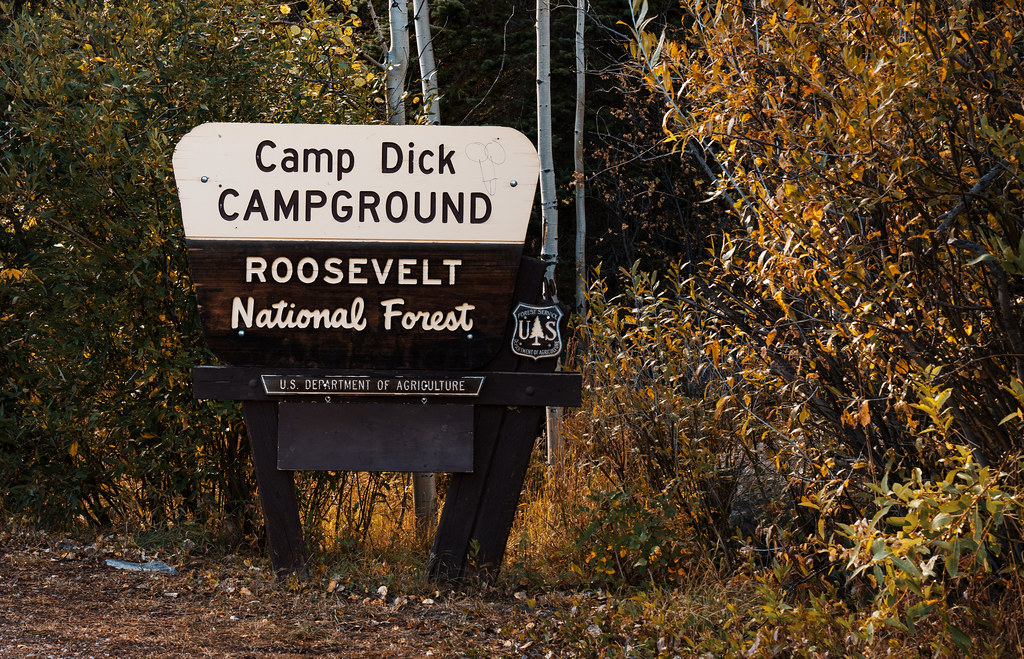
Camp Dick Campground
Campground
Campground · 0.4 mi from the trail
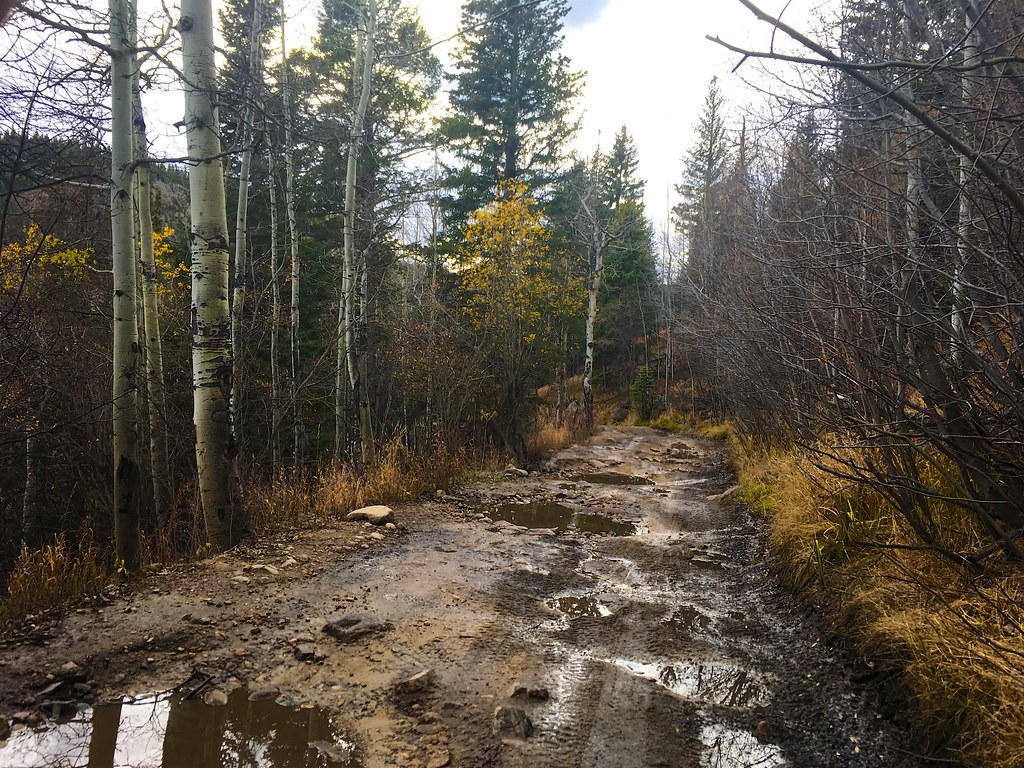 Photo: Nina Stawski, CC BY 2.0 (via Flickr)
Alert in the area
The Forest Service lists 3 alerts for Arapaho and Roosevelt National Forests.
Fire Restrictions
Agency alert covering Arapaho and Roosevelt National Forests · USFS · Arapaho and Roosevelt National Forests
Caribou Road Closure Order
Agency alert covering Boulder Ranger District · Order 02-10-01-26-04 · USFS · Boulder Ranger District
Raptor Nesting Area Closure - Boulder Ranger District
Agency alert covering Boulder Ranger District · Order 02-10-01-26-06 · USFS · Boulder Ranger District
As of · Source: USFS · Arapaho and Roosevelt National Forests. Agencies don't list every closure — check before you go.
Buchannan Pass Trail is a 5.5-mile out-and-back hike in the Boulder Ranger District of the Arapaho and Roosevelt National Forests in Colorado, managed by the Forest Service. The trail is rated moderate, with a one-way climb of about 1,200 feet from a low point of roughly 8,550 feet to a high of about 9,785 feet. The out-and-back format lets hikers set their own turnaround, so you can adjust the distance based on your time and fitness. The trail passes through typical Colorado high-country terrain, and the moderate length makes it a good choice for a half-day outing. Summer is the most comfortable time to go. Typical averages from a nearby weather station at a similar elevation show July highs around 68°F with lows near 43°F, while winter highs stay in the 20s. Dogs, bikes and horses are all allowed on the trail, and it is not wheelchair accessible. Camp Dick Campground and the Warm-up Area climbing area sit within half a mile, and the Beaver Reservoir Cutoff Trail is about 0.7 miles away.
Camp Dick Campground
Campground
Meadow Mountain Cafe
Restaurant
 If it rainsMatt Golon, CC BY-SA 3.0 · Wikimedia Commons
Places © OpenStreetMap contributors · Photos: Matt Golon, CC BY-SA 3.0 (commons)
More in Estes ParkNot on Roamze yet. Their page has how to reach them.
Best months: June and September. Best months have typical highs of 55–85 °F, lows of 30 °F or warmer (32 °F where the station doesn't record snow), at most one snowy day and no more than 12 wet days.
Jan
29° / 12°
15 wet
Feb
28° / 11°
16 wet
Mar
36° / 17°
16 wet
Apr
40° / 22°
17 wet
May
50° / 29°
16 wet
Jun
62° / 36°
12 wet
Jul
68° / 43°
14 wet
Aug
66° / 41°
13 wet
Sep
59° / 34°
10 wet
Oct
47° / 26°
10 wet
Nov
35° / 19°
12 wet
Dec
28° / 12°
15 wet
Typical high / low (°F) and days with rain or snow, 1991–2020. Measured at Boulder 14 W, CO, 6.6 mi away at 9,828 ft. This station doesn't record snowfall. Source: NOAA NCEI U.S. Climate Normals 1991–2020.
Photo: Nina Stawski, CC BY 2.0 (via Flickr)BEAVER RESERVOIR CUTOFF
~1 min drive
1.46-mile out-and-back trail with 401 ft elevation gain in Colorado.
 Photo: Niranjan Arminius, CC BY-SA 4.0 (via Wikimedia Commons)
Beaver Reservoir Cutoff Trail
~1 min drive
1.38-mile out-and-back trail with 435 ft elevation gain in Colorado.
HIKE
St Vrain Mountain
~6 min drive
13.32-mile out-and-back to St Vrain Mountain with 3,588 ft gain.
 Photo: matthewevans1991, CC BY-SA 2.0 (via Flickr)
Apache Peak
~8 min drive
Route to the summit of Apache Peak (13,442 ft) from Long Lake Trailhead.
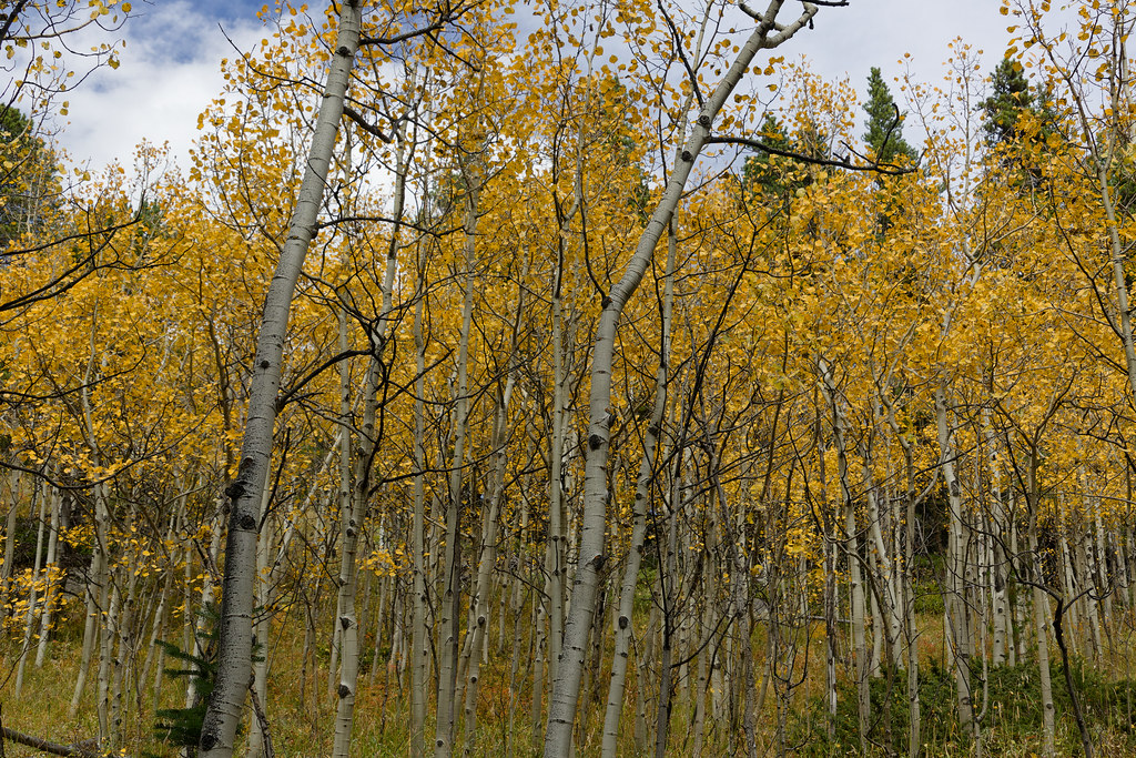 Photo: KimonBerlin, CC BY-SA 2.0 (via Flickr)
Wapiti
~4 min drive
Wapiti is a 2.65-mile out-and-back trail in Colorado with 54 feet of elevation gain.
 Photo: KimonBerlin, CC BY-SA 2.0 (via Flickr)
Sourdough Trail
~5 min drive
1.0-mile out-and-back trail in Colorado with 268 ft elevation gain and loss.
 Photo: PACarlson, CC BY 2.0 (via Flickr)
Beaver Creek
~7 min drive
13.81-mile out-and-back trail in Colorado with 1,094 ft elevation gain.
 Photo: jonathan c. wheeler, CC BY-SA 3.0 (via Wikimedia Commons)
Paiute Peak
~8 min drive
Route to the summit of Paiute Peak (13,012 ft) from Niwot Picnic Area.
Photo: Niranjan Arminius, CC BY-SA 4.0 (via Wikimedia Commons)Bills Loop - Private Trail
~6 min drive
0.51-mile loop in Colorado with 241 ft elevation gain and loss.
 Photo: leighannemcc, CC BY-SA 2.0 (via Flickr)
Waldrop (North)
~6 min drive
4.68-mile out-and-back trail in Colorado with 268 ft gain.
Map and trail data © OpenStreetMap contributors