Sugarloaf
At a glance
Sugarloaf is a 3.4-mile out-and-back hike in the Western Divide Ranger District of Sequoia National Forest, managed by the Forest Service. It rises from a low point of about 6,357 feet to a high of about 7,571 feet, a gain of roughly 1,243 feet, and is rated moderate. The trail's natural surface allows for both horseback riding and mountain biking, so the route works for a range of travelers. It stays open year-round. Several other outings sit within a few miles. Deer Creek is about 1.8 miles away and Frog Meadow about 2.2 miles. Sequoia Grove is about 2.4 miles off, and Quaking Aspen campground is a similar distance.
- round trip
- 3.4 mi
- climb
- 1,243 ft
- high point
- 7,571 ft
- route
- Out and back
Where it is: Western Divide Ranger District · Sequoia National Forest
Near: Porterville
Been here? Tell people how it was.
 Cattle RunHikingPhoto: USDAgov, Public Domain Mark (via Flickr)~5 min drive
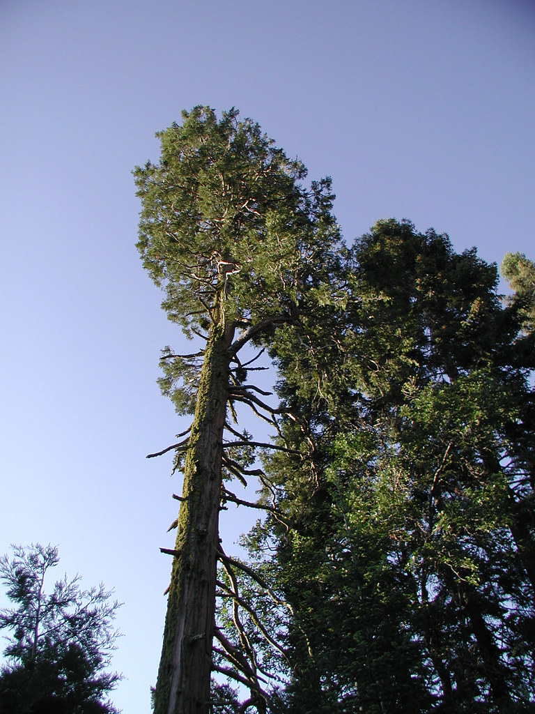 PowderhornHikingPhoto: selkovjr, CC BY 2.0 (via Flickr)~10 min drive
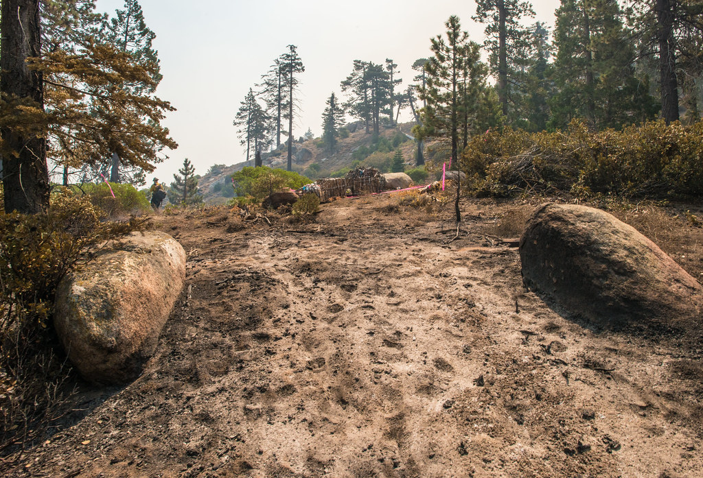 Black Mountain TrailHikingPhoto: USDAgov, Public Domain Mark (via Flickr)~14 min drive
 Rincon TrailHikingPhoto: RuggyBearLA, CC BY 2.0 (via Flickr)~19 min drive
 PacksaddleHikingPhoto: inkknife_2000 (7.5 million views +), CC BY-SA 2.0 (via Wikimedia Commons)~12 min drive
 Flynn CanyonHikingPhoto: inkknife_2000 (7.5 million views +), CC BY-SA 2.0 (via Wikimedia Commons)~11 min drive
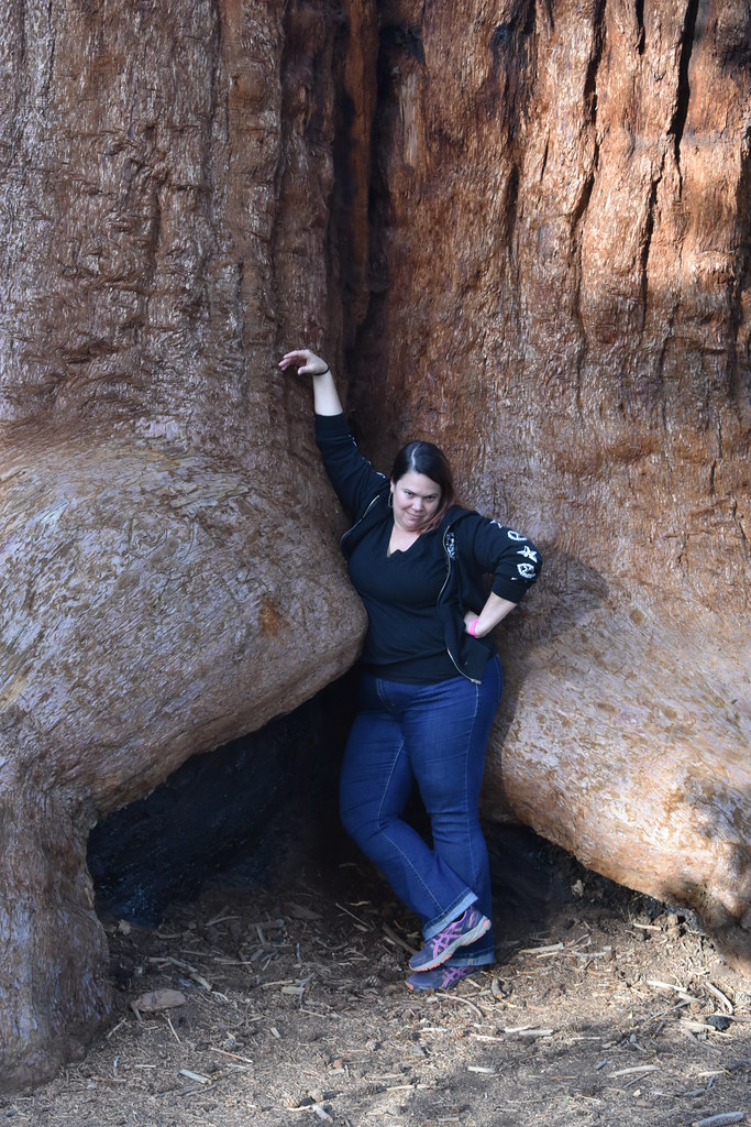 Trail of 100 GiantsHikingPhoto: reverendlukewarm — CC BY-SA 2.0 (via Flickr)~14 min drive
- BLACK MOUNTAIN SADDLEHikingPhoto: USDAgov, Public Domain Mark (via Flickr)~14 min drive
 Tobias CreekHikingPhoto: inkknife_2000 (7.5 million views +), CC BY-SA 2.0 (via Wikimedia Commons)~11 min drive
 RinconHikingPhoto: anon4809, Public Domain Dedication (CC0) (via Flickr)~12 min drive
Conditions and forecast
Caution todayAgency alerts are in effect for this areaUSFS · checked 15 min agoDaily highs and lows, wind and the chance of precipitation at Start for the next 7 days, from the Open-Meteo model.
Ask about this place
Questions about Sugarloaf: conditions, access, timing. Answers say when something isn't known.
