Marys River
At a glance
The Marys River hike is a 10.8-mile out-and-back route in the Jarbidge Wilderness, part of the Mountain City-Ruby Mountains-Jarbidge Ranger District of the Humboldt-Toiyabe National Forest in northeastern Nevada. The Forest Service manages the land, and the trail is rated hard, with a one-way climb of about 1,600 feet from a low point of roughly 6,789 feet to a high of about 8,489 feet. The trail is on natural surface, and horses are allowed. Bikes are not. That makes it a viable option for riders on horseback, but not for cyclists. Several other hikes sit within a few miles, including 76 Creek, T Creek and Lost Draw. Pine Creek Campground, about 10 miles away, is the closest place to camp.
- round trip
- 10.8 mi
- climb
- 1,618 ft
- high point
- 8,489 ft
- route
- Out and back
- time
- About 4.5 hours
Where it is: Jarbidge Wilderness · Mountain City-Ruby Mountains-Jarbidge Ranger District
Near: Jackpot
Been here? Tell people how it was.
 West Marys River to Camp DrawHikingPhoto: simonov, CC BY-SA 2.0 (via Flickr)~8 min drive
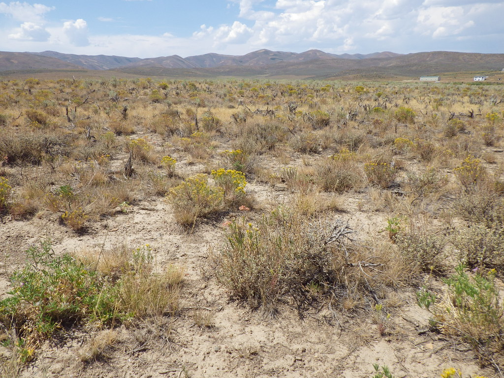 PersonHikingPhoto: Matt Lavin, CC BY-SA 2.0 (via Flickr)~12 min drive
 Jenny CreekHikingPhoto: Matt Lavin, CC BY-SA 2.0 (via Flickr)~21 min drive
- Emerald BasinHiking~10 min drive
 East Fork Jarbidge RiverHikingPhoto: Matt Lavin, CC BY-SA 2.0 (via Flickr)~22 min drive
 Slide CreekHikingPhoto: Matt Lavin, CC BY-SA 2.0 (via Flickr)~22 min drive
- Jarbidge River to Mary's RiverHiking~11 min drive
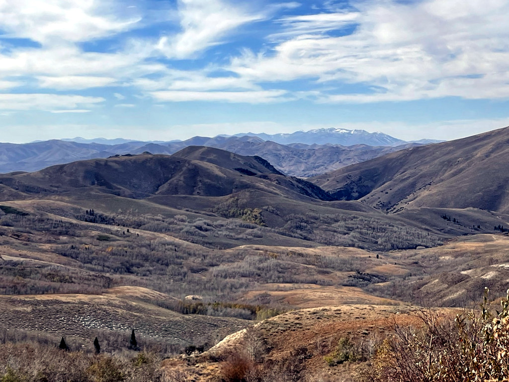 Pine CreekHikingPhoto: simonov, CC BY-SA 2.0 (via Flickr)~12 min drive
- ChalkHiking~7 min drive
Conditions and forecast
Caution todayAgency alerts are in effect for this areaUSFS · checked 9 min agoDaily highs and lows, wind and the chance of precipitation at Start for the next 7 days, from the Open-Meteo model.

Ask about this place
Questions about Marys River: conditions, access, timing. Answers say when something isn't known.
