Person
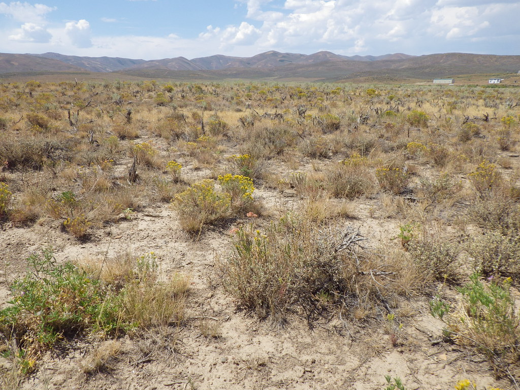 Photo: Matt Lavin, CC BY-SA 2.0 (via Flickr)
- 1.6 mi
- round trip
- 47 ft
- climb
- 6,839 ft
- high point
- Out and back
- route
- Jun–Sep
- best months
Is Person open right now?
Closure in the area
There's a closure order in Humboldt-Toiyabe National Forest. It doesn't name Person, so check the source for the area it covers.
Elephant Fire Closure
Agency closure covering Humboldt-Toiyabe National Forest · Order 04-17-26-01-04 · USFS · Humboldt-Toiyabe National Forest
Area, Road, and Trail Closures (Spring Mountains National Recreation Area)
Agency alert covering Humboldt-Toiyabe National Forest · Order 04-17-25-04 · USFS · Humboldt-Toiyabe National Forest
Year-Round Fire Restrictions (Spring Mountains National Recreation Area)
Agency alert covering Humboldt-Toiyabe National Forest · Order 04-17-24-01 · USFS · Humboldt-Toiyabe National Forest
Vehicle Snow Chain Requirements during Inclement Weather (Spring Mountains National Recreation Area)
Agency alert covering Humboldt-Toiyabe National Forest · Order 04-17-23-01 · USFS · Humboldt-Toiyabe National Forest
Rainbow Canyon Flood Diversion Structure Closure (Spring Mountains National Recreation Area)
Agency alert covering Humboldt-Toiyabe National Forest · Order 04-17-15-01 · USFS · Humboldt-Toiyabe National Forest
As of · Source: USFS · Humboldt-Toiyabe National Forest. Agencies don't list every closure — check before you go.
Person is a 1.56-mile out-and-back trail in Nevada with 47 feet of elevation gain. It is managed by the Forest Service.
- Willow Creek 1Hiking2 mi
- ChalkHiking5.8 mi
- 76 CreekHiking6.3 mi
- CopperHiking6.6 mi
- North Fork 76 CreekHiking7 mi
- Marys RiverHiking7.2 mi
- T CreekHiking8.5 mi
- Lost DrawHiking8.9 mi
Source: Roamze catalog (indexable pages within 10 miles, PostGIS distance)
 West Marys River to Camp DrawHiking · ~15 min drivePhoto: simonov, CC BY-SA 2.0 (via Flickr)
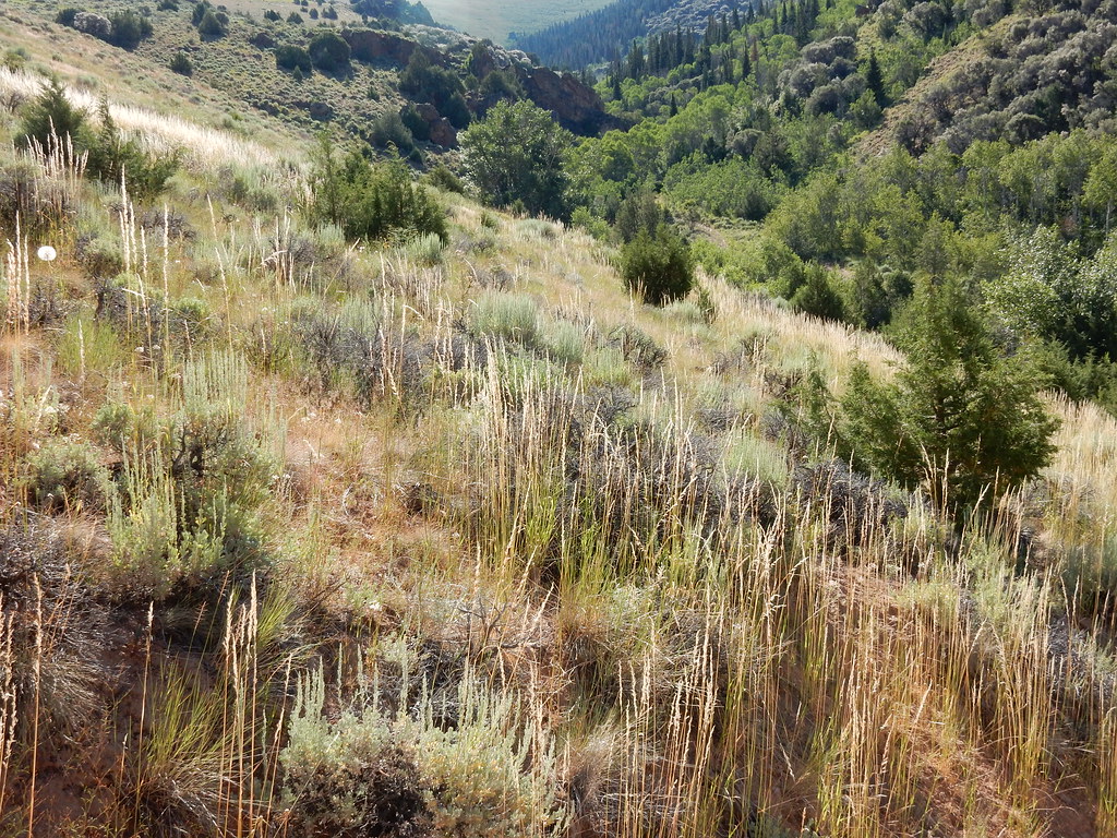 Jenny CreekHiking · ~31 min drivePhoto: Matt Lavin, CC BY-SA 2.0 (via Flickr)
 Jenny CreekHiking · ~30 min drivePhoto: Matt Lavin, CC BY-SA 2.0 (via Flickr)
- ChalkHiking · ~10 min drive
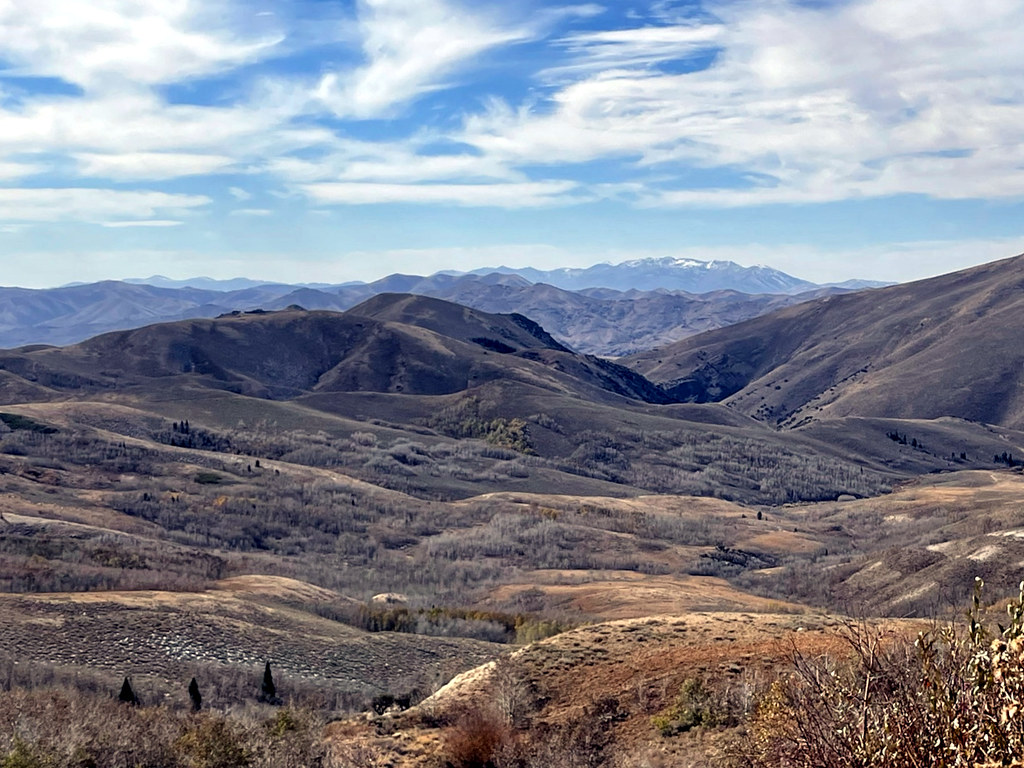 Pine CreekHiking · ~18 min drivePhoto: simonov, CC BY-SA 2.0 (via Flickr)
- Danger TrailHiking · ~21 min drive
- West Marys River - Camp Draw TrailHiking · ~20 min drive
- CopperHiking · ~11 min drive
- JennyHiking · ~32 min drivePhoto: Matt Lavin, CC BY-SA 2.0 (via Flickr)
- Jarbidge River to Mary's RiverHiking · ~21 min drive
Best time to visit Person
Best months: June–September. Best months have typical highs of 55–85 °F, lows of 30 °F or warmer (32 °F where the station doesn't record snow), at most one snowy day and no more than 12 wet days.
Jan
33° / 5°
11 wet · 9 snow
Feb
36° / 8°
10 wet · 8 snow
Mar
44° / 17°
10 wet · 7 snow
Apr
52° / 25°
10 wet · 5 snow
May
62° / 30°
10 wet · 2 snow
Jun
73° / 36°
6 wet
Jul
85° / 41°
4 wet
Aug
83° / 39°
4 wet
Sep
74° / 31°
4 wet
Oct
59° / 23°
6 wet · 2 snow
Nov
45° / 16°
8 wet · 5 snow
Dec
34° / 7°
11 wet · 9 snow
Typical high / low (°F) and days with rain or snow, 1991–2020. Measured at Wild Horse Rsvr, NV, 15.8 mi away at 6,239 ft. The station sits about 600 ft lower than this place, so expect it a little cooler here. Source: NOAA NCEI U.S. Climate Normals 1991–2020.

