Rock Pile Mountain Wilderness
At a glance
Rock Pile Mountain Wilderness is a short, easy out-and-back hike in Missouri's Mark Twain National Forest, within the Potosi / Fredericktown Ranger District and the Rockpile Mountain Wilderness. The trail is about 1.9 miles long, with a total elevation gain of 204 feet, and it is managed by the Forest Service. The route starts at about 1,015 feet and reaches a high point of 1,101 feet, with the steepest stretch at roughly 0.86 miles in, where the grade reaches about 10%. The climb is gentle, and the trail is open year-round, with an estimated trip time of about half an hour. Spring and fall are the most comfortable seasons. Typical averages from a nearby weather station in Fredericktown show May highs around 76°F and October highs around 69°F, while July averages about 88°F. The trail is not accessible, and bikes are not allowed. Horses are permitted. Within about 7 miles are the Silver Mines fishing area, the Silver Mines West Trail, the Beaver Slide climbing area and Marble Creek Campground.
- round trip
- 1.9 mi
- climb
- 204 ft
- high point
- 1,101 ft
- route
- Out and back
- time
- About 45 minutes
- best months
- Early Mar–early Jun, mid-Sep–late Nov
Where it is: Rockpile Mountain Wilderness · Potosi / Fredericktown Ranger District
Near: Fredericktown
Best weeks to go
Early March to early June and mid-September to late November are usually best for hiking here.
Typical highs of 53–80°F and lows of 30°F or warmer in those weeks. Rain falls on about 40% of days at the wettest of them, so plan around showers.
Typical weather: NOAA 1991–2020 normals at Fredericktown, MO, 10 mi away. Not a forecast.
Typical weather by monthBest time to visit Rock Pile Mountain Wilderness
Best months: March–May and October–November. Best months are the ones mostly made of the best weeks for hiking: typical temperatures in its comfortable range, few snowy days and not usually wet, judged with the same limits as our good-day forecasts.
Jan
42°
21°
8 wet · 1 snow
Feb
47°
24°
8 wet · 2 snow
Mar
57°
32°
9 wet · 1 snow
Apr
68°
42°
10 wet
May
76°
52°
11 wet
Jun
84°
60°
8 wet
Jul
88°
65°
8 wet
Aug
87°
62°
8 wet
Sep
80°
54°
7 wet
Oct
69°
42°
8 wet
Nov
56°
32°
8 wet
Dec
45°
24°
9 wet · 1 snow
Typical high / low (°F) and days with rain or snow, 1991–2020. Measured at Fredericktown, MO, 9.7 mi away at 760 ft. Source: NOAA NCEI U.S. Climate Normals 1991–2020.
Been here? Tell people how it was.
 Pilot Knob Guided Hike RouteHikingPhoto: Missouri State Archives, No restrictions (via Wikimedia Commons)~28 min drive
 Braille TrailHikingPhoto: Wikipedian Kbh3rd, CC BY-SA 3.0 (via Wikimedia Commons)~35 min drive
 Goggins Mountain Equestrian TrailHikingPhoto: Kbh3rd, CC BY-SA 3.0 (via Wikimedia Commons)~47 min drive
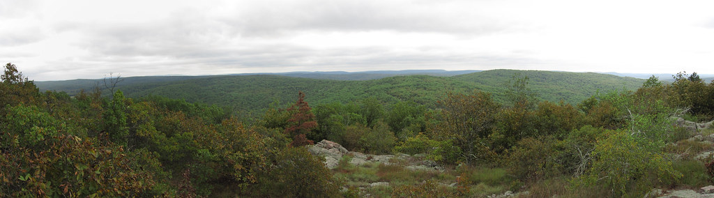 Bell MountainHikingPhoto: cm195902, CC BY 2.0 (via Flickr)~49 min drive
 Ozark Trail - Taum SaukHikingPhoto: cm195902, CC BY 2.0 (via Flickr)~52 min drive
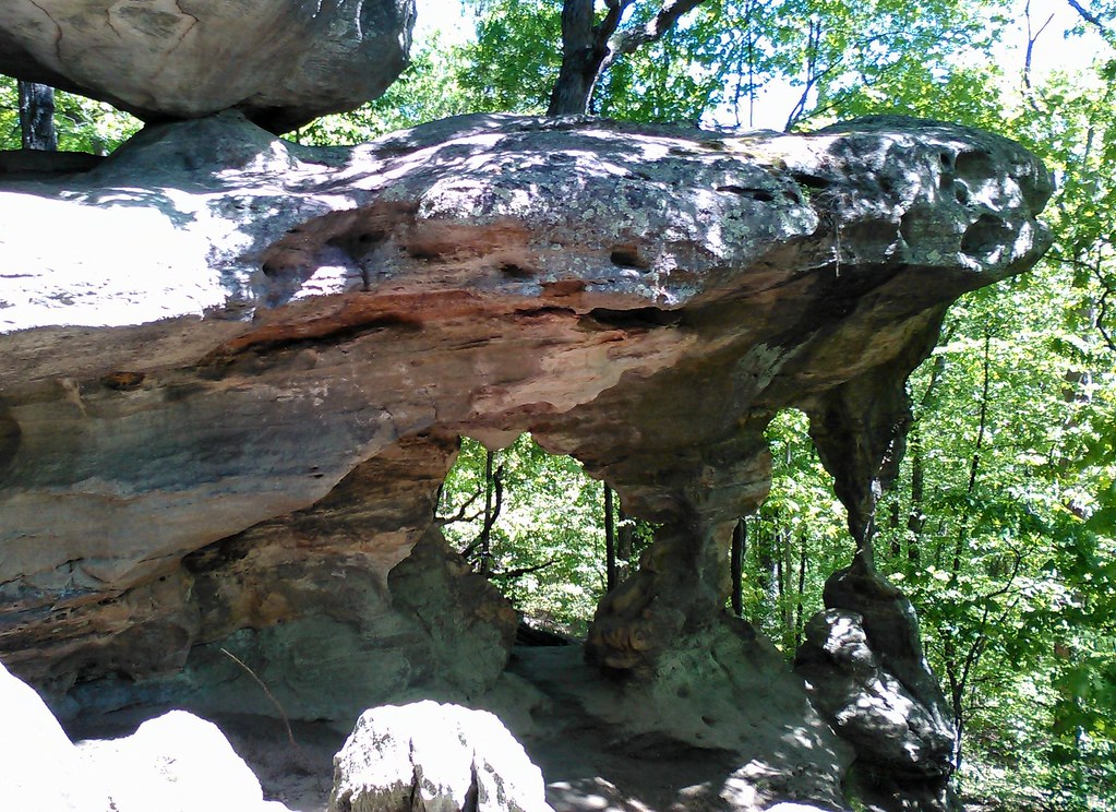 Trail Through TimeHikingPhoto: SymphonicPoet, CC BY 2.0 (via Flickr)~42 min drive
- Mudlick Equestrian Hike TrailHiking~26 min drive
- John J Audubon TrailHiking~38 min drive
- Shut-Ins TrailHiking~25 min drive
 Horseshoe Glade TrailHikingPhoto: CC BY-SA 3.0 (via Wikimedia Commons)~42 min drive
Conditions and forecast
Caution todayAgency alerts are in effect for this areaUSFS · checked 19 min agoDaily highs and lows, wind and the chance of precipitation at Start for the next 7 days, from the Open-Meteo model.
Ask about this place
Questions about Rock Pile Mountain Wilderness: conditions, access, timing. Answers say when something isn't known.
