Silver Mines
- Mar–Jun, Sep–Nov
- best months
Is Silver Mines open right now?
Alert in the area
The Forest Service lists 10 alerts for Mark Twain National Forest.
Crane Lake Dam
Agency alert covering Mark Twain National Forest · USFS · Mark Twain National Forest
Delays on Forest Road 557
Agency alert covering Mark Twain National Forest · USFS · Mark Twain National Forest
Forest Order - Trail 119 Closure Extended (Chadwick Motorized Trail System)
Agency alert covering Mark Twain National Forest · USFS · Mark Twain National Forest
Weather Conditions
Agency alert covering Mark Twain National Forest · USFS · Mark Twain National Forest
Red Bridge Road - Bridge Closure
Agency alert covering Mark Twain National Forest · USFS · Mark Twain National Forest
As of · Source: USFS · Mark Twain National Forest. Agencies don't list every closure — check before you go.
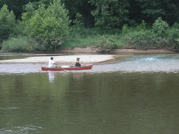
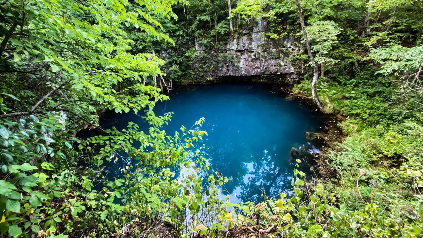
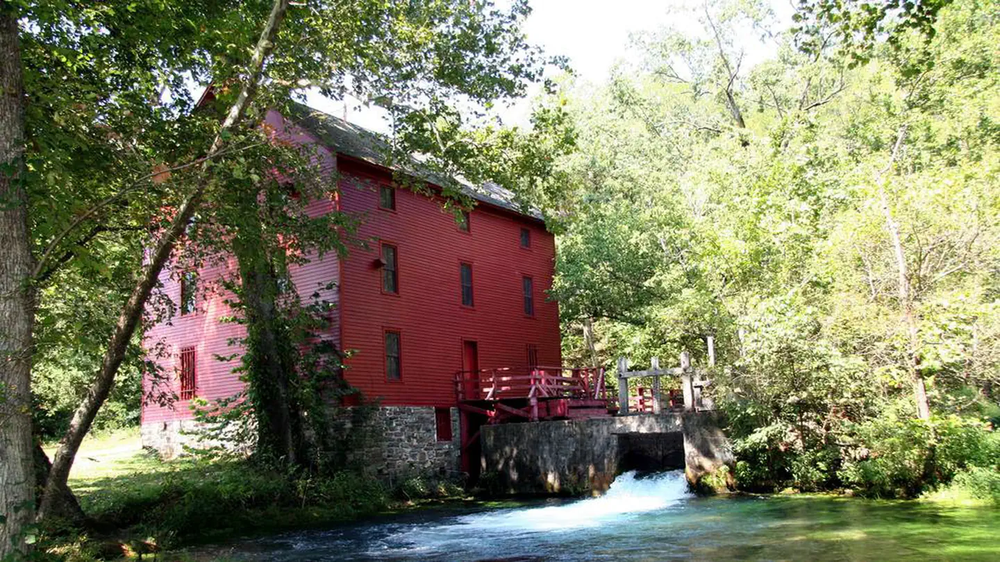
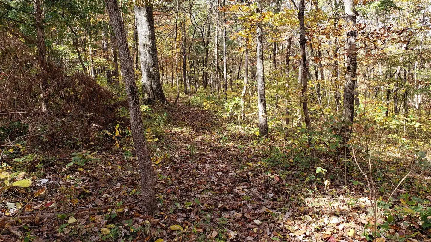
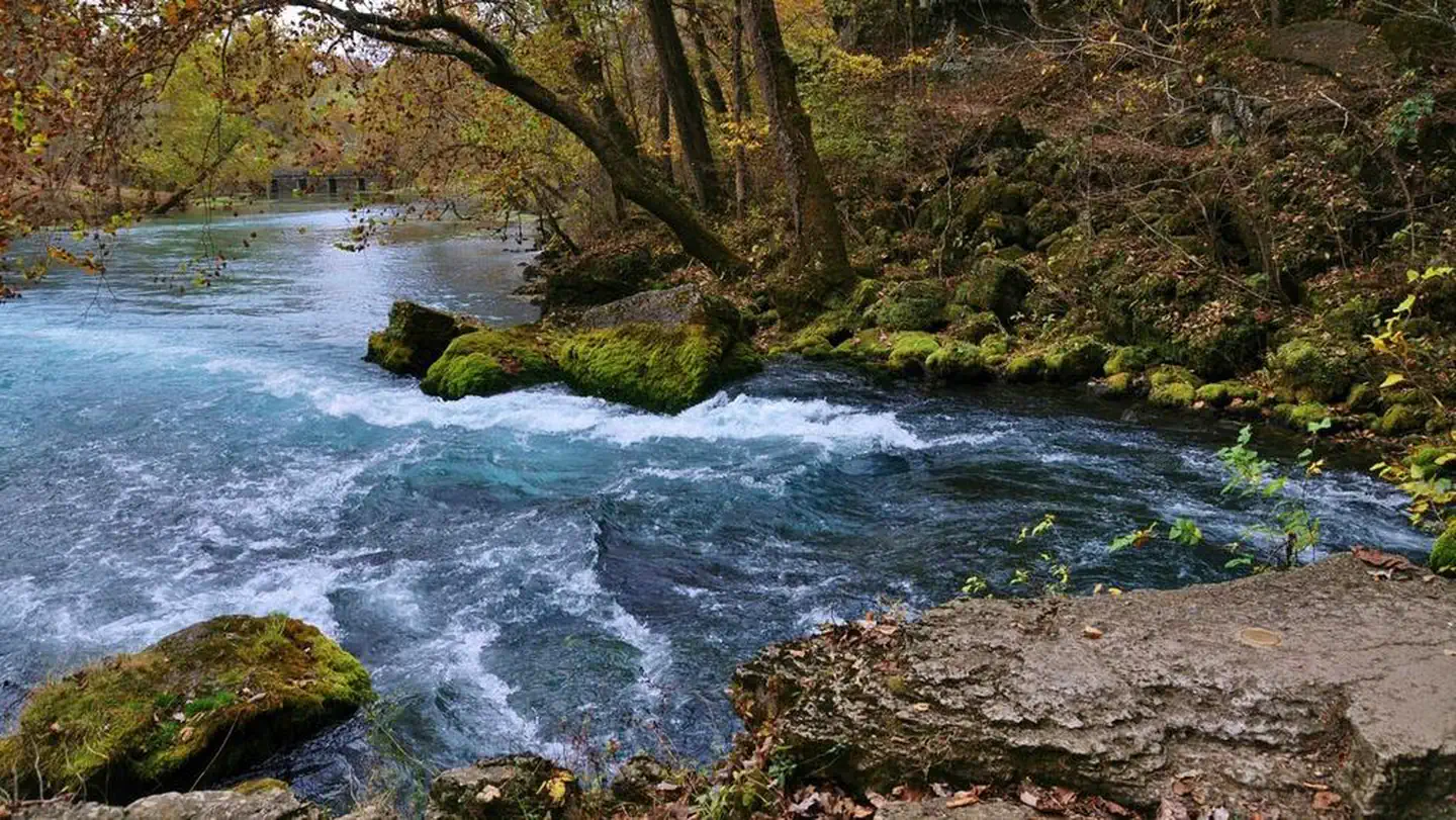
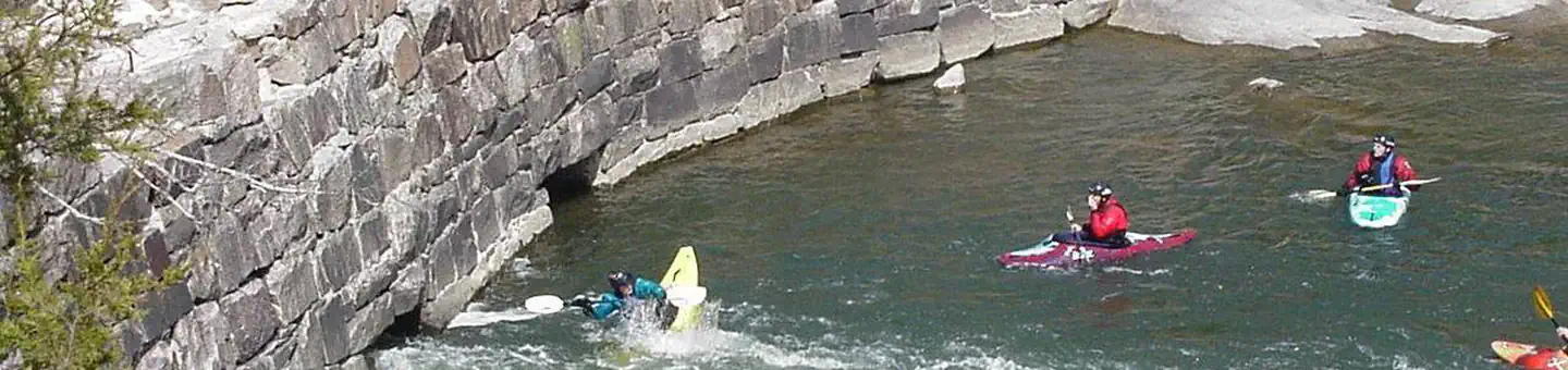
Overview Silver Mines Campground is located on the St. Francis River in the Mark Twain National Forest. It offers a variety of recreational opportunities and abundant historic and geological wonders. Recreation Parts of the river are available for swimming, while other portions provide good fishing. Whitewater kayaking is a popular activity during the springtime when water runs high. Depending on water levels, the state holds an annual kayaking competition the third weekend of March. The 2-mile Silver Mines Trail follows both sides of the river, leading to various picnic areas. A 1.2-mile trail spurs to a popular conservation area, where visitors can view spectacular rock formations along the river. Facilities The campground offers dozens of single-family campsites, as well as large group sites, all available for tent and RV camping. Some sites have 30-amp electric hookups. The large group site can accommodate up to 74 people. Additional sites are offered on a first-come, first-served basis.Picnic tables and campfire rings with grills are provided, as are accessible vault toilets and drinking water. Parking spurs vary from asphalt, to grass, to gravel or dirt. Natural Features This beautiful area is located along the St. Francis River, the only river in Missouri classified as a whitewater river. It is widely used for kayaking during springtime. The campground is located at a historic mining operation and is known for its Precambrian granite and felsite rocks. A variety of wildlife makes its home in the area. Nearby Attractions The Millstream Gardens Conservation Area is located eight miles west of Fredericktown, or four miles west of the campground, on Highway 72. It is home to the scenic Tiemann Shut-ins and other spectacular sights along the riverbed.
- Silver Mines West TrailHiking0.1 mi
- Silver Mines East TrailHiking0.2 mi
- Beaver SlideRock climbing0.2 mi
- River RightRock climbing0.2 mi
- Splitter Crack WallRock climbing0.4 mi
- River LeftRock climbing0.4 mi
- Turkey Creek TrailHiking0.8 mi
- Marble Creek CampgroundCamping9 mi
Source: Roamze catalog (indexable pages within 10 miles, PostGIS distance)
- Highway KRiver fishing · ~41 min drive
- Council Bluff Recreation AreaLake fishing · ~51 min drive
- Loggers Lake CampgroundPier fishing · ~1h 21m drive
- Clearwater LakeLake fishing · ~56 min drive
- Lake WappapelloLake fishing · ~1h 6m drive
- Sutton Bluff Recreation AreaRiver fishing · ~54 min drive
- Greenville Recreation AreaLake fishing · ~54 min drive
- Pinewoods Lake Rec AreaPier fishing · ~1h 22m drive
- River Road ParkRiver fishing · ~59 min drive
- Bluff View(clearwater Lake)Lake fishing · ~55 min drive
Best time to visit Silver Mines
Best months: March–June and September–November. Best months have typical highs of 55–85 °F, lows of 30 °F or warmer (32 °F where the station doesn't record snow), at most one snowy day and no more than 12 wet days.
Jan
42° / 21°
8 wet · 1 snow
Feb
47° / 24°
8 wet · 2 snow
Mar
57° / 32°
9 wet · 1 snow
Apr
68° / 42°
10 wet
May
76° / 52°
11 wet
Jun
84° / 60°
8 wet
Jul
88° / 65°
8 wet
Aug
87° / 62°
8 wet
Sep
80° / 54°
7 wet
Oct
69° / 42°
8 wet
Nov
56° / 32°
8 wet
Dec
45° / 24°
9 wet · 1 snow
Typical high / low (°F) and days with rain or snow, 1991–2020. Measured at Fredericktown, MO, 7.3 mi away at 760 ft. Source: NOAA NCEI U.S. Climate Normals 1991–2020.