San Luis Peak
At a glance
San Luis Peak is an easy out-and-back hike in the La Garita Wilderness, part of the Gunnison Ranger District of the Grand Mesa, Uncompahgre and Gunnison National Forests in Colorado. The Forest Service manages the land, and the trail is about 2.7 miles long, with a one-way elevation gain of 1,388 feet. The route starts at a low point of about 12,630 feet and reaches a high point of about 14,018 feet. The trail is on natural surface, and horses are allowed. Bikes are not. That makes it a good choice for riders on horseback or for anyone who wants to move at a slower pace on foot. Several other hikes lie within a few miles. Stewart Creek Cutoff is about 1.4 miles away, and San Luis Pass and Baldy Alto are each about 2.6 miles off. Cascade Creek is about 3.6 miles away.
- round trip
- 2.7 mi
- climb
- 1,388 ft
- high point
- 14,018 ft
- route
- Out and back
Where it is: La Garita Wilderness · Gunnison Ranger District
Near: City of Creede
Been here? Tell people how it was.
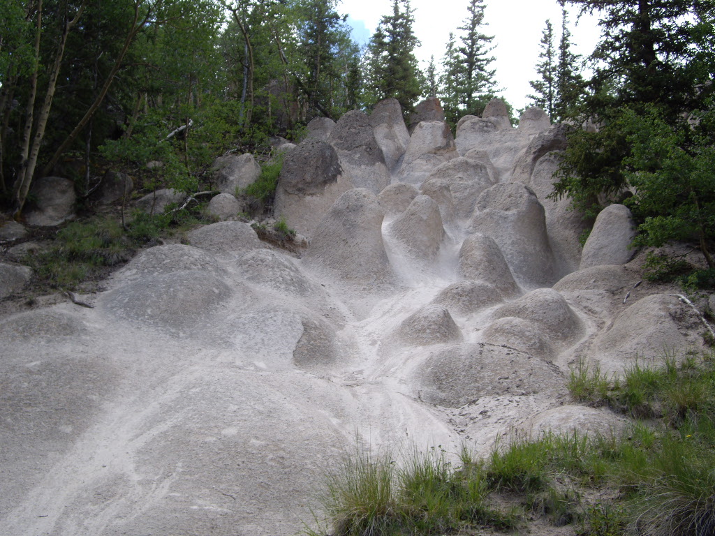
 Dry Gulch TrailHikingPhoto: aspidoscelis, Public Domain Dedication (CC0) (via Flickr)~16 min drive
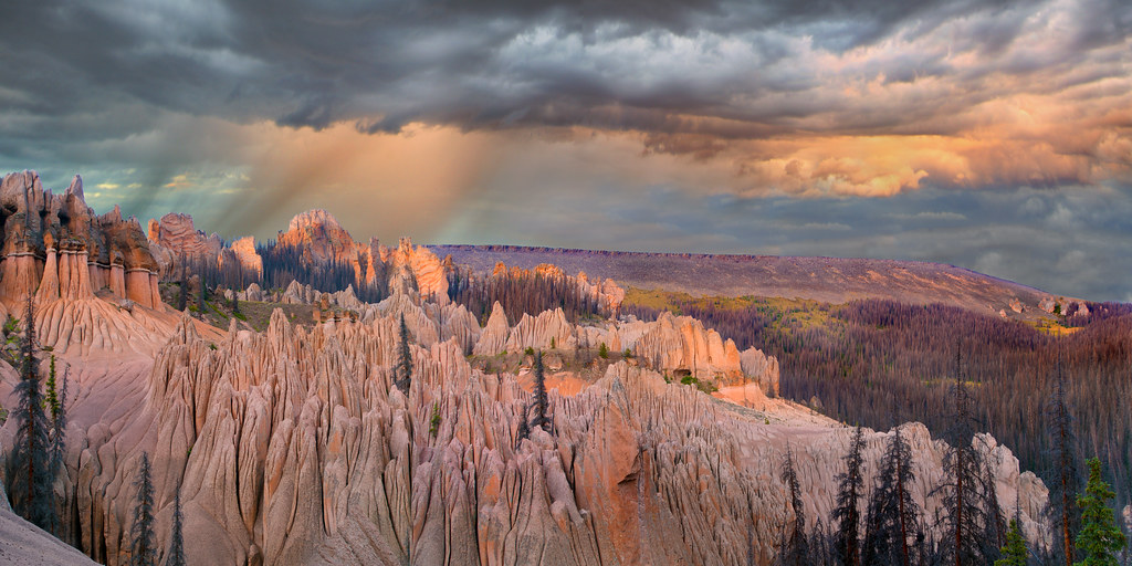
 Wheeler LoopHikingPhoto: C. K. Hartman, CC BY 2.0 (via Flickr)~17 min drive
- Baldy AltoHiking~4 min drive
- Cascade CreekHiking~6 min drive
- Farmers CreekHikingPhoto: aspidoscelis, Public Domain Dedication (CC0) (via Flickr)~18 min drive
 Wason Park Cut-OffHikingPhoto: snowpeak, CC BY 2.0 (via Flickr)~17 min drive
- Organ MountainHiking~10 min drive
- MIDDLE FORK CUTOFFHiking~10 min drive
- STEWART CREEK CUTOFFHiking~2 min drive
- San Luis PassHiking~4 min drive
Conditions and forecast on San Luis Peak
Caution todayAgency alerts are in effect for this areaUSFS · checked 7 min agoDaily highs and lows, wind and the chance of precipitation at the summit and route start for the next 7 days, from the Open-Meteo model.
Ask about this place
Questions about San Luis Peak: conditions, access, timing. Answers say when something isn't known.
Local outfitters
- Blue Creek Lodge16 mi away
- Grizzly RT RV Park27 mi away
Not on Roamze yet. Their page has how to reach them.
Other routes up San Luis Peak
Questions about this route
How long is the San Luis Peak on San Luis Peak?
About 2.7 mi round trip.
How much elevation gain is on the San Luis Peak?
About 1,388 ft of climbing round trip.
How hard is the San Luis Peak?
It is rated moderate.
When is the best time for the San Luis Peak?
Year-round.
How many routes go up San Luis Peak?
3: San Luis Peak, Stewart Creek and Baldy Alto.
