Hart's Prairie
Campground
0.9 mi from the trail
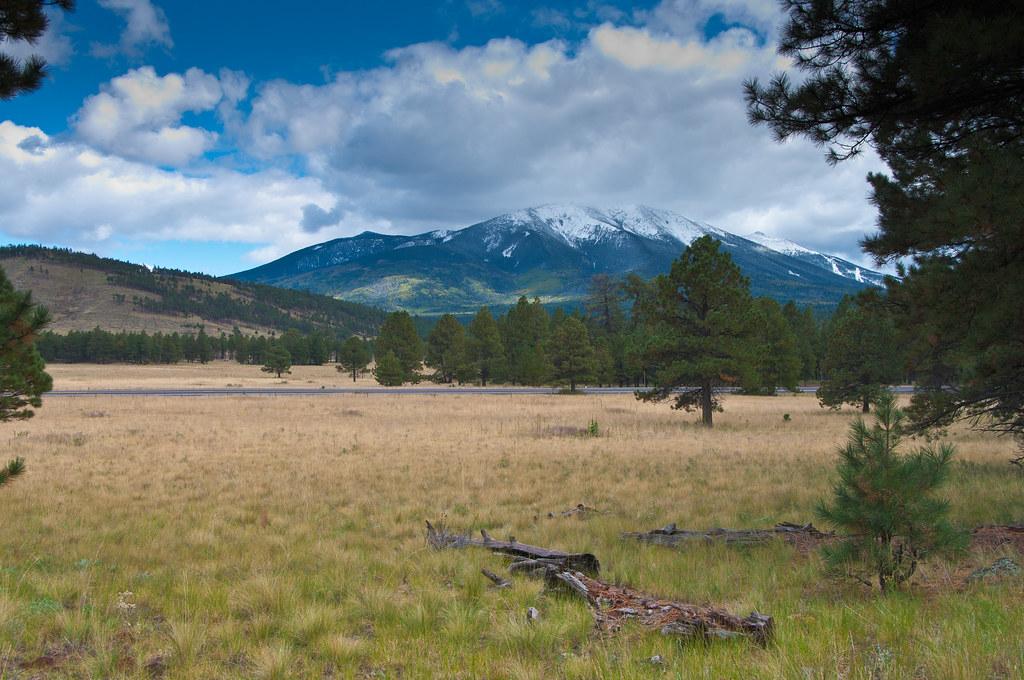 Photo: deborah.soltesz, Public Domain Dedication (CC0) (via Flickr)
Kendrick Park Watchable Loop is a short, easy loop in the Flagstaff Ranger District of Coconino National Forest in Arizona, managed by the Forest Service. The trail is about half a mile long, with a total elevation gain of 22 feet, so it's a gentle walk that can be done in a half hour or so. The loop starts and ends at nearly the same elevation, with the low point at 7,895 feet and the high at 7,919 feet. The trail surface is mixed, and the route is a loop, so you can walk it in either direction. For comfortable weather, late spring and early fall are the best bets. Typical averages from a nearby weather station at Ft Valley show May highs around 71°F and October highs around 66°F, while July and August bring the most wet days of the year. Several other trails lie within a few miles, including Dog Trail and Snowflake, both about 2 miles away, and Bismarck Lake Trailhead Access at about 2.7 miles. Climbers can find Viet Springs about 7 miles off.
Where it is: Flagstaff Ranger District · Coconino National Forest
Near: Flagstaff
Late August to mid-October and late April to early June are usually best for hiking here.
Typical highs of 66–80°F and lows of 30°F or warmer in those weeks. Rain falls on about 35% of days at the wettest of them, so plan around showers.
Typical weather: NOAA 1991–2020 normals at Ft Valley, AZ, 9 mi away. Not a forecast.
Typical weather by monthBest months: May and September. Best months are the ones mostly made of the best weeks for hiking: typical temperatures in its comfortable range, few snowy days and not usually wet, judged with the same limits as our good-day forecasts.
Jan
46°
17°
8 wet
Feb
48°
20°
8 wet
Mar
54°
24°
7 wet
Apr
62°
27°
5 wet
May
71°
33°
4 wet
Jun
82°
40°
3 wet
Jul
84°
49°
11 wet
Aug
81°
49°
13 wet
Sep
76°
41°
8 wet
Oct
66°
30°
5 wet
Nov
55°
23°
5 wet
Dec
46°
16°
7 wet
Typical high / low (°F) and days with rain or snow, 1991–2020. Measured at Ft Valley, AZ, 9.2 mi away at 7,347 ft. The station sits about 600 ft lower than this place, so expect it a little cooler here. This station doesn't record snowfall. Source: NOAA NCEI U.S. Climate Normals 1991–2020.
Been here? Tell people how it was.
 Dog TrailHikingPhoto: joannapoe, CC BY-SA 2.0 (via Flickr)2 mi
 SnowflakeHikingPhoto: Coconino NF Photography, CC BY-SA 2.0 (via Flickr)2.2 mi
 Bismarck Lake Trailhead AccessHikingPhoto: Coconino NF Photography, Public Domain Mark (via Flickr)2.7 mi
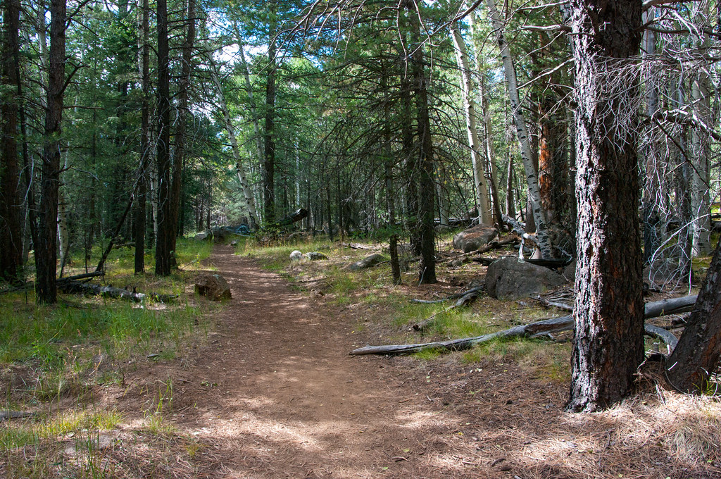 Bismarck LakeHikingPhoto: Coconino NF Photography, Public Domain Dedication (CC0) (via Flickr)3 mi
 North EndRock climbingPhoto: raganmd, CC BY-SA 2.0 (via Flickr)7.2 miSouth EndRock climbingPhoto: raganmd, CC BY-SA 2.0 (via Flickr)7.2 miDog TrailHikingPhoto: joannapoe, CC BY-SA 2.0 (via Flickr)~3 min drive
 Rocky MotoHikingPhoto: InSapphoWeTrust from Los Angeles, California, USA, CC BY-SA 2.0 (via Wikimedia Commons)~15 min drive
 Ricochet TrailHikingPhoto: Coconino NF Photography, Public Domain Mark (via Flickr)~16 min driveSnowflakeHikingPhoto: Coconino NF Photography, CC BY-SA 2.0 (via Flickr)~4 min drive
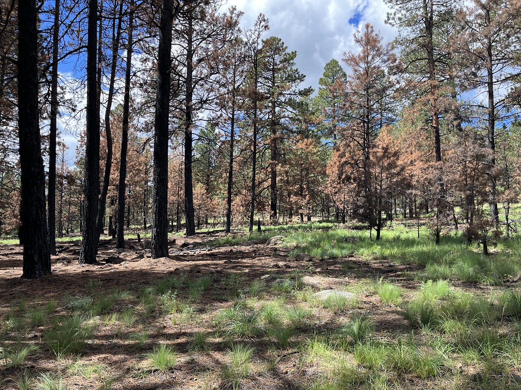 SecretHikingPhoto: Coconino NF Photography, Public Domain Mark (via Flickr)~17 min drive
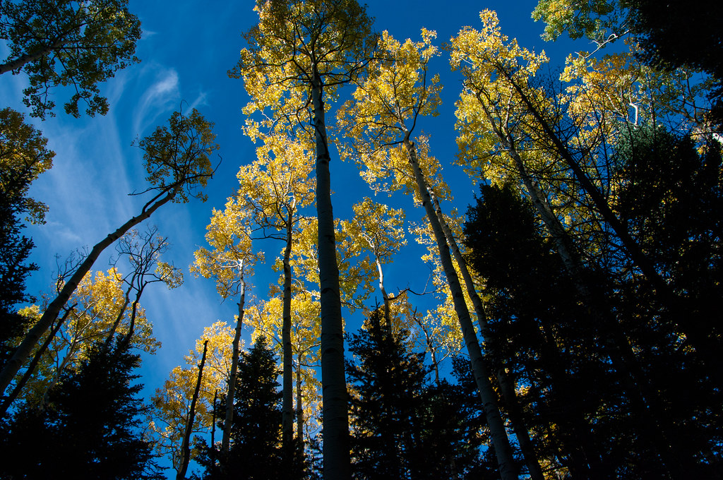 Bear JawHikingPhoto: Coconino NF Photography, Public Domain Dedication (CC0) (via Flickr)~9 min driveDog TrailHikingPhoto: joannapoe, CC BY-SA 2.0 (via Flickr)~4 min drive
Daily highs and lows, wind and the chance of precipitation at Start for the next 7 days, from the Open-Meteo model.
Questions about Kendrick Park Watchable Loop: conditions, access, timing. Answers say when something isn't known.
Hart's Prairie
Campground
Agassiz Lodge & Restaurant
Comfort food restaurant
Museum of Northern Arizona Research Center
Museum
Places © OpenStreetMap contributors, Places © Overture Maps Foundation
More in Kachina VillageNot on Roamze yet. Their page has how to reach them.
