

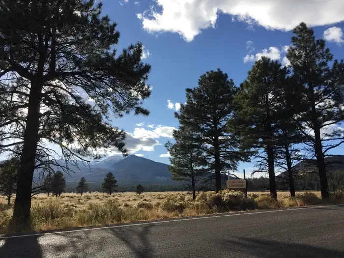
Village Camp
Hiking business nearby (~13 mi away) — hasn't claimed their Roamze page yet
Free — you'll pick up right here.
Watch this trail
Sign up to watch it — saving subscribes you to gate, closure and report changes.
Arizona
4.6 mi
Distance
1,158 ft
Gain
2h 8m
Time
An agency closure order is in effect for this area; weather is good
2 factors · 2 sources
Newest 20 h ago · oldest 6 d
problem: Agency alerts
12 active alerts in Coconino National Forest; most severe: West Fork Temporary Area Closure
USFS6 d ago
clear: Weather
Clouds, high 67°F / low 50°F, 0% precip — 97/100 for hike
OpenWeather20 h ago
Been out here in the last few days? One report keeps this current for everyone.
Why you'll love it
Bear Jaw
AI-suggested draft · review before you go
No permit or access details on file for this trail — check with the local land manager before you go.
Bear Jaw is a 4.6-mile out-and-back trail located in Arizona. The route features 1,158 feet of elevation gain, making it a moderately challenging hike suitable for those with some hiking experience. The steady climb throughout the trail provides good cardiovascular exercise while offering scenic views of the surrounding Arizona landscape. The out-and-back format means hikers will retrace their route on the return journey, allowing for a full 9.2 miles of total hiking distance. This trail structure is ideal for those who want to turn back at any point or enjoy a different perspective of the landscape on the descent. The elevation gain is distributed across the hike, creating a consistent grade rather than steep sections. This makes it accessible for intermediate hikers looking to build endurance without extreme technical difficulty. Bear Jaw offers a straightforward hiking experience in Arizona's diverse terrain. Whether you're looking for a moderate workout or a chance to explore the region's natural landscape, this trail provides a solid half-day adventure.

Humphreys Summit Trail #151
~6 min drive
9.7 mi · Moderate
Abineau
~1 min drive
4.8 mi · Easy
Humphreys Peak
~7 min drive
Standard route to Humphreys Peak (12,633 ft) from Humphreys Trailhead (Arizona Snowbowl).
Arizona Trail-Saddle Mountain
~9 min drive
6.26-mile out-and-back trail in Arizona with 1090 ft elevation gain.
Waterline
~12 min drive
28 mi · Hard
Inner Basin Trail #29
~5 min drive
4.1 mi · Moderate
Bismarck Lake
~6 min drive
2.1 mi · Easy
Arizona Trail-Fort Valley
~12 min drive
2.86-mile out-and-back trail in Arizona with 292 ft elevation gain.
Weatherford Trail #102
~12 min drive
21 mi · Hard
Kachina Trail #150
~8 min drive
11 mi · Moderate
Also worth it near here
Local operatorsoffering guided trips. You book directly with them — Roamze doesn’t take a cut.
Village Camp
Hiking business nearby (~13 mi away) — hasn't claimed their Roamze page yet
Four Season Guides
Hiking business nearby (~13 mi away) — hasn't claimed their Roamze page yet
Wander Camp
Hiking business nearby (~34 mi away) — hasn't claimed their Roamze page yet