Hemlock Falls
At a glance
Hemlock Falls is an easy out-and-back hike of about a mile in the Chattooga River Ranger District of the Chattahoochee-Oconee National Forests in north Georgia. The Forest Service manages the land, and the trail is rated easy with a one-way climb of about 230 feet, from a low point of roughly 1,950 feet to a high of about 2,195 feet. The trail is natural-surfaced and allows bikes, so it works for hikers and riders alike. October is a comfortable time to go, with typical highs around 71°F and lows near 47°F, based on averages from a nearby weather station. Spring is similar, with April highs around 70°F. Several other trails lie within a few miles, including the North Fork Trail about 2 miles away and the Parks Gap Trail at about 2.4 miles. Climbers can head to Graffiti Boulder, about 2.8 miles off, and Tate Branch Campground offers camping about 7.8 miles away.
- round trip
- 1.0 mi
- climb
- 292 ft
- high point
- 2,195 ft
- route
- Out and back
- time
- About 45 minutes
- best months
- Late Jan–early Jun, early Sep–mid-Jan
Where it is: Chattooga River Ranger District · Chattahoochee-Oconee National Forests
Near: Clayton
Best weeks to go
Late January to early June and early September to mid-January are usually best for hiking here.
Typical highs of 50–80°F and lows of 30°F or warmer in those weeks. Rain falls on about 35% of days at the wettest of them, so plan around showers.
Typical weather: NOAA 1991–2020 normals at Clayton 1 Ssw, GA, 12 mi away. Not a forecast.
Typical weather by monthBest time to visit Hemlock Falls
Best months: September–May. Best months are the ones mostly made of the best weeks for hiking: typical temperatures in its comfortable range, few snowy days and not usually wet, judged with the same limits as our good-day forecasts.
Jan
50°
30°
11 wet
Feb
54°
31°
10 wet
Mar
61°
37°
11 wet
Apr
70°
44°
10 wet
May
76°
53°
11 wet
Jun
83°
61°
12 wet
Jul
85°
65°
13 wet
Aug
84°
64°
12 wet
Sep
79°
59°
10 wet
Oct
71°
47°
9 wet
Nov
61°
37°
9 wet
Dec
53°
32°
11 wet
Typical high / low (°F) and days with rain or snow, 1991–2020. Measured at Clayton 1 Ssw, GA, 11.7 mi away at 1,965 ft. This station doesn't record snowfall. Source: NOAA NCEI U.S. Climate Normals 1991–2020.
Closures we've recorded since August 2026
Spring 2026 Forest-wide Fire Restrictions
Chattahoochee-Oconee National Forests · Order dated April 23, 2026; seen Aug 23, 2026 → lifted Oct 13, 2026 · Forest Service
Been here? Tell people how it was.
- North Fork TrailHiking2 mi
- parks gap trailHiking2.4 mi
- Moccasin Creek TrailHiking2.8 mi
- Graffiti BoulderRock climbing2.8 mi
- Deep Gap TrailHiking3.4 mi
- A.t. Plum Orchard ShelterCamping6.8 mi
- Tate Branch CampgroundCamping7.8 mi
 Lake Rabun Beach Recreation AreaCampingPhoto: Recreation.gov (RIDB) / public domain9.1 mi
 Smith Creek TrailHikingPhoto: Bas van Oorschot, CC BY-SA 3.0 (via Wikimedia Commons)~15 min drive
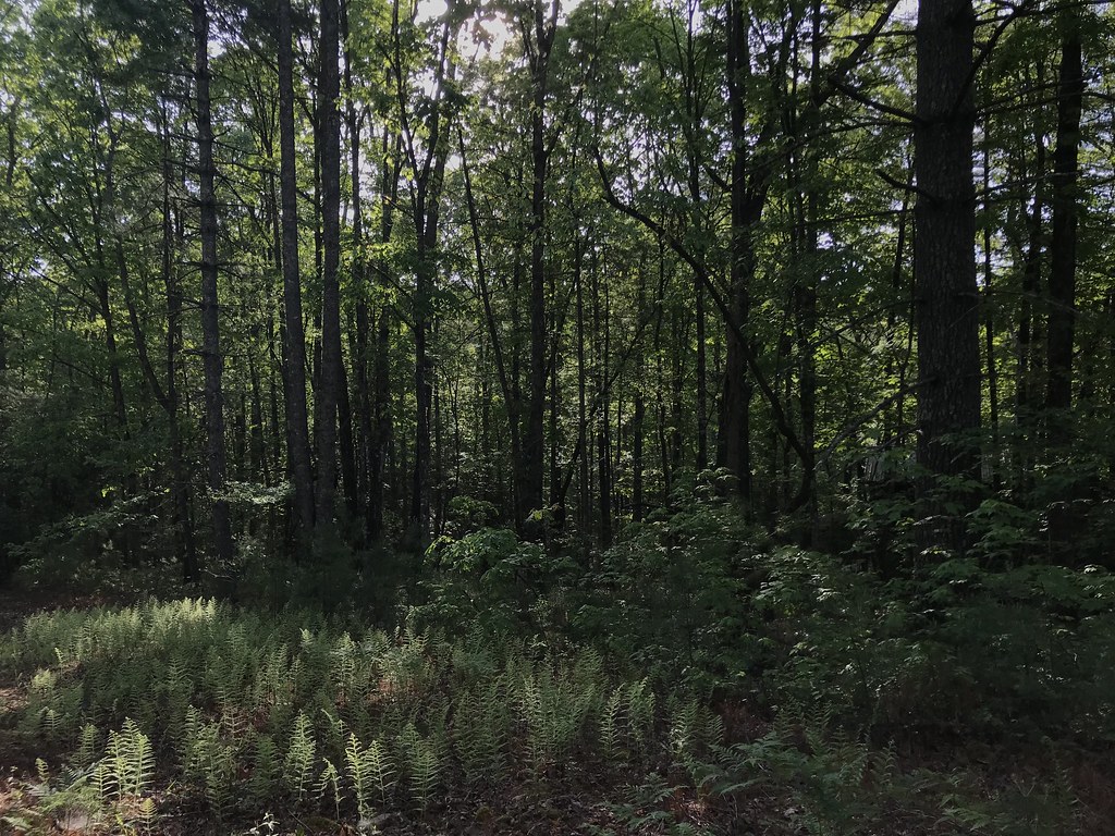 Rabun BeachHikingPhoto: KW Baker, CC BY-SA 2.0 (via Flickr)~16 min drive
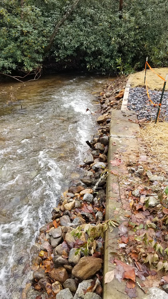 Hickory Nut Cove TrailHikingPhoto: ChattOconeeNF, CC BY 2.0 (via Flickr)~16 min drive
 Buck Creek TrailHikingPhoto: Wncoutdoors, CC BY-SA 3.0 (via Wikimedia Commons)~20 min drive
- Chestnut Mountain TrailHikingPhoto: ChattOconeeNF, CC BY 2.0 (via Flickr)~16 min drive
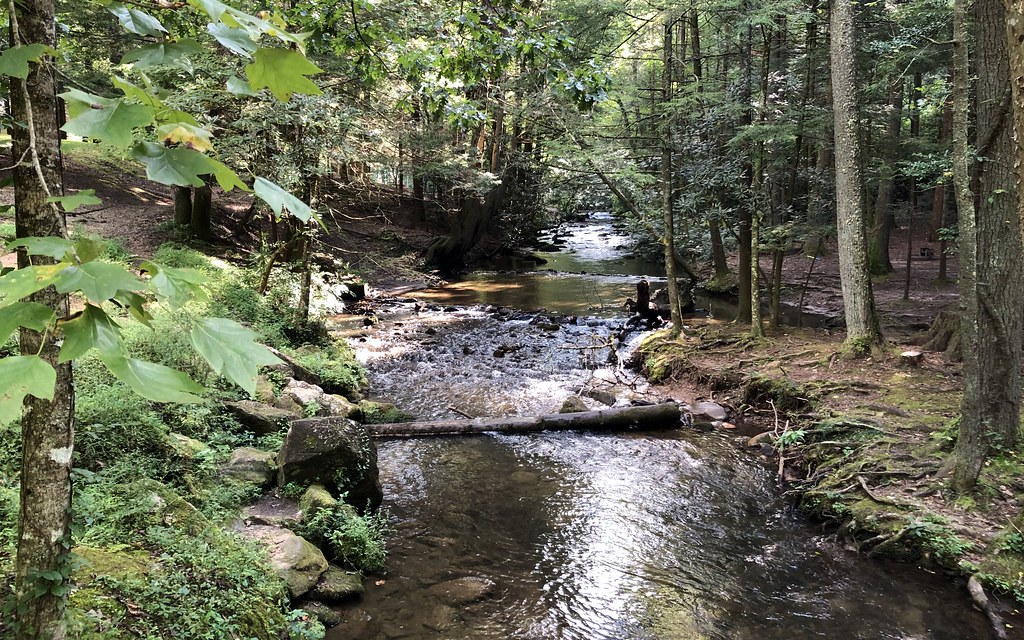 Lake TrailHikingPhoto: gary_leavens, CC BY-SA 2.0 (via Flickr)~19 min drive
- Stonewall Falls Mountain BikeHiking~14 min drive
 Grassy Ridge/Carter Gap TrailHikingPhoto: ChattOconeeNF, CC BY 2.0 (via Flickr)~19 min drive
 Tennessee Rock TrailHikingPhoto: lns1122, CC BY 2.0 (via Flickr)~19 min drive
- Deep Gap TrailHiking~6 min drive
Conditions and forecast
Daily highs and lows, wind and the chance of precipitation at Start for the next 7 days, from the Open-Meteo model.


Ask about this place
Questions about Hemlock Falls: conditions, access, timing. Answers say when something isn't known.
Local outfitters
- Wildwater White Water Rafting & Zipline Canopy Tours20 mi away
- Headwaters Outfitters48 mi away
Not on Roamze yet. Their page has how to reach them.
