A.t. Plum Orchard Shelter
Campground
Campground · < 0.1 mi from the trail
Caution today
Agency alerts are in effect for this area; weather is good · USFS, OpenWeather · checked 8 h ago
Closure in the area
There's a closure order in Chattahoochee-Oconee National Forests. It doesn't name A.t. Plum Orchard Shelter, so check the source for the area it covers (5 listed).
West Cowpen, FS Road 17, Road Maintenance
Agency closure covering Chattahoochee-Oconee National Forests · USFS · Chattahoochee-Oconee National Forests
Bear Creek Road, FS 241, Temporarily Closed
Agency closure covering Chattahoochee-Oconee National Forests · USFS · Chattahoochee-Oconee National Forests
Prescribed fire on Oconee Ranger District at Jasper County
Agency closure covering Chattahoochee-Oconee National Forests · USFS · Chattahoochee-Oconee National Forests
Muskrat Road, FS 218, Temporarily Closed
Agency closure covering Chattahoochee-Oconee National Forests · USFS · Chattahoochee-Oconee National Forests
Flash Flood Awareness
Agency closure covering Chattahoochee-Oconee National Forests · USFS · Chattahoochee-Oconee National Forests
As of · Source: USFS · Chattahoochee-Oconee National Forests. Agencies don't list every closure — check before you go.
A.T. Plum Orchard Shelter is a Forest Service campground in the Chattooga River Ranger District of the Chattahoochee-Oconee National Forests in north Georgia. No fees are required to use the site, which makes it an easy stop for an overnight stay in the forest. The most comfortable months for a visit are typically late spring and early fall. Typical averages from the nearby Germany Valley weather station run from highs around 72°F in May to about 74°F in September, with July the warmest at about 80°F. Tate Branch Campground sits about 2 miles away, and the Tate Branch Trail and Coleman River hikes are both within about 3 miles. Climbers can find Graffiti Boulder roughly 4 miles off.
A.t. Plum Orchard Shelter
Campground
Sunset Rock
Viewpoint
Cliff in Macon County, North Carolina, United States
Places © OpenStreetMap contributors, Places © Overture Maps Foundation
More in HighlandsNot on Roamze yet. Their page has how to reach them.
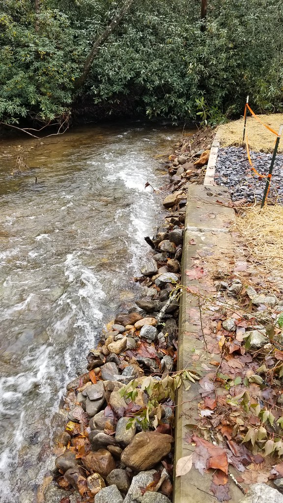 Chestnut Mountain TrailHikingPhoto: ChattOconeeNF, CC BY 2.0 (via Flickr)4 mi
Source: Roamze catalog (indexable pages within 10 miles, PostGIS distance)
 A.t. Muskrat Creek ShelterCamping · ~9 min drivePhoto: Harrison Keely, CC BY 4.0 (via Wikimedia Commons)
 A.T. Carter Gap ShelterCamping · ~11 min drivePhoto: Pete Seabolt, CC BY 3.0 (via Wikimedia Commons)A.T. Standing Indian ShelterCamping · ~16 min drivePhoto: Pete Seabolt, CC BY 3.0 (via Wikimedia Commons)
 A.T. Long Branch ShelterCamping · ~17 min drivePhoto: Pete Seabolt, CC BY 3.0 (via Wikimedia Commons)
 Sundowner RV VillageCamping · ~23 min drivePhoto: Miles Buddy, CC BY-SA 3.0 (via Wikimedia Commons)
 A.T. Siler Bald ShelterCamping · ~24 min drivePhoto: Warren LeMay from Covington, KY, United States, CC0 (via Wikimedia Commons)
 A.T. Rock Gap ShelterCamping · ~18 min drivePhoto: Warren LeMay from Covington, KY, United States, CC0 (via Wikimedia Commons)
 Jackrabbit Mountain CampgroundCamping · ~19 min drivePhoto: Miles Buddy, CC BY-SA 3.0 (via Wikimedia Commons)
Best months: March–November. Best months have typical highs of 55–85 °F, lows of 30 °F or warmer (32 °F where the station doesn't record snow), at most one snowy day and no more than 12 wet days.
Jan
46° / 26°
Feb
50° / 28°
Mar
57° / 35°
Apr
66° / 43°
May
72° / 51°
Jun
77° / 59°
Jul
80° / 62°
Aug
79° / 61°
Sep
74° / 55°
Oct
66° / 44°
Nov
57° / 35°
Dec
49° / 30°
Typical high / low (°F) and days with rain or snow, 1991–2020. Measured at Germany Valley, GA, 7.9 mi away at 2,832 ft. This station doesn't record snowfall. Source: NOAA NCEI U.S. Climate Normals 1991–2020.
Spring 2026 Forest-wide Fire Restrictions
Chattahoochee-Oconee National Forests · Order dated April 23, 2026; seen Aug 23, 2026 → lifted Oct 13, 2026 · Forest Service

