Lake Chatuge
At a glance
Lake Chatuge is an easy hike of about 1.8 miles in the Blue Ridge Ranger District of the Chattahoochee-Oconee National Forests in north Georgia. The trail rises about 22 feet from a low point of 1,923 feet to a high of 1,955 feet, with the steepest stretch at about 0.48 miles in, where the grade reaches 13 percent. The surface is natural, and the route is open year-round. Spring and fall are the most comfortable times to go. Typical averages from a nearby weather station in Hayesville, North Carolina, run to highs around 69°F in April and 70°F in October, while July and August average highs near 84°F. Bikes are allowed on the trail. The closest neighbor is Chatuge Lake, a fishing spot about 2 miles away. Within roughly 3 miles you'll also find the Miller Trek and the Saba Beach and Yotee's Run hikes.
- loop
- 1.8 mi
- climb
- 22 ft
- high point
- 1,955 ft
- route
- Loop
- time
- About 45 minutes
- best months
- Mar–Nov
Where it is: Blue Ridge Ranger District · Chattahoochee-Oconee National Forests
Near: Hiawassee
Best time to visit Lake Chatuge
Best months: March–November. Best months have typical highs of 55–85 °F, lows of 30 °F or warmer (32 °F where the station doesn't record snow), at most one snowy day and no more than 12 wet days.
Jan
49°
24°
Feb
54°
27°
Mar
60°
33°
Apr
69°
40°
May
75°
51°
Jun
81°
59°
Jul
84°
62°
Aug
84°
61°
Sep
79°
55°
Oct
70°
43°
Nov
60°
32°
Dec
52°
28°
Typical high / low (°F) and days with rain or snow, 1991–2020. Measured at Hayesville 1 Ne, NC, 7.1 mi away at 1,792 ft. This station doesn't record snowfall. Source: NOAA NCEI U.S. Climate Normals 1991–2020.
Closures we've recorded since August 2026
Spring 2026 Forest-wide Fire Restrictions
Chattahoochee-Oconee National Forests · Order dated April 23, 2026; seen Aug 23, 2026 → lifted Oct 13, 2026 · Forest Service
Been here? Tell people how it was.
- Chatuge LakeLake fishing2 mi
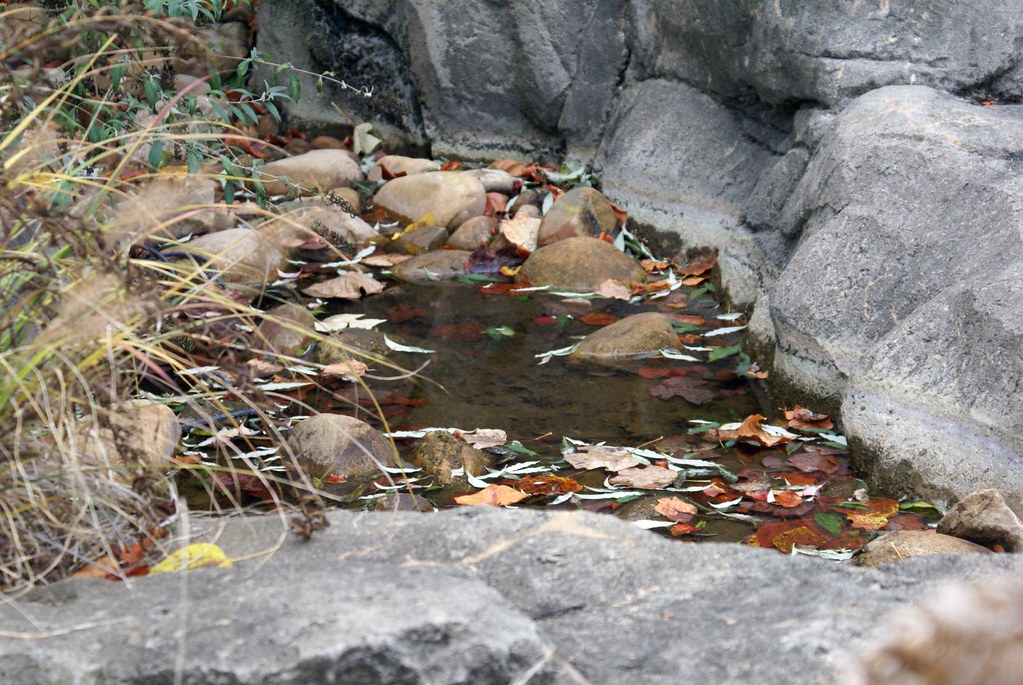 Miller TrekHikingPhoto: Clevergrrl, CC BY-SA 2.0 (via Flickr)2.9 mi
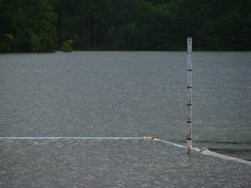 Saba BeachHikingPhoto: alex_ford, CC BY 2.0 (via Flickr)3 mi
- Yotee's RunHiking3.4 mi
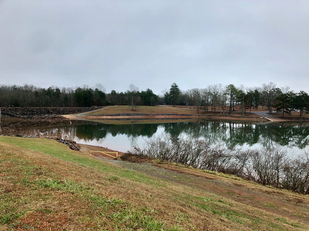 Burrell CoveHikingPhoto: w_lemay, Public Domain Dedication (CC0) (via Flickr)3.4 mi
- Sneaking CreekHiking3.4 mi
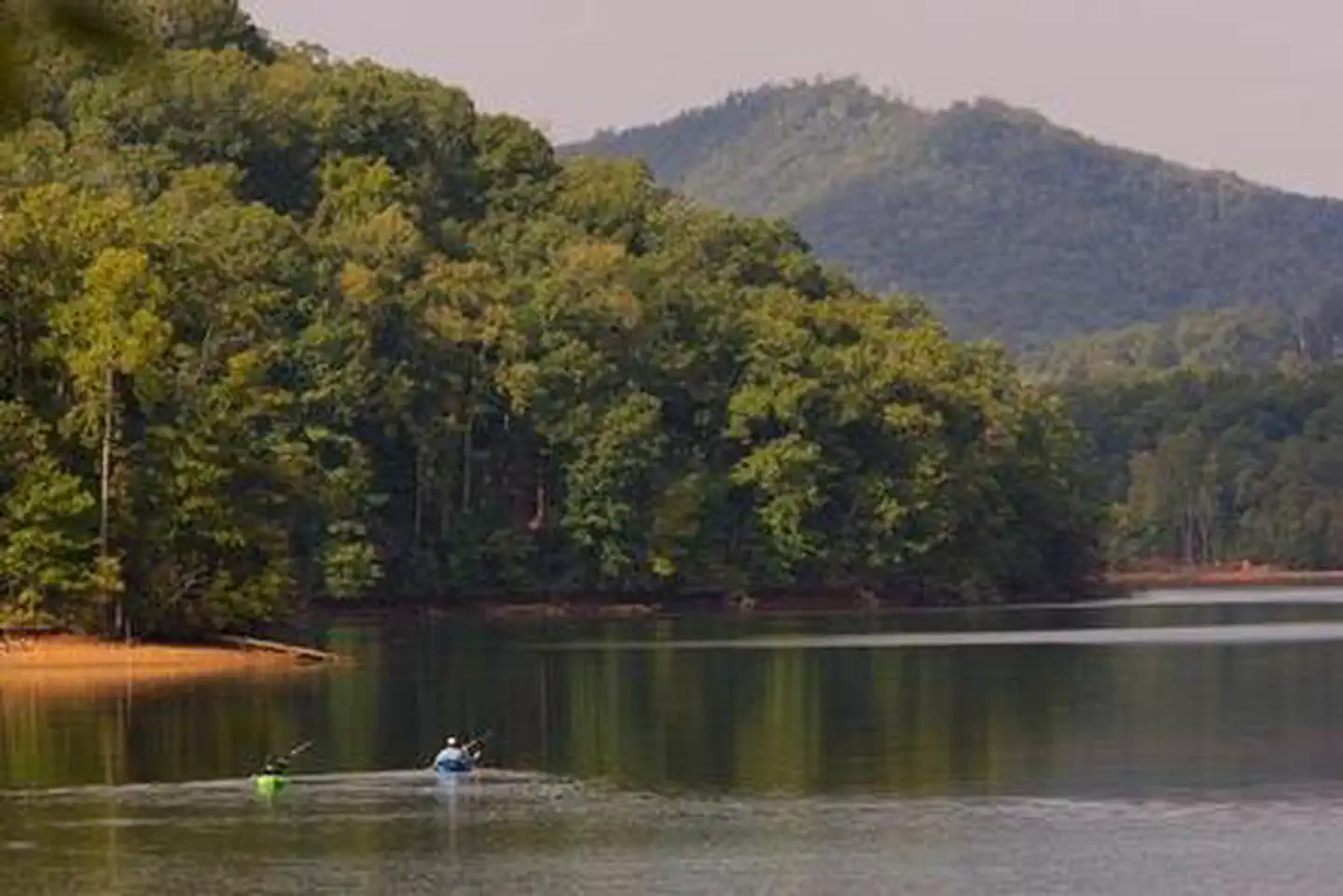 Jackrabbit MountainLake fishing3.9 mi
 Jackrabbit Mountain CampgroundCampingPhoto: Miles Buddy, CC BY-SA 3.0 (via Wikimedia Commons)4 mi
- Miller TrekHikingPhoto: Clevergrrl, CC BY-SA 2.0 (via Flickr)~5 min drive
- Saba BeachHikingPhoto: alex_ford, CC BY 2.0 (via Flickr)~5 min drive
- Burrell CoveHikingPhoto: w_lemay, Public Domain Dedication (CC0) (via Flickr)~6 min drive
- Jackrabbit Mountain ConnectorHiking~7 min drive
- Rabbit RidgeHiking~7 min drive
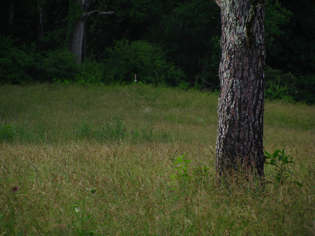 Church Cove ConnectorHikingPhoto: alex_ford, CC BY 2.0 (via Flickr)~6 min drive
- Yotee's RunHiking~6 min drive
- Wagon Train TrailHiking~10 min drive
- Central LoopHikingPhoto: alex_ford, CC BY 2.0 (via Flickr)~6 min drive
- Jackrabbit MountainHiking~7 min drive
Conditions and forecast
Caution todayAgency alerts are in effect for this areaUSFS · checked 2 min agoDaily highs and lows, wind and the chance of precipitation at Start for the next 7 days, from the Open-Meteo model.
Ask about this place
Questions about Lake Chatuge: conditions, access, timing. Answers say when something isn't known.
Local outfitters
Not on Roamze yet. Their page has how to reach them.
