Willow Spring
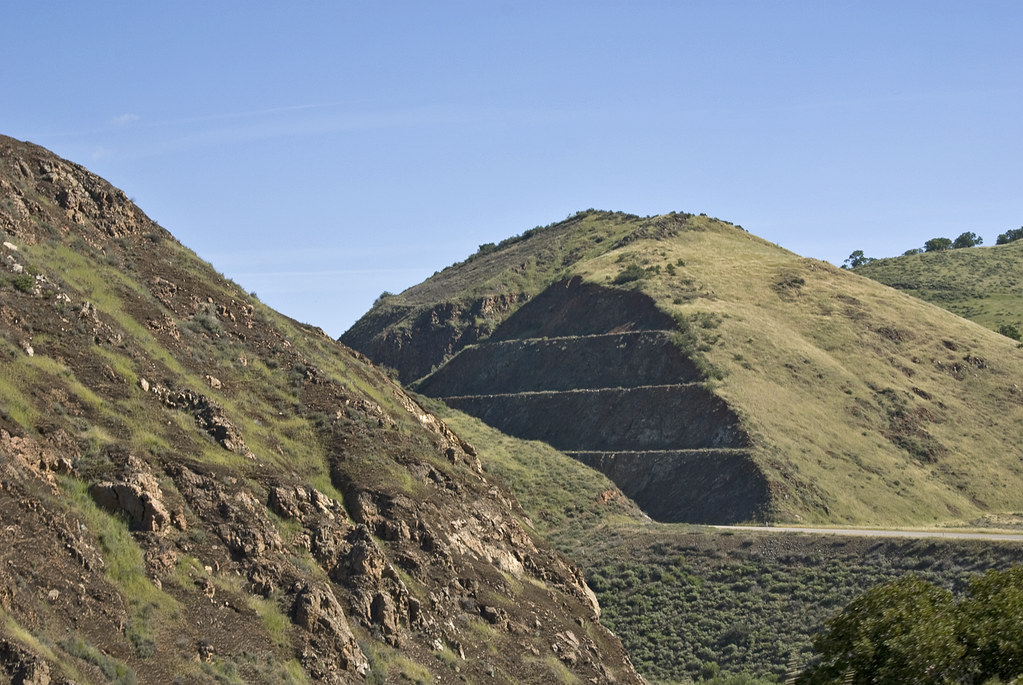 Photo: Damian Gadal, CC BY 2.0 (via Flickr)
At a glance
Willow Spring is a hard hike in the Santa Lucia Ranger District of Los Padres National Forest in California, managed by the Forest Service. The route is an out-and-back of about 23 miles, with a total elevation gain of 2,892 feet, taking you from a low point of 1,352 feet to a high of 2,701 feet. Spring and fall are the most comfortable times to go. Typical averages from a nearby weather station at New Cuyama show May highs around 80°F and October highs around 78°F, while July and August average in the mid-90s. That station sits about 500 feet lower than the high point, so temperatures on the route run a bit cooler. The trail is natural-surface and allows both horses and bikes. It is open year-round, and the Adobe hike lies about 1.7 miles away. The Indian hike is about 4.3 miles off, and the Owl Tor and Big Rocks climbing areas are each about 5.1 miles away.
- round trip
- 23.1 mi
- climb
- 2,892 ft
- high point
- 2,701 ft
- route
- Out and back
- best months
- Oct–May
Where it is: Santa Lucia Ranger District · Los Padres National Forest
Near: Santa Maria
Best time to visit Willow Spring
Best months: October–May. Best months have typical highs of 55–85 °F, lows of 30 °F or warmer (32 °F where the station doesn't record snow), at most one snowy day and no more than 12 wet days.
Jan
61°
33°
6 wet
Feb
62°
34°
6 wet
Mar
66°
37°
5 wet
Apr
71°
40°
3 wet
May
80°
45°
2 wet
Jun
88°
51°
0 wet
Jul
95°
57°
0 wet
Aug
94°
56°
0 wet
Sep
89°
52°
1 wet
Oct
78°
43°
1 wet
Nov
68°
36°
3 wet
Dec
61°
32°
5 wet
Typical high / low (°F) and days with rain or snow, 1991–2020. Measured at New Cuyama Fire Stn, CA, 28.7 mi away at 2,160 ft. The station sits about 500 ft lower than this place, so expect it a little cooler here. This station doesn't record snowfall. Source: NOAA NCEI U.S. Climate Normals 1991–2020.
Been here? Tell people how it was.
 AdobeHikingPhoto: Damian Gadal, CC BY 2.0 (via Flickr)1.7 mi
- IndianHiking4.3 mi
- Owl TorRock climbing5.1 mi
- Big RocksRock climbing5.1 mi
- Hwy 166/Silly RockRock climbing5.2 mi
- Alamo CreekCanoeing5.2 mi
- Mr. Lees Greater Hong KongRock climbing5.2 mi
 GiffordHikingPhoto: Damian Gadal, CC BY 2.0 (via Wikimedia Commons)5.6 mi
- GiffordHikingPhoto: Damian Gadal, CC BY 2.0 (via Wikimedia Commons)~10 min drive
 Buckhorn RigdeHikingPhoto: Region 5 Photography, Public Domain Mark (via Flickr)~15 min drive
 Painted Rock TrailHikingPhoto: RuggyBearLA, CC BY-SA 2.0 (via Flickr)~31 min drive
- Trout Creek TrailHiking~22 min drive
- AdobeHikingPhoto: Damian Gadal, CC BY 2.0 (via Flickr)~3 min drive
- White ElephantHiking~15 min drive
- Deer Mine TrailHiking~13 min drive
- IndianHiking~7 min drive
- AlejandroHiking~21 min drive
- Sparks TrailHiking~18 min drive
Conditions and forecast
Daily highs and lows, wind and the chance of precipitation at Start for the next 7 days, from the Open-Meteo model.
Ask about this place
Questions about Willow Spring: conditions, access, timing. Answers say when something isn't known.
