Sparks Trail
- 2.1 mi
- round trip
- 297 ft
- climb
- 771 ft
- high point
- Out and back
- route
- Jan–Dec
- best months
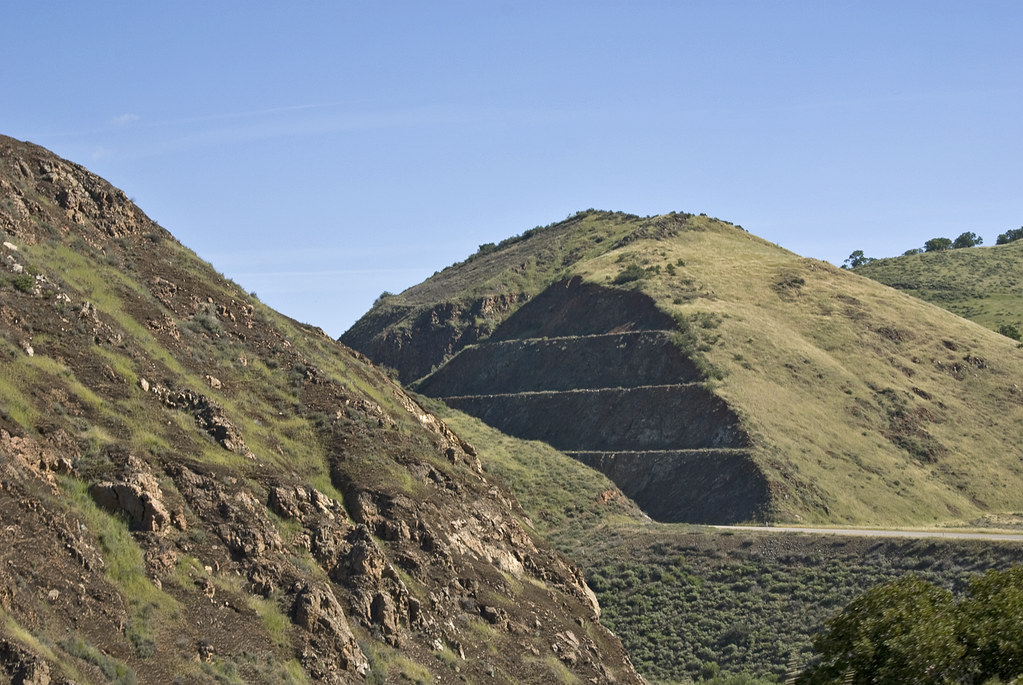
Sparks Trail is an easy out-and-back hike of about 4 miles in California, with a total elevation gain of roughly 300 feet. The route is back-loaded, meaning the steepest part comes near the start, at about 5% grade, and the high point of 771 feet sits about halfway up. The nearest town is Huasna, about 2.7 miles away. Summer is the most comfortable time to go. Typical averages from the Twitchell Dam weather station, about 8.6 miles away, show July and August highs around 77 to 78°F with almost no wet days, while winter brings highs in the low 60s and eight wet days a month. The trip takes about 1.5 hours. For more time on foot, Deer Mine Trail is about 3 miles away, and Alamo Creek, a canoeing spot, is about 7 miles off.
- Deer Mine TrailHiking3 mi
- Alamo CreekCanoeing6.9 mi
- Horse Trail SpurHiking7.9 mi
- CALDWELL - TROUT CREEKHiking8.1 mi
- Turkey Ridge TrailHiking8.3 mi
- Connector TrailHiking8.3 mi
- Cougar TrailHiking8.3 mi
- Blackberry Springs TrailHiking8.3 mi
Source: Roamze catalog (indexable pages within 10 miles, PostGIS distance)
 Willow SpringHiking · ~18 min drivePhoto: Damian Gadal, CC BY 2.0 (via Flickr)
 Picacho Summit TrailHiking · ~19 min drivePhoto: gamillos, CC BY-SA 2.0 (via Flickr)
 AdobeHiking · ~20 min drivePhoto: Damian Gadal, CC BY 2.0 (via Flickr)
- Trout Creek TrailHiking · ~15 min drive
- Sellers PotreroHiking · ~15 min drive
- Deer Mine TrailHiking · ~5 min drive
- Turkey Ridge TrailHiking · ~14 min drive
- McNeil Truck TrailHiking · ~23 min drive
- Dune Vista Loop TrailHiking · ~16 min drive
- Horse Trail SpurHiking · ~14 min drive
Best time to visit Sparks Trail
Best months: Year-round. Best months have typical highs of 55–85 °F, lows of 30 °F or warmer (32 °F where the station doesn't record snow), at most one snowy day and no more than 12 wet days.
Jan
63° / 41°
8 wet
Feb
62° / 42°
8 wet
Mar
65° / 44°
8 wet
Apr
68° / 45°
5 wet
May
70° / 48°
2 wet
Jun
75° / 50°
1 wet
Jul
77° / 53°
0 wet
Aug
78° / 54°
1 wet
Sep
78° / 52°
1 wet
Oct
75° / 49°
3 wet
Nov
68° / 44°
5 wet
Dec
61° / 39°
8 wet
Typical high / low (°F) and days with rain or snow, 1991–2020. Measured at Twitchell Dam, CA, 8.6 mi away at 582 ft. Source: NOAA NCEI U.S. Climate Normals 1991–2020.
Map and trail data © OpenStreetMap contributors
