Lostfork Basecamp
Campground
3.3 mi from the trail
Ben Tyler is a hard hike in the Lost Creek Wilderness, part of the South Platte Ranger District of the Pike and San Isabel National Forests in Colorado. The trail is an out-and-back, about 21.8 miles long with an elevation gain of about 4,046 feet. It runs on natural surface, and the Forest Service allows horses but not bikes. The route starts at about 8,262 feet and climbs to about 11,664 feet, so plan for a long day in the high country. The closest neighbors include the North Fork South Platte River, about 3.6 miles away, and the Brookside Ag hike at about 4.5 miles. Kenosha Pass Campground sits about 5.9 miles off, and the Colorado Trail's Segment 5, a mountain biking route, is about 4.9 miles away.
Where it is: Lost Creek Wilderness · South Platte Ranger District
Near: Breckenridge
Been here? Tell people how it was.
 North Fork South Platte RiverCanoeingPhoto: Jeffrey Beall, CC BY 3.0 (via Wikimedia Commons)3.6 mi
 Kenosha Pass CampgroundCampingPhoto: Recreation.gov (RIDB) / public domain5.9 mi
 Geneva CreekHikingPhoto: jaygannett, CC BY-SA 2.0 (via Flickr)~9 min driveWhitesideHikingPhoto: jaygannett, CC BY-SA 2.0 (via Flickr)~9 min drive
 Mount Blue Sky RidgeHikingPhoto: gregor_y, CC BY-SA 2.0 (via Flickr)~22 min drive
 Epaulet MountainHikingPhoto: Tony Webster, CC BY 2.0 (via Flickr)~13 min driveTerminal Moraine Interp LoopHikingPhoto: Tony Webster, CC BY 2.0 (via Flickr)~13 min driveAbyss LakeHikingPhoto: Tony Webster, CC BY 2.0 (via Flickr)~13 min drive
 Sawtooth Ridge TraverseHikingPhoto: versute, CC BY-SA 3.0 (via Wikimedia Commons)~20 min drive
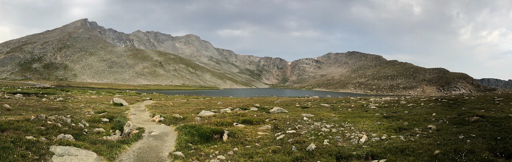 Mount Blue SkyHikingPhoto: regexman, CC BY 2.0 (via Flickr)~21 min drive
Daily highs and lows, wind and the chance of precipitation at Start for the next 7 days, from the Open-Meteo model.
Questions about Ben Tyler: conditions, access, timing. Answers say when something isn't known.
Lostfork Basecamp
Campground
 If it rainsUser:Magicpiano, CC BY-SA 4.0 · Wikimedia Commons
Historic house-museum in Georgetown, Colorado, United States
Places © OpenStreetMap contributors · Photos: User:Magicpiano, CC BY-SA 4.0 (commons)
More in Idaho Springs