South Fork Springs
At a glance
South Fork Springs is a 4.8-mile out-and-back hike in Idaho's Caribou-Targhee National Forest, within the Westside Ranger District. The trail rises from about 5,821 feet to about 6,422 feet, a climb of 325 feet one way, and is rated moderate. The Forest Service manages the land. The route is natural-surfaced and open to both horses and bikes. It is not an accessible trail. Summer is the most comfortable time to go. Typical averages from a nearby weather station in Downey, Idaho, run to highs around 78°F in June and 89°F in July, while winter highs stay near freezing. That station sits roughly 1,500 feet below the trail, so temperatures on the route run cooler. The hike is open year-round. Wursten Springs Cut-Off lies about 0.7 miles away, and North Wright Creek is about a mile off. Hawkins Reservoir Campground and Wright Creek, a paddling spot, are both within about 5.5 miles.
- round trip
- 4.8 mi
- climb
- 325 ft
- high point
- 6,422 ft
- route
- Out and back
- best months
- May–Jun, Sep
Where it is: Westside Ranger District · Caribou-Targhee National Forest
Near: Pocatello
Best time to visit South Fork Springs
Best months: May–June and September. Best months have typical highs of 55–85 °F, lows of 30 °F or warmer (32 °F where the station doesn't record snow), at most one snowy day and no more than 12 wet days.
Jan
32°
14°
Feb
37°
18°
Mar
48°
25°
Apr
58°
31°
May
67°
38°
Jun
78°
44°
Jul
89°
51°
Aug
88°
49°
Sep
77°
41°
Oct
62°
31°
Nov
46°
23°
Dec
34°
16°
Typical high / low (°F) and days with rain or snow, 1991–2020. Measured at Downey, ID, 9.6 mi away at 4,865 ft. The station sits about 1,600 ft lower than this place, so expect it a little cooler here. This station doesn't record snowfall. Source: NOAA NCEI U.S. Climate Normals 1991–2020.
Been here? Tell people how it was.
- Wursten Springs Cut-OffHiking0.7 mi
- North Wright CreekHiking1 mi
- Hawkins Reservoir CampgroundCamping5 mi
- Wright CreekCanoeing5.5 mi
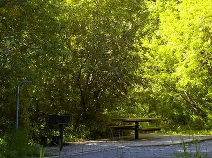 Malad Summit CampgroundCampingPhoto: Recreation.gov (RIDB) / public domain6.6 mi
 Garden Creek GapRock climbingPhoto: JF Hobbs, CC BY 3.0 (via Wikimedia Commons)9.1 mi
- East GullyRock climbingPhoto: JF Hobbs, CC BY 3.0 (via Wikimedia Commons)9.2 mi
- Marsh CreekCanoeing9.6 mi
 Cherry Creek-Curly JackHikingPhoto: makhtuz, CC BY 3.0 (via Wikimedia Commons)~19 min drive
- Wursten Springs Cut-OffHiking~1 min drive
- North Wright CreekHiking~2 min drive
- WRIGHT CREEK NAT. RECREATION THiking~11 min drive
- Lower PotterHiking~4 min drive
- EAST FORK OF WRIGHT CREEKHiking~1 min drive
- REED CANYON CONNECTORHiking~7 min drive
- BIG CREEK TO POTTER CREEKHiking~5 min drive
- North PotterHiking~4 min drive
- North Rowley CanyonHiking~8 min drive
Conditions and forecast
Caution todayAgency alerts are in effect for this areaUSFS · checked 5 min agoDaily highs and lows, wind and the chance of precipitation at Start for the next 7 days, from the Open-Meteo model.
Ask about this place
Questions about South Fork Springs: conditions, access, timing. Answers say when something isn't known.
