
Fourmile Campground
Campground
< 0.1 mi from the trail
 Photo: Ben Mason, CC BY 2.0 (via Flickr)
Limber Grove is a moderate out-and-back hike of about 3.1 miles on the Forest Service trail network in the South Park Ranger District of the Pike and San Isabel National Forests in Colorado. The trail climbs from about 10,561 feet to about 10,918 feet, with an elevation gain of 192 feet one way, and it is open year-round. The trailhead, also called Limber Grove Trailhead, sits close to Fourmile Campground, which lies just 0.1 mile away. The route is natural-surfaced and allows both horses and bikes, so riders and pack animals can join the walk. Summer is the most comfortable time to go. Typical averages from a nearby weather station show July highs around 71°F and lows near 42°F, while winter highs stay around 31°F. That station sits roughly 900 feet below the trail's high point, so temperatures on the route run somewhat cooler. Horseshoe Campground is about a mile away, and the Ore Wagon hike starts about 1.7 miles off. Farther out, the Tie Hack cross-country ski trail is about 2.8 miles away, and the Finback Crags climbing area is about 4.9 miles away.
Where it is: South Park Ranger District · Pike and San Isabel National Forests
Near: Leadville
Late May to early October is usually best for hiking here.
Typical highs of 56–71°F and lows of 30°F or warmer in those weeks.
Typical weather: NOAA 1991–2020 normals at Fairplay S Park Rd, CO, 6 mi away. Not a forecast.
Typical weather by monthBest months: June–September. Best months are the ones mostly made of the best weeks for hiking: typical temperatures in its comfortable range, few snowy days and not usually wet, judged with the same limits as our good-day forecasts.
Jan
31°
10°
Feb
31°
9°
Mar
38°
16°
Apr
45°
22°
May
55°
29°
Jun
66°
37°
Jul
71°
42°
Aug
68°
41°
Sep
62°
35°
Oct
51°
26°
Nov
39°
17°
Dec
31°
10°
Typical high / low (°F) and days with rain or snow, 1991–2020. Measured at Fairplay S Park Rd, CO, 5.8 mi away at 9,995 ft. The station sits about 900 ft lower than this place, so expect it a little cooler here. This station doesn't record snowfall. Source: NOAA NCEI U.S. Climate Normals 1991–2020.
Been here? Tell people how it was.
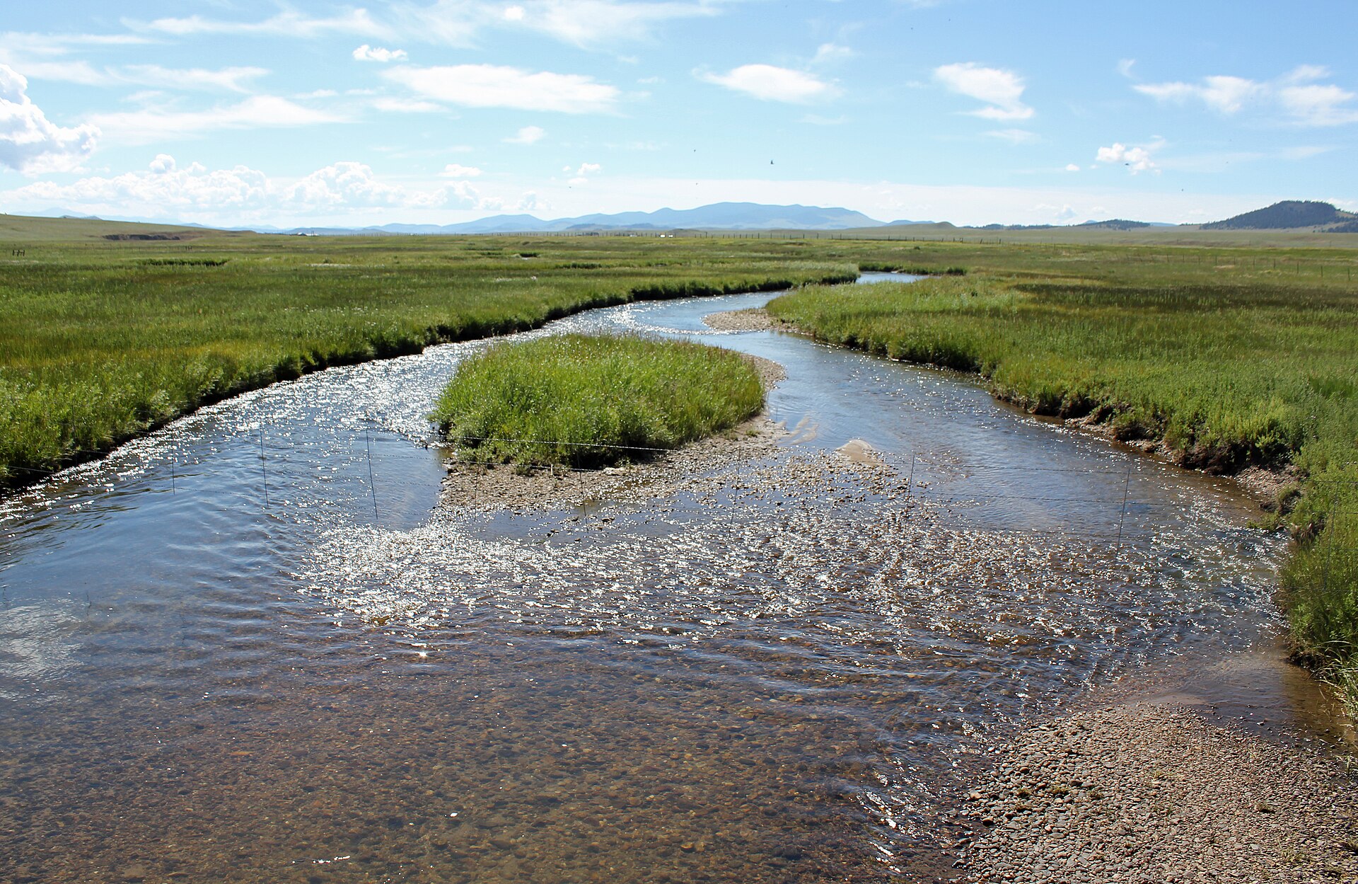 Middle Fork South Platte RiverCanoeingPhoto: Jeffrey Beall, CC BY 3.0 (via Wikimedia Commons)6.6 mi
 Pennsylvania Mountain TrailHikingPhoto: Thomas Elliott from Alma, USA, CC0 (via Wikimedia Commons)~5 min drive
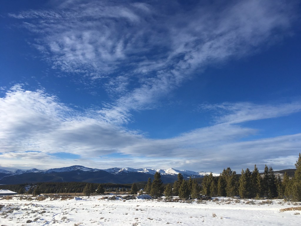 Dyer MountainHikingPhoto: christinejwarner, CC BY 2.0 (via Flickr)~8 min drive
 Beaver CreekHikingPhoto: ikewinski, CC BY 2.0 (via Flickr)~10 min driveWest Dyer MountainHikingPhoto: christinejwarner, CC BY 2.0 (via Flickr)~18 min drive
 Mount Sherman from Iowa GulchHikingPhoto: foto3116, CC BY 2.0 (via Flickr)~7 min drive
 Pennsylvania MountainHikingPhoto: QKC, CC BY-SA 3.0 (via Wikimedia Commons)~5 min drive
 Mt Lincoln TrailHikingPhoto: jl_2, CC BY-SA 2.0 (via Flickr)~15 min drive
 Mount EvansHikingPhoto: QKC, CC BY-SA 3.0 (via Wikimedia Commons)~12 min drive
 Mount LincolnHikingPhoto: jl_2, CC BY-SA 2.0 (via Flickr)~14 min driveCrooked BeaverHikingPhoto: ikewinski, CC BY 2.0 (via Flickr)~11 min drive
Daily highs and lows, wind and the chance of precipitation at Start for the next 7 days, from the Open-Meteo model.
Questions about Limber Grove: conditions, access, timing. Answers say when something isn't known.
Fourmile Campground
Campground
 If it rainsPlazak, CC BY 3.0 · Wikimedia Commons
Matchless Mine
Attraction
Places © OpenStreetMap contributors · Photos: Plazak, CC BY 3.0 (commons)
More in Leadville