Jones Pass Guides
Skiing business nearby (~44 mi away) — hasn't claimed their Roamze page yet
Free — you'll pick up right here.
Watch this route
Sign up to watch it — saving subscribes you to gate, closure and report changes.
Colorado
8.9 mi
Distance
536 ft
Gain
We won't guess. Here is exactly what we do and don't know.
What we do know
Inside Pike and San Isabel National Forests
2 managing-area boundaries mapped — agency alerts for them feed this page automatically.
Boundary data
In the CAIC zone forecast zone
Avalanche danger ratings feed from avalanche.org when the center is forecasting.
Avalanche.org
What's missing
No access route mapped
We don't yet know which road reaches this trailhead, so we can't tell you if it's gated.
Nobody's filed a report here yet — be the first.
Tie Hack
AI-suggested draft · review before you go
Tie Hack is an 8.92-mile cross-country ski trail in Colorado managed by Pike and San Isabel National Forests. The route gains 536 feet of elevation.
 Photo: Famartin, CC BY-SA 4.0 (via Wikimedia Commons)
Mineral Belt Trail
~22 min drive
Mineral Belt Trail is a 0.81-mile route in Colorado with 98 ft of elevation gain.
 Photo: Sean Bartell, CC BY-SA 4.0 (via Wikimedia Commons)
Boreas Pass Road
~27 min drive
6.35-mile mountain pass road ski tour in Colorado's high country.
 Photo: Bruce Fingerhood from Springfield, Oregon, US, CC BY 2.0 (via Wikimedia Commons)
Griz
~29 min drive
Griz is a 0.83-mile trail in Colorado with 26 ft of elevation gain.
Photo: Bruce Fingerhood from Springfield, Oregon, US, CC BY 2.0 (via Wikimedia Commons)Willa'S Way
~29 min drive
0.86-mile trail in Colorado with 89 ft of elevation gain.
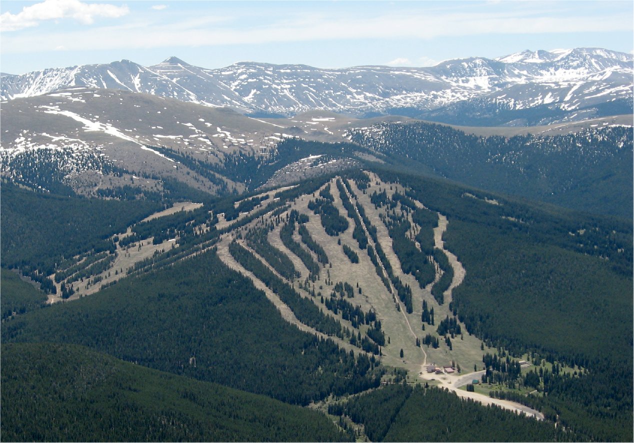 Photo: The original uploader was Sculptorjones at English Wikipedia., Public domain (via Wikimedia Commons)
Ski Cooper
~29 min drive
Ski Cooper in Colorado has 5 lifts and 47 runs (12 easy, 16 intermediate, 18 advanced) with 1,161 ft of vertical.
 Photo: QKC, CC BY-SA 3.0 (via Wikimedia Commons)
Mount Baldy Road
~33 min drive
Moderate 2.74-mile road-based ski tour in Colorado with steady climbing.
Photo: Famartin, CC BY-SA 4.0 (via Wikimedia Commons)Swoop
~22 min drive
0.57-mile short ski trail in Colorado with 9 feet of elevation gain.
 Photo: Jeffrey Beall, CC BY 4.0 (via Wikimedia Commons)
Cooper
~29 min drive
Cooper is a 0.24-mile ski trail in Colorado with 10 feet of elevation gain.
Photo: Bruce Fingerhood from Springfield, Oregon, US, CC BY 2.0 (via Wikimedia Commons)Lung Burn
~30 min drive
0.49-mile trail in Colorado with 186 ft of elevation gain.
Photo: Bruce Fingerhood from Springfield, Oregon, US, CC BY 2.0 (via Wikimedia Commons)Larry'S Loop
~30 min drive
Larry'S Loop is a short 0.86-mile loop in Colorado with 256 feet of elevation gain.
Also worth it near here
Horseshoe Campground
~3 min drive
Escapist Boulder, The
~9 min drive
 Photo: Thomas Elliott from Alma, USA, CC0 (via Wikimedia Commons)
Pennsylvania Mountain Trail
~9 min drive
 Photo: Stargazer7121, Public domain (via Wikimedia Commons)
Mount Sherman
~11 min drive
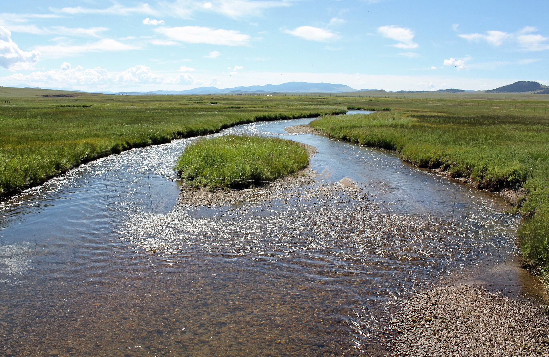 Photo: Jeffrey Beall, CC BY 3.0 (via Wikimedia Commons)
Middle Fork South Platte River
~13 min drive
Local operatorsoffering guided trips. You book directly with them — Roamze doesn’t take a cut.
Jones Pass Guides
Skiing business nearby (~44 mi away) — hasn't claimed their Roamze page yet
