Bell
 Photo: Coconino NF Photography, Public Domain Dedication (CC0) (via Flickr)
At a glance
Bell is a hard hike of about 15.5 miles in the Wet Beaver Wilderness, part of the Red Rock Ranger District of Coconino National Forest in Arizona. The Forest Service manages the land, and the trail is a natural-surface out-and-back that climbs from about 3,870 feet to about 5,781 feet. Spring and fall are the most comfortable times to go. Typical averages from a nearby weather station at Mund's Park show May highs around 69°F and October highs around 66°F, while July averages about 83°F and August brings the most wet days of the year. Wet Beaver Crack, a climbing area, sits less than a mile away, and Wet Beaver Creek offers canoeing about 1.2 miles off. The Apache Maid hike is about 1.7 miles away, and the Weir mountain biking route is about 1.4 miles away.
- round trip
- 15.5 mi
- climb
- 1,724 ft
- high point
- 5,781 ft
- route
- Out and back
- time
- About 6 hours
- best months
- May–Jul, Sep
Where it is: Wet Beaver Wilderness · Red Rock Ranger District
Near: Camp Verde
Best time to visit Bell
Best months: May–July and September. Best months have typical highs of 55–85 °F, lows of 30 °F or warmer (32 °F where the station doesn't record snow), at most one snowy day and no more than 12 wet days.
Jan
46°
17°
7 wet
Feb
47°
19°
7 wet
Mar
53°
23°
7 wet
Apr
60°
27°
4 wet
May
69°
34°
3 wet
Jun
79°
40°
3 wet
Jul
83°
49°
9 wet
Aug
81°
50°
13 wet
Sep
76°
41°
8 wet
Oct
66°
31°
5 wet
Nov
54°
22°
5 wet
Dec
46°
16°
7 wet
Typical high / low (°F) and days with rain or snow, 1991–2020. Measured at Mund'S Park, AZ, 18.5 mi away at 6,470 ft. The station sits about 700 ft higher than this place, so expect it a little warmer here. This station doesn't record snowfall. Source: NOAA NCEI U.S. Climate Normals 1991–2020.
Been here? Tell people how it was.
 Wet Beaver CrackRock climbingPhoto: Coconino National Forest, CC0 (via Wikimedia Commons)0.8 mi
- Wet Beaver CreekCanoeing1.2 mi
 WeirMountain bikingPhoto: Coconino National Forest, CC0 (via Wikimedia Commons)1.4 mi
 Bell Trail #13Mountain bikingPhoto: Coconino National Forest, CC0 (via Wikimedia Commons)1.5 mi
 Apache Maid SpurHikingPhoto: Coconino NF Photography, Public Domain Dedication (CC0) (via Flickr)1.6 mi
 Apache MaidHikingPhoto: Coconino NF Photography, Public Domain Dedication (CC0) (via Flickr)1.7 mi
- Dry Beaver CreekCanoeing8.3 mi
- West Clear CreekCanoeing8.8 mi
- Apache Maid SpurHikingPhoto: Coconino NF Photography, Public Domain Dedication (CC0) (via Flickr)~3 min drive
- Apache MaidHikingPhoto: Coconino NF Photography, Public Domain Dedication (CC0) (via Flickr)~3 min drive
 Elmore WashHikingPhoto: Tony Webster, CC BY 2.0 (via Flickr)~10 min drive
- Sacred MountainHiking~6 min drive
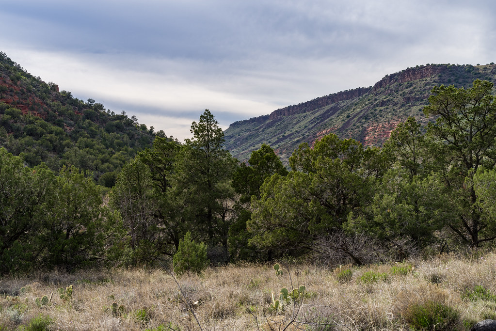 WeirHikingPhoto: Coconino NF Photography, Public Domain Dedication (CC0) (via Flickr)~3 min drive
 Long CanyonHikingPhoto: Coconino NF Photography, Public Domain Dedication (CC0) (via Flickr)~6 min drive
 Woods Canyon #93HikingPhoto: cafuego, CC BY-SA 2.0 (via Flickr)~15 min drive
 White MesaHikingPhoto: Coconino NF Photography, Public Domain Dedication (CC0) (via Flickr)~4 min drive
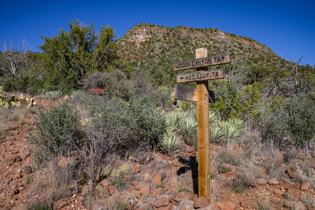 Hot Loop #40HikingPhoto: Coconino NF Photography, Public Domain Dedication (CC0) (via Flickr)~14 min drive
 Kel FoxHikingPhoto: Mary P Madigan, CC BY 2.0 (via Flickr)~16 min drive
Conditions and forecast
Caution todayAgency alerts are in effect for this areaUSFS · checked 5 min agoDaily highs and lows, wind and the chance of precipitation at Start for the next 7 days, from the Open-Meteo model.
Ask about this place
Questions about Bell: conditions, access, timing. Answers say when something isn't known.
Local outfitters
- Camp Avalon Spiritual Nature Retreat14 mi away
- Rancho Sedona RV Park15 mi away
Not on Roamze yet. Their page has how to reach them.
