Coon Creek
At a glance
Coon Creek is a hard out-and-back hike in the Humboldt-Toiyabe National Forest's Mountain City-Ruby Mountains-Jarbidge Ranger District in northeastern Nevada. The trail stretches about 8 miles, climbing roughly 2,000 feet from a low point of about 6,500 feet to a high of about 8,450 feet, and is managed by the Forest Service. Bikes are allowed on this natural-surface route, and it is open year-round, so you can plan a trip for any season. The climb is steep, and the elevation gain makes this a serious outing. Several other trails sit close by. Copper Mountain is under a mile away, and Danger Trail is about 0.9 miles off. Pine Creek is about 1.6 miles away, and Pine Creek Campground is about 4.3 miles away for those who want to camp.
- round trip
- 8.2 mi
- climb
- 2,045 ft
- high point
- 8,448 ft
- route
- Out and back
- time
- About 4 hours
Where it is: Mountain City-Ruby Mountains-Jarbidge Ranger District · Humboldt-Toiyabe National Forest
Near: Jackpot
Been here? Tell people how it was.
- Copper MountainHiking0.8 mi
- Danger TrailHiking0.9 mi
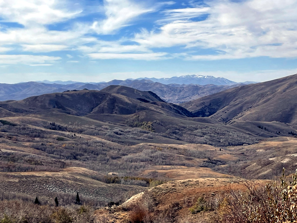 Pine CreekHikingPhoto: simonov, CC BY-SA 2.0 (via Flickr)1.6 mi
- Pine Creek CampgroundCamping4.3 mi
- Lower Bluster CampgroundCamping4.6 mi
- Upper Bluster CampgroundCamping4.7 mi
- Jarbidge RiverRiver fishing5.7 mi
 Bruneau RiverCanoeingPhoto: BLM, Public domain (via Wikimedia Commons)7.5 mi
- Pine CreekHikingPhoto: simonov, CC BY-SA 2.0 (via Flickr)~3 min drive
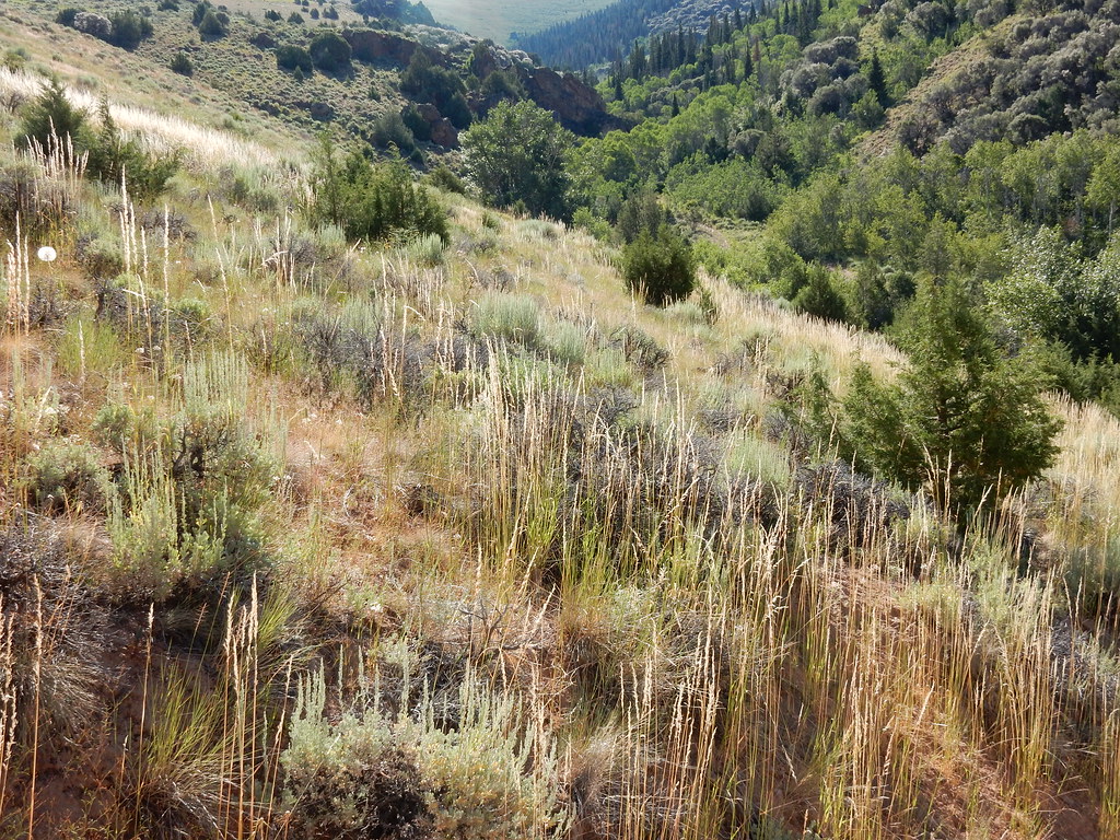 Jenny CreekHikingPhoto: Matt Lavin, CC BY-SA 2.0 (via Flickr)~12 min drive
 Jenny CreekHikingPhoto: Matt Lavin, CC BY-SA 2.0 (via Flickr)~12 min drive
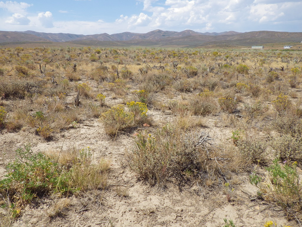 PersonHikingPhoto: Matt Lavin, CC BY-SA 2.0 (via Flickr)~20 min drive
 West Marys River to Camp DrawHikingPhoto: simonov, CC BY-SA 2.0 (via Flickr)~7 min drive
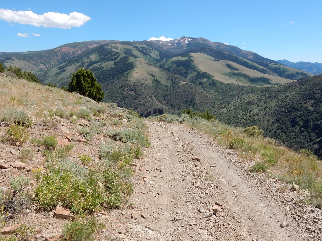 Clover TrailHikingPhoto: Matt Lavin, CC BY-SA 2.0 (via Flickr)~15 min drive
- West Marys River - Camp Draw TrailHiking~11 min drive
- 76 CreekHiking~9 min drive
- JennyHikingPhoto: Matt Lavin, CC BY-SA 2.0 (via Flickr)~14 min drive
 Altitude TrailHikingPhoto: Matt Lavin, CC BY-SA 2.0 (via Flickr)~15 min drive
Conditions and forecast
Caution todayAgency alerts are in effect for this areaUSFS · checked 10 h agoDaily highs and lows, wind and the chance of precipitation at Start for the next 7 days, from the Open-Meteo model.

Ask about this place
Questions about Coon Creek: conditions, access, timing. Answers say when something isn't known.
