Mccurdy Park
At a glance
McCurdy Park is a 14.5-mile out-and-back hike in Colorado's Lost Creek Wilderness, within the South Platte Ranger District of the Pike and San Isabel National Forests. The trail climbs from about 8,862 feet to about 10,892 feet, a total gain of 2,305 feet, and is rated hard. The route is on natural surface, and horses are allowed. Bikes are not. The Forest Service manages the land, and the trail is open year-round. Nearby, the Lost Creek paddling route is about 2 miles away, and the Brookside-McCurdy hike is about 2.7 miles off. Climbers can head to Wigwam Creek/Lost Creek Wilderness, about 2.8 miles away, and Twin Eagles Campground is about 4.8 miles away.
- round trip
- 14.5 mi
- climb
- 2,305 ft
- high point
- 10,892 ft
- route
- Out and back
Where it is: Lost Creek Wilderness · South Platte Ranger District
Near: Woodland Park
Been here? Tell people how it was.
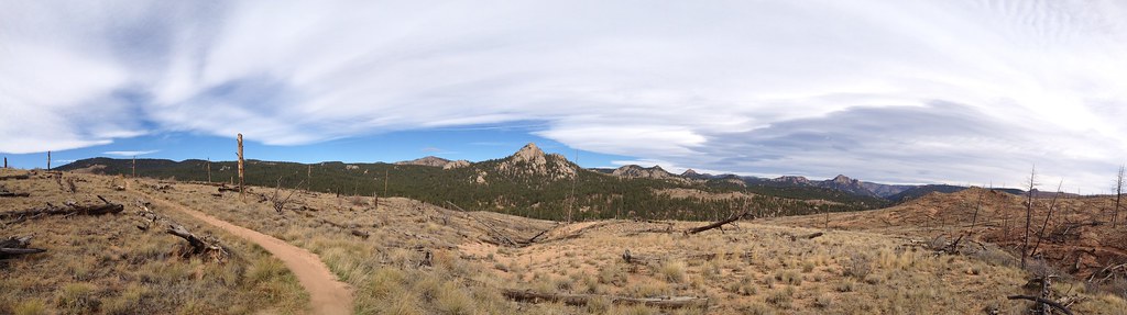 BaldyHikingPhoto: rb06, CC BY 2.0 (via Flickr)~21 min drive
- Morrison CreekHikingPhoto: rb06, CC BY 2.0 (via Flickr)~21 min drive
- Brookside-MccurdyHiking~5 min drive
- TramwayHikingPhoto: rb06, CC BY 2.0 (via Flickr)~20 min drive
- Forest Trail 204Hiking~12 min drive
- Goose CreekHiking~8 min drive
- Lizard Rock TrailHiking~7 min drive
- MouacheHiking~18 min drive
- WigwamHiking~9 min drive
- Forest Trail 736Hiking~20 min drive
Conditions and forecast
Caution todayAgency alerts are in effect for this areaUSFS · checked 12 min agoDaily highs and lows, wind and the chance of precipitation at Start for the next 7 days, from the Open-Meteo model.

Ask about this place
Questions about Mccurdy Park: conditions, access, timing. Answers say when something isn't known.
Go with a guide
- Mineral Belt Trail Guided WalkNexPM AI · $25 per person · 45 mi away
- Lostfork Basecamp20 mi away
