Forest Trail 204
- 1.1 mi
- round trip
- 670 ft
- climb
- 9,118 ft
- high point
- Out and back
- route
- Jun–Sep
- best months
Is Forest Trail 204 open right now?
Alert in the area
The Forest Service lists 8 alerts for Pike and San Isabel National Forests.
FSR 286, Radical Hill, is closed due to washouts and unsafe conditions
Agency alert covering Pike and San Isabel National Forests · USFS · Pike and San Isabel National Forests
Interlaken Hotel Tree Hazards
Agency alert covering Pike and San Isabel National Forests · USFS · Pike and San Isabel National Forests
National Forest Service Road 8 closure
Agency alert covering South Park Ranger District · Order 02-12-10-26-13 · USFS · South Park Ranger District
Sharpe Fire Update
Agency alert covering Pike and San Isabel National Forests · USFS · Pike and San Isabel National Forests
Turquoise Lake Road (County Road 4) Closure
Agency alert covering Pike and San Isabel National Forests · USFS · Pike and San Isabel National Forests
As of · Source: USFS · Pike and San Isabel National Forests. Agencies don't list every closure — check before you go.
Forest Trail 204 is a short, easy hike in the South Park Ranger District of the Pike and San Isabel National Forests in Colorado, managed by the Forest Service. The trail is about 1.1 miles long, and the round trip adds up to roughly 2.2 miles with a total elevation gain of about 670 feet. The climb is front-loaded, with the steepest stretch at about 0.34 miles from the start, where the grade reaches about 23%. The trail begins at about 8,684 feet and peaks at about 9,118 feet before returning to the starting point. Summer is the most comfortable time to go. Typical averages from a nearby weather station at a similar elevation show July highs around 74°F with lows near 47°F, while winter highs stay in the low 30s. Spruce Grove Campground is about 1.2 miles away, and the Lizard Rock hike is about 1.3 miles off. Climbers can head to Globe, The, about 1.8 miles away, or Tarryall, about 2.1 miles away.
Go with a guide
- Mineral Belt Trail Guided WalkNexPM AI · $25 per person · 46 mi away
- Lostfork Basecamp26 mi away
- Spruce Grove CampgroundCamping1.2 mi
- Lizard RockHiking1.3 mi
- The GlobeRock climbing1.8 mi
- TarryallRock climbing2.1 mi
- Feral PetuniaRock climbing2.4 mi
- Twin Eagles CampgroundCamping2.6 mi
- Lizard Rock TrailHiking3.1 mi
- Lost CreekCanoeing8.9 mi
Source: Roamze catalog (indexable pages within 10 miles, PostGIS distance)
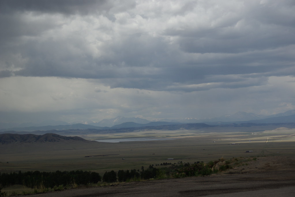 Puma PointHiking · ~11 min drivePhoto: bgautrea, CC BY-SA 2.0 (via Flickr)
- Lizard Rock TrailHiking · ~5 min drive
- Brookside-MccurdyHiking · ~7 min drive
- Signal ButteHiking · ~23 min drive
 HardrockHiking · ~21 min drivePhoto: Ken Brazier (Ken g6), CC BY-SA 3.0 (via Wikimedia Commons)
- Lake Park TrailHiking · ~6 min drive
- Goose CreekHiking · ~10 min drive
 OverlookHiking · ~25 min drivePhoto: waterarchives, CC BY-SA 2.0 (via Flickr)
- Platte River TrailHiking · ~13 min drive
- Platte SpringsHiking · ~12 min drive
Best time to visit Forest Trail 204
Best months: June–September. Best months have typical highs of 55–85 °F, lows of 30 °F or warmer (32 °F where the station doesn't record snow), at most one snowy day and no more than 12 wet days.
Jan
33° / 9°
Feb
34° / 11°
Mar
41° / 17°
Apr
47° / 23°
May
57° / 31°
Jun
69° / 41°
Jul
74° / 47°
Aug
71° / 45°
Sep
65° / 38°
Oct
54° / 27°
Nov
42° / 18°
Dec
33° / 12°
Typical high / low (°F) and days with rain or snow, 1991–2020. Measured at Divide 4nw, CO, 17 mi away at 9,134 ft. This station doesn't record snowfall. Source: NOAA NCEI U.S. Climate Normals 1991–2020.

Map and trail data © OpenStreetMap contributors
