Lake Park Trail
- 9.0 mi
- round trip
- 1,503 ft
- climb
- 11,557 ft
- high point
- Out and back
- route
Is Lake Park Trail open right now?
Alert in the area
The Forest Service lists 8 alerts for Pike and San Isabel National Forests.
FSR 286, Radical Hill, is closed due to washouts and unsafe conditions
Agency alert covering Pike and San Isabel National Forests · USFS · Pike and San Isabel National Forests
Interlaken Hotel Tree Hazards
Agency alert covering Pike and San Isabel National Forests · USFS · Pike and San Isabel National Forests
Sharpe Fire Update
Agency alert covering Pike and San Isabel National Forests · USFS · Pike and San Isabel National Forests
Turquoise Lake Road (County Road 4) Closure
Agency alert covering Pike and San Isabel National Forests · USFS · Pike and San Isabel National Forests
Downed and weakened trees on South Platte Ranger District
Agency alert covering South Platte Ranger District · USFS · South Platte Ranger District
As of · Source: USFS · Pike and San Isabel National Forests. Agencies don't list every closure — check before you go.
Lake Park Trail is a 4.5-mile out-and-back trail located in Colorado, managed by the U.S. Forest Service. The route offers hikers a straightforward out-and-back experience, making it accessible for planning purposes since you know the exact distance to your turnaround point. This trail provides an opportunity to explore forest service lands in Colorado's diverse terrain. The out-and-back format means you'll retrace your steps on the return journey, allowing you to enjoy the same scenery from a different perspective. As with most trails in the region managed by the U.S. Forest Service, the path is maintained as part of the national forest system. Before heading out, check with the U.S. Forest Service for current conditions, seasonal closures, and any permits that may be required. Weather in Colorado can change rapidly at higher elevations, so come prepared with appropriate gear and plenty of water. The 4.5-mile distance makes this a moderate day hike suitable for various fitness levels, though actual difficulty depends on terrain and elevation changes along the route.
Go with a guide
- Mineral Belt Trail Guided WalkRoamze · $25 per person · 46 mi away
- Lostfork Basecamp24 mi away
- Lizard Rock TrailHiking1.1 mi
- Brookside-MccurdyHiking1.3 mi
- TarryallRock climbing1.4 mi
- The GlobeRock climbing1.7 mi
- Spruce Grove CampgroundCamping2.5 mi
- Twin Eagles CampgroundCamping2.5 mi
- Lost CreekCanoeing5.8 mi
- South Platte RiverRiver fishing9.3 mi
Source: Roamze catalog (indexable pages within 10 miles, PostGIS distance)
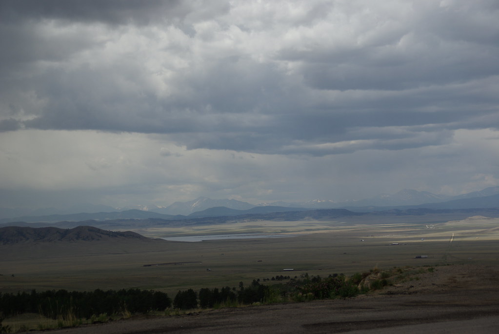 Puma PointHiking · ~17 min drivePhoto: bgautrea, CC BY-SA 2.0 (via Flickr)
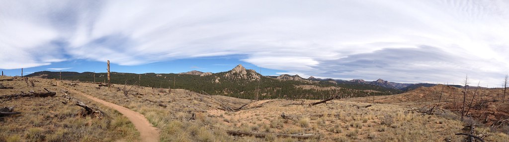 TramwayHiking · ~25 min drivePhoto: rb06, CC BY 2.0 (via Flickr)
- Brookside-MccurdyHiking · ~2 min drive
- Signal ButteHiking · ~24 min drive
- Signal Butte Multi Use Trail - 717Hiking · ~25 min drive
 HardrockHiking · ~25 min drivePhoto: Ken Brazier (Ken g6), CC BY-SA 3.0 (via Wikimedia Commons)
- Lizard Rock TrailHiking · ~2 min drive
- Goose CreekHiking · ~5 min drive
- Lizard RockHiking · ~4 min drive
- Forest Trail 736Hiking · ~15 min drive

Map and trail data © OpenStreetMap contributors
