

Mount Rose (nv)
Campground
5.7 mi from the trail
 Photo: Matt Lavin, CC BY-SA 2.0 (via Flickr)
Rim to Reno is a short, easy hike in the Mt. Rose Wilderness, part of the Carson Ranger District of the Humboldt-Toiyabe National Forest in Nevada. The Forest Service manages the land, and the nearest town is Floriston, California, about 4.4 miles away. The route is an out-and-back of about 1.2 miles, with a total elevation gain of 22 feet. The climb is gentle, and the steepest stretch comes at about 0.47 miles in, with a grade of 10 percent. The high point is 9,603 feet, and the low point is 9,567 feet. Thomas Creek and Church's Pond are both hikes within about 3 miles. Mt. Rose Campground and Mount Rose (NV) are about 5.7 miles away.
Where it is: Mt. Rose Wilderness · Carson Ranger District
Near: Reno
Been here? Tell people how it was.
 Thomas CreekHikingPhoto: simonov, CC BY-SA 2.0 (via Flickr)2.5 mi
 Church's PondHikingPhoto: simonov — CC BY-SA 2.0 (via Flickr)3.2 miChurch's PondHikingPhoto: simonov — CC BY-SA 2.0 (via Flickr)~5 min drive
 Brown's Creek TrailHikingPhoto: Ryan Finnie, CC BY-SA 2.0 (via Flickr)~11 min drive
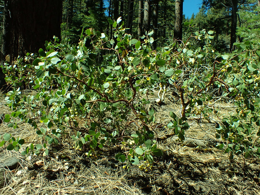 Dry PondHikingPhoto: Matt Lavin, CC BY-SA 2.0 (via Flickr)~7 min drive
 Tamarack Lake TrailHikingPhoto: simonov — CC BY-SA 2.0 (via Flickr)~10 min drive
 Jones CreekHikingPhoto: simonov, CC BY-SA 2.0 (via Flickr)~8 min drive
 Upper Thomas Creek TrailHikingPhoto: Ken Lund, CC BY-SA 2.0 (via Flickr)~9 min driveGalena Interp Loop TrailHikingPhoto: simonov, CC BY-SA 2.0 (via Flickr)~8 min driveThomas CreekHikingPhoto: simonov, CC BY-SA 2.0 (via Flickr)~4 min drive
Also worth it near here
Daily highs and lows, wind and the chance of precipitation at Start for the next 7 days, from the Open-Meteo model.
Questions about Rim to Reno: conditions, access, timing. Answers say when something isn't known.
Mount Rose (nv)
Campground
Fox Cultural Hall
Museum
Places © OpenStreetMap contributors, Places © Overture Maps Foundation
More in Sunnyside-Tahoe CityNot on Roamze yet. Their page has how to reach them.
