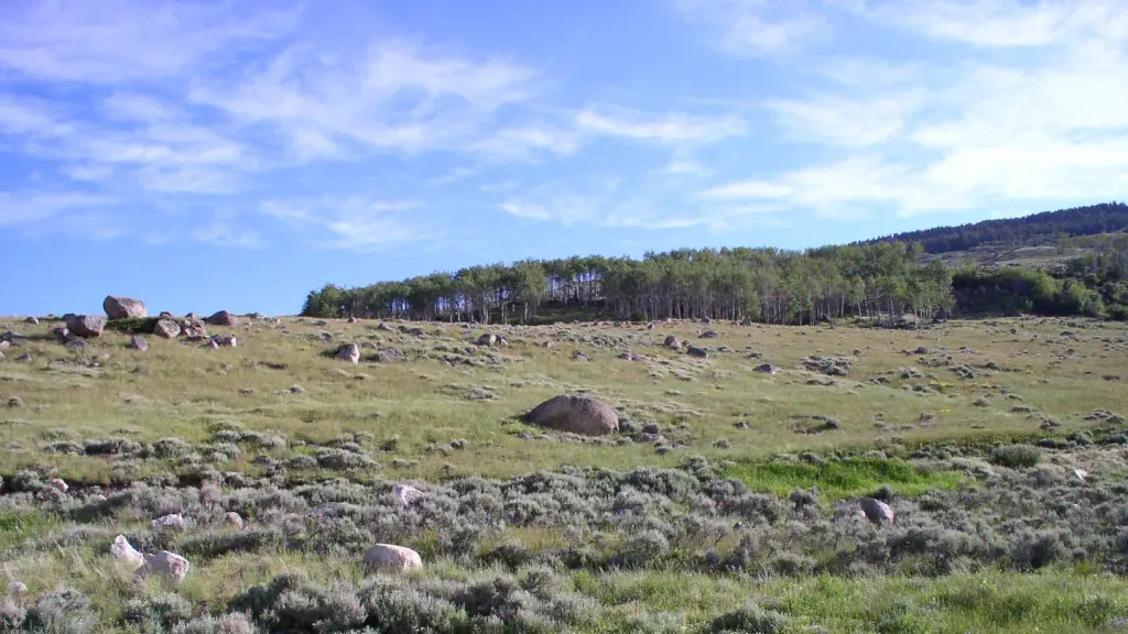


Ranger Creek Recreation Area
Campground
1.6 mi from the trail
Adelaide is a hard hike in Wyoming's Cloud Peak Wilderness, part of the Medicine Wheel Ranger District of Bighorn National Forest. The trail is an out-and-back of about 8 miles, with a total elevation gain of 1,305 feet, taking you from a low point of about 8,000 feet to a high of about 9,345 feet. The Forest Service manages the land, and the trail's natural surface and horse-friendly status make it a viable option for riders as well as hikers. Summer is the most comfortable time to go. Typical averages from a nearby weather station at Burgess Junction, which sits about 1,300 feet lower, show July highs around 71°F with lows near 42°F. That station's figures are only a rough guide, since temperatures on the trail run cooler. The hike is open year-round, and the surrounding area offers plenty to pair it with. Mail Creek and the Adelaide Trail both lie about 1.3 miles away, and Ranger Creek Recreation Area and Shell Creek campground are within about 2.3 miles.
Where it is: Cloud Peak Wilderness · Medicine Wheel Ranger District
Near: Sheridan
Best months: June–September. Best months have typical highs of 55–85 °F, lows of 30 °F or warmer (32 °F where the station doesn't record snow), at most one snowy day and no more than 12 wet days.
Jan
30°
8°
Feb
29°
7°
Mar
35°
13°
Apr
41°
18°
May
50°
28°
Jun
61°
35°
Jul
71°
42°
Aug
70°
41°
Sep
61°
33°
Oct
46°
23°
Nov
36°
15°
Dec
29°
8°
Typical high / low (°F) and days with rain or snow, 1991–2020. Measured at Burgess Junction, WY, 16.1 mi away at 8,060 ft. The station sits about 1,300 ft lower than this place, so expect it a little cooler here. This station doesn't record snowfall. Source: NOAA NCEI U.S. Climate Normals 1991–2020.
Been here? Tell people how it was.
Daily highs and lows, wind and the chance of precipitation at Start for the next 7 days, from the Open-Meteo model.
Questions about Adelaide: conditions, access, timing. Answers say when something isn't known.
Ranger Creek Recreation Area
Campground
Places © Overture Maps Foundation
More in Hyattville