Loading…

Free — you'll pick up right here.
Watch this trail
Sign up to watch it — saving subscribes you to gate, closure and report changes.
Wyoming
7.4 mi
Distance
337 ft
Gain
2h 38m
Time
We won't guess. Here is exactly what we do and don't know.
What we do know
Inside Bighorn National Forest
2 managing-area boundaries mapped — agency alerts for them feed this page automatically.
Boundary data
What's missing
No access route mapped
We don't yet know which road reaches this trailhead, so we can't tell you if it's gated.
Nobody's filed a report here yet — be the first.
Why you'll love it
Shell Lakes High Trail
AI-suggested draft · review before you go
No permit or access details on file for this trail — check with the local land manager before you go.
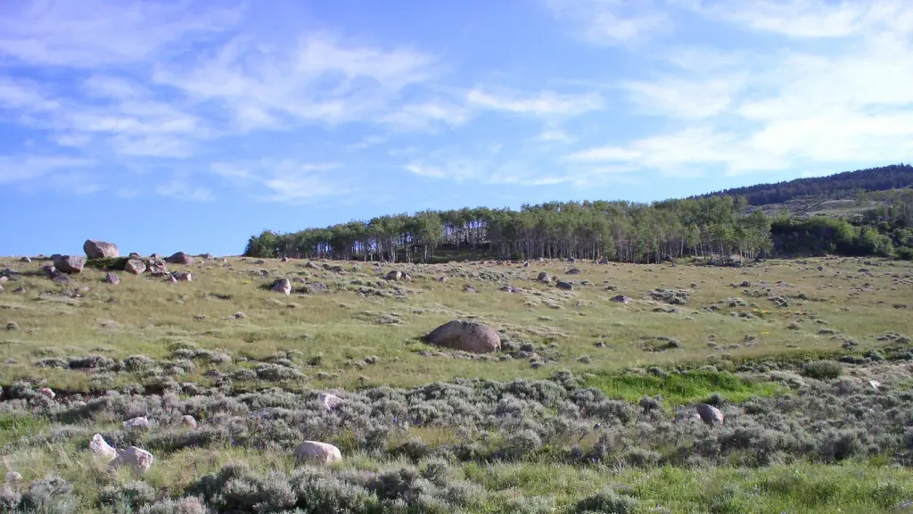
Shell Lakes High Trail is a 7.4-mile out-and-back hike located in Wyoming. This trail offers access to the Shell Lakes area and is ideal for hikers seeking a moderate backcountry experience. The out-and-back format means you'll retrace your steps on the return journey, covering approximately 14.8 miles total if you hike to the turnaround point and back. The trail provides scenic views of the Wyoming landscape and access to alpine lake environments. This route is popular for those interested in exploring the Shell Lakes basin and the surrounding high country terrain. Due to its length and backcountry nature, this trail is suitable for hikers with moderate experience and fitness levels. The trail's high elevation setting makes it ideal for summer hiking, though weather conditions in the mountains can change rapidly. Proper preparation with adequate water, navigation tools, and weather-appropriate gear is recommended. Check current trail conditions before heading out, as mountain weather and seasonal factors can affect accessibility and hiking difficulty.

Rhinehart Lakes
~10 min drive
1.4 mi · Easy

Cedar Creek
~24 min drive
11 mi · Hard
Mail Creek
~8 min drive
4.6 mi · Moderate
Duncan Lake
~11 min drive
0.7 mi · Easy
Edelman
~8 min drive
8.7 mi · Hard
Geddes Lake
~11 min drive
5.6 mi · Moderate
Coffeen Park
~11 min drive
1.2 mi · Easy
Adelaide
~9 min drive
8.1 mi · Hard
Main Paintrock
~18 min drive
5.3 mi · Moderate
Thayer Lake
~10 min drive
1.9 mi · Easy