Shell Reservoir Camping Area
Campground
Campground · 2.4 mi from the trail
Alert in the area
The Forest Service lists an alert for Medicine Wheel Ranger District.
Forest Special Order 02-02-03-25-05 Shell Falls Interpretive Site Closure
Agency alert covering Medicine Wheel Ranger District · Order 02-02-03-25-05 · USFS · Medicine Wheel Ranger District
As of · Source: USFS · Medicine Wheel Ranger District. Agencies don't list every closure — check before you go.
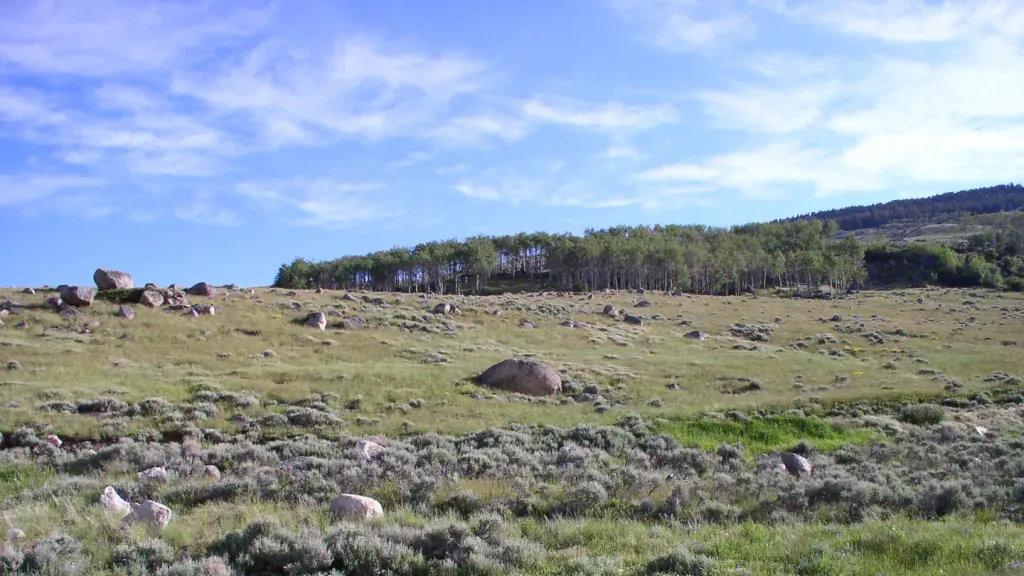
Mail Creek is a 4.6-mile out-and-back hike in Wyoming's Cloud Peak Wilderness, within the Medicine Wheel Ranger District of Bighorn National Forest. The trail rises from a low point of 8,024 feet to a high of 8,808 feet, with a total elevation gain of 295 feet. The Forest Service manages the land, and the route is rated moderate. The trail is natural-surfaced and allows horses, but bikes are not permitted. It is open year-round, and the nearest town is Shell, about 2.4 miles away. Summer is the most comfortable time to go. Typical averages from a nearby weather station at Burgess Junction show July highs around 71°F with lows near 42°F, while winter highs stay in the low 30s. Nearby, the Adelaide hike is about 1.3 miles away and the Adelaide Trail about 2.2 miles. Shell Reservoir Camping Area and Ranger Creek Recreation Area are both about 2.4 miles off.
Shell Reservoir Camping Area
Campground
 Shell CreekCampingPhoto: Recreation.gov (RIDB) / public domain3.2 mi
Source: Roamze catalog (indexable pages within 10 miles, PostGIS distance)
Best months: June–September. Best months have typical highs of 55–85 °F, lows of 30 °F or warmer (32 °F where the station doesn't record snow), at most one snowy day and no more than 12 wet days.
Jan
30° / 8°
Feb
29° / 7°
Mar
35° / 13°
Apr
41° / 18°
May
50° / 28°
Jun
61° / 35°
Jul
71° / 42°
Aug
70° / 41°
Sep
61° / 33°
Oct
46° / 23°
Nov
36° / 15°
Dec
29° / 8°
Typical high / low (°F) and days with rain or snow, 1991–2020. Measured at Burgess Junction, WY, 17.4 mi away at 8,060 ft. The station sits about 700 ft lower than this place, so expect it a little cooler here. This station doesn't record snowfall. Source: NOAA NCEI U.S. Climate Normals 1991–2020.


