Rock Chuck Pass
- 9.0 mi
- round trip
- 1,556 ft
- climb
- 9,838 ft
- high point
- Out and back
- route
Is Rock Chuck Pass open right now?
No closures listed
The Forest Service lists no closures for Bighorn National Forest.
As of · Source: USFS · Bighorn National Forest. Agencies don't list every closure — check before you go.
Rock Chuck Pass is a 9-mile out-and-back hike in the Tongue Ranger District of Wyoming's Bighorn National Forest, on land managed by the Forest Service. The route is rated hard and stays high throughout, ranging from about 8,470 feet at its low point to roughly 9,840 feet at the top. Expect about 1,550 feet of climbing one way. The tread is a natural surface, and the trail is open to hikers, mountain bikers and horseback riders alike. Nearby, the Sawmill and Graves Creek hikes are each about 2 miles away. The Eastern Big Horns climbing area sits roughly 4 miles off, and Dead Swede campground is about 6 miles away.
- SawmillHiking2 mi
- GRAVES CREEKHiking2.2 mi
- Eastern Big HornsRock climbing3.9 mi
- West Fork Big Goose CreekCanoeing4.8 mi
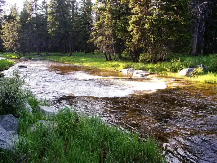 Dead SwedeCampingPhoto: Recreation.gov (RIDB) / public domain5.8 mi
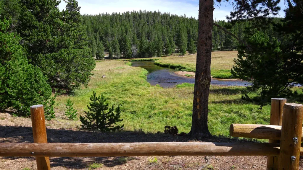 Tie FlumeCampingPhoto: Recreation.gov (RIDB) / public domain7.7 mi
- Road 10 RocksRock climbing7.7 mi
- South Tongue RiverCanoeing8.4 mi
Source: Roamze catalog (indexable pages within 10 miles, PostGIS distance)
 Prune CreekHiking · ~17 min drivePhoto: David Haile, CC BY-SA 4.0 (via Wikimedia Commons)
- Coney CreekHiking · ~6 min drive
- West ForkHiking · ~10 min drive
- Upper Sawmill LakeHiking · ~6 min drive
- Quartz CreekHiking · ~11 min drive
- Geddes LakeHiking · ~11 min drive
- Sawmill LakesHiking · ~7 min drive
- Walker PrairieHiking · ~11 min drive
- BIG GOOSE CUTOFFHiking · ~13 min drive
- GRANITE CREEKHiking · ~10 min drive


