Ubehebe Peak
At a glance
Ubehebe Peak is a summit in California, inside the Death Valley Wilderness within Death Valley National Park. Keeler is the nearest town, about 21 miles away. Because the peak lies in designated wilderness, it is part of the park's undeveloped backcountry rather than its road-served areas. The closest nearby hike is Corridor Canyon, about 4 miles away.
- summit
- 5,676 ft
- way up
- 1
Where it is: Death Valley Wilderness · Death Valley National Park
Near: Lone Pine
Loading this week's forecast
Been here? Tell people how it was.
Map © Mapbox © OpenStreetMap contributors - Thimble Peak6,372 ft · California1 route31 mi away
- Corkscrew Peak5,793 ft · California1 route33 mi away
 Mount Langley14,028 ft · California1 route38 mi awayPhoto: Timwryan (talk · contribs), CC BY-SA 4.0 (via Wikimedia Commons)
- Mount Irvine13,789 ft · California1 route39 mi away
- Mount Carillon13,551 ft · California1 route39 mi away
 Mount McAdie13,777 ft · California1 route40 mi awayPhoto: glenngould, CC BY 2.0 (via Wikimedia Commons)
 The GrandstandSummitPhoto: Manoseca, Public domain (via Wikimedia Commons)~2 min drive
 Tin MountainSummitPhoto: David Stone, CC BY-SA 2.0 (via Wikimedia Commons)~26 min drive
 Eureka DunesSummitPhoto: G. Thomas at English Wikipedia, Public domain (via Wikimedia Commons)~49 min drive
 Waucoba MountainSummitPhoto: Adorabutton, CC BY-SA 4.0 (via Wikimedia Commons)~56 min drive
 Lone Pine PeakSummitPhoto: UFGS Region 5, CC BY 2.0 (via Wikimedia Commons)~1h 3m drive
 Aguereberry PointSummitPhoto: Clyde Charles Brown, CC BY-SA 4.0 (via Wikimedia Commons)~1h 5m drive
 Silver PeakSummitPhoto: sdold, CC BY-SA 3.0 (via Wikimedia Commons)~1h 5m drive
- Mount LangleySummitPhoto: Timwryan (talk · contribs), CC BY-SA 4.0 (via Wikimedia Commons)~1h 5m drive
 Mount CorcoranSummitPhoto: Eggbones, CC BY-SA 4.0 (via Wikimedia Commons)~1h 6m drive
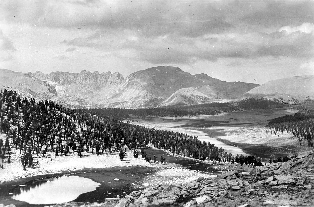 Mount Le ConteSummitPhoto: Not stated., Public domain (via Wikimedia Commons)~1h 6m drive
Conditions and forecast
Daily highs and lows, wind and the chance of precipitation at the summit and route start for the next 7 days, from the Open-Meteo model.
Questions about Ubehebe Peak
How tall is Ubehebe Peak?
5,676 ft (1,730 m).
How many routes go to the summit of Ubehebe Peak?
One: Ubehebe Peak.

Ask about this place
Questions about Ubehebe Peak: conditions, access, timing. Answers say when something isn't known.
