Weston Pass Campground
Campground
3.5 mi from the trail
Tumble Creek Cutoff is a short out-and-back hike in the South Park Ranger District of the Pike and San Isabel National Forests in Colorado, managed by the Forest Service. The route is about 1.8 miles long, with a one-way climb of 338 feet. The trail starts close to West Buffalo Peak and East Buffalo Peak, which sit about 0.1 mile away. Summer is the most comfortable time to go. Typical averages from a nearby weather station run to highs around 76°F in July, with lows near 41°F. Winters are cold, with January highs around 32°F and lows near -4°F. Weston Pass Campground is about 3.5 miles away. Buffalo Springs Campground, the South Fork South Platte River and the Wall climbing area are all within about 7 miles.
Where it is: South Park Ranger District · Pike and San Isabel National Forests
Near: Leadville
Best months: June–August. Best months have typical highs of 55–85 °F, lows of 30 °F or warmer (32 °F where the station doesn't record snow), at most one snowy day and no more than 12 wet days.
Jan
32°
-4°
4 wet
Feb
34°
-1°
4 wet
Mar
42°
10°
5 wet
Apr
49°
19°
6 wet
May
59°
27°
7 wet
Jun
70°
34°
7 wet
Jul
76°
41°
11 wet
Aug
73°
39°
12 wet
Sep
67°
30°
7 wet
Oct
55°
19°
5 wet
Nov
42°
9°
4 wet
Dec
32°
-2°
4 wet
Typical high / low (°F) and days with rain or snow, 1991–2020. Measured at Antero Rsvr, CO, 11.7 mi away at 8,939 ft. We don't have this place's elevation, so higher spots nearby can run cooler. This station doesn't record snowfall. Source: NOAA NCEI U.S. Climate Normals 1991–2020.
Been here? Tell people how it was.
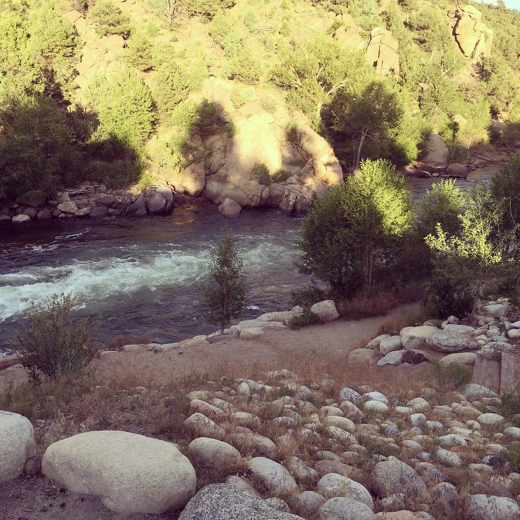
 South Fork South Platte RiverCanoeingPhoto: Jeffrey Beall, CC BY 3.0 (via Wikimedia Commons)4.5 mi
 North TrailHikingPhoto: JenTravelsLife, CC BY 2.0 (via Flickr)~21 min drive
 Mount Sherman - Southwest Ridge from Fourmile CreekHikingPhoto: jl_2, CC BY-SA 2.0 (via Flickr)~22 min drive
 Unmarked Rugged TrailHikingPhoto: Paul and Jill, CC BY 2.0 (via Flickr)~22 min drive
 Limber GroveHikingPhoto: Ben Mason, CC BY 2.0 (via Flickr)~21 min drive
 Colorado TrailHikingPhoto: markbyzewski, CC BY 2.0 (via Flickr)~22 min driveWhitewater TrailHikingPhoto: Paul and Jill, CC BY 2.0 (via Flickr)~22 min drive
Daily highs and lows, wind and the chance of precipitation at Start for the next 7 days, from the Open-Meteo model.
Questions about Tumble Creek Cutoff: conditions, access, timing. Answers say when something isn't known.
Weston Pass Campground
Campground
 If it rainsPlazak, CC BY 3.0 · Wikimedia Commons
Matchless Mine
Attraction
Places © OpenStreetMap contributors, Places © Overture Maps Foundation · Photos: Plazak, CC BY 3.0 (commons)
More in Leadville