
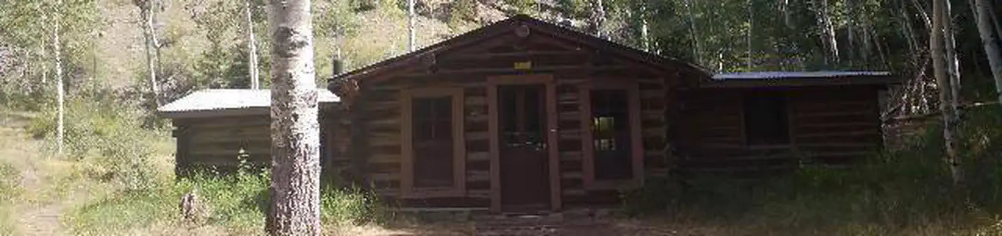
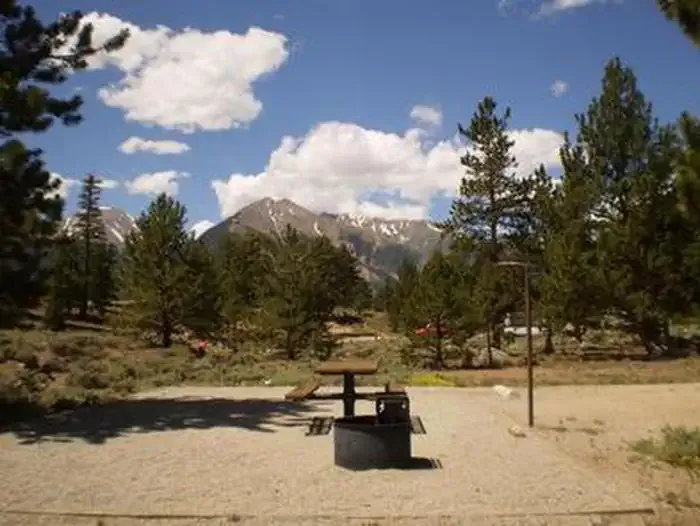
Arrowhead Point Campground and Cabins
Hiking business nearby (~11 mi away) — hasn't claimed their Roamze page yet
Free — you'll pick up right here.
Save this plan
Sign up to save your own editable copy — you'll pick up right here.
Colorado
13.0 mi
Distance
3,238 ft
Gain
No conditions check on file for this trail yet — always verify current conditions before you go.
Why you'll love it
Rich Creek
AI-suggested draft · review before you go
Rich Creek is a 6.5-mile loop trail located in Colorado near the town of Colorado, within the San Juan National Forest on the Columbine Ranger District. This moderate loop offers hikers an opportunity to explore the varied terrain and ecosystems of the San Juan Mountains. The trail traverses through the Columbine Ranger District, a region known for its diverse forest composition and mountain creeks. Rich Creek's loop configuration allows hikers to complete a full circuit without retracing their steps, making it an efficient use of hiking time. The San Juan National Forest encompasses over two million acres and provides access to numerous trails ranging from day hikes to backcountry routes. As a loop trail, Rich Creek is well-suited for hikers seeking a contained hiking experience without the need for shuttle arrangements. Hikers should check current trail conditions and obtain up-to-date information from the Columbine Ranger District office before visiting. Weather conditions in the San Juan Mountains can change rapidly, particularly at higher elevations. Visitors are encouraged to prepare accordingly with proper gear and supplies for a mountain environment.

Colorado Trail Seg. 11 Half Moon Creek to Clear Creek Road
~11 min drive
42 mi · Hard

Mcquaid
~15 min drive
5.8 mi · Moderate

Bunny's Trail
~17 min drive
1.7 mi · Easy
Mount Oxford
~20 min drive
Standard route to Mount Oxford (14,160 ft) from Missouri Gulch Trailhead (via Belford traverse).

Vitamin B
~11 min drive
11 mi · Hard

Mt. Belford - Missouri Gulch
~21 min drive
3.5 mi · Moderate

Mt. Belford - Elkhead Pass
~20 min drive
1.7 mi · Easy
Missouri Mountain
~20 min drive
Standard route to Missouri Mountain (14,074 ft) from Missouri Gulch.

Colorado Trail
~16 min drive
357 mi · Hard
Missouri Mtn
~22 min drive
3.2 mi · Moderate
Local operatorsoffering guided trips. You book directly with them — Roamze doesn’t take a cut.
Arrowhead Point Campground and Cabins
Hiking business nearby (~11 mi away) — hasn't claimed their Roamze page yet
Valley Mobile RV Park
Hiking business nearby (~12 mi away) — hasn't claimed their Roamze page yet
Mt. Princeton RV Park
Hiking business nearby (~12 mi away) — hasn't claimed their Roamze page yet