Weston Pass Campground
Campground
Campground · 3.5 mi from the trail
Alert in the area
The Forest Service lists 8 alerts for Pike and San Isabel National Forests.
FSR 286, Radical Hill, is closed due to washouts and unsafe conditions
Agency alert covering Pike and San Isabel National Forests · USFS · Pike and San Isabel National Forests
Interlaken Hotel Tree Hazards
Agency alert covering Pike and San Isabel National Forests · USFS · Pike and San Isabel National Forests
National Forest Service Road 8 closure
Agency alert covering South Park Ranger District · Order 02-12-10-26-13 · USFS · South Park Ranger District
Sharpe Fire Update
Agency alert covering Pike and San Isabel National Forests · USFS · Pike and San Isabel National Forests
Turquoise Lake Road (County Road 4) Closure
Agency alert covering Pike and San Isabel National Forests · USFS · Pike and San Isabel National Forests
As of · Source: USFS · Pike and San Isabel National Forests. Agencies don't list every closure — check before you go.
East Buffalo Peak is a 10.2-mile out-and-back hike in the South Park Ranger District of the Pike and San Isabel National Forests in Colorado. The route climbs to a high point of 13,310 feet, with a total gain of 3,444 feet, and is rated expert in difficulty. The Forest Service manages the land. The trip takes about five hours. The climb is steep, and the route drops back down the same way, so plan for a full day of hiking rather than a half-day outing. West Buffalo Peak and the Tumble Creek Cutoff both lie about 0.1 mile away, so the two peaks make an easy pairing. For overnight stays, Weston Pass Campground is about 3.5 miles off, and Buffalo Springs Campground is about 6.4 miles away.
Weston Pass Campground
Campground
 If it rainsPlazak, CC BY 3.0 · Wikimedia Commons
Matchless Mine
Attraction
Places © OpenStreetMap contributors, Places © Overture Maps Foundation · Photos: Plazak, CC BY 3.0 (commons)
More in LeadvilleDaily highs and lows, wind and the chance of precipitation at the summit and route start for the next 7 days, from the Open-Meteo model.
 South Fork South Platte RiverCanoeingPhoto: Jeffrey Beall, CC BY 3.0 (via Wikimedia Commons)4.5 mi
Source: Roamze catalog (indexable pages within 10 miles, PostGIS distance)
 Limber GroveHiking · ~21 min drivePhoto: Ben Mason, CC BY 2.0 (via Flickr)
 Mount Sherman - Southwest Ridge from Fourmile CreekHiking · ~22 min drivePhoto: jl_2, CC BY-SA 2.0 (via Flickr)
 Unmarked Rugged TrailHiking · ~22 min drivePhoto: Paul and Jill, CC BY 2.0 (via Flickr)
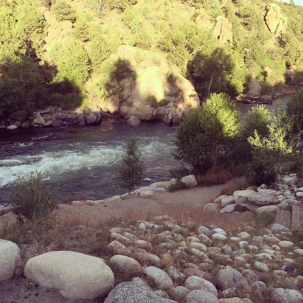 North TrailHiking · ~21 min drivePhoto: JenTravelsLife, CC BY 2.0 (via Flickr)
 Colorado TrailHiking · ~22 min drivePhoto: markbyzewski, CC BY 2.0 (via Flickr)Whitewater TrailHiking · ~22 min drivePhoto: Paul and Jill, CC BY 2.0 (via Flickr)
Also worth it near here
About 10.2 mi round trip from Lynch Creek Trailhead.
About 3,444 ft of climbing round trip.
It is rated expert.
Lynch Creek Trailhead.
© openrouteservice.org by HeiGIT | Map data © OpenStreetMap contributors

