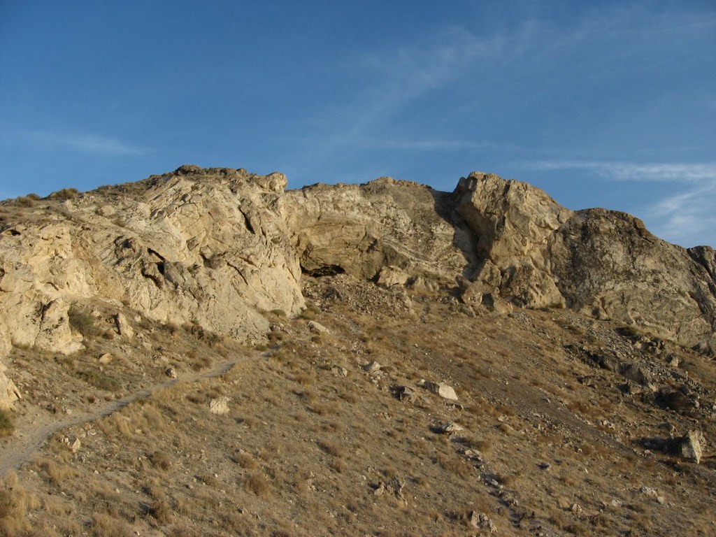
Topog Peak
 Photo: Famartin, CC BY-SA 4.0 (via Wikimedia Commons)
At a glance
Topog Peak is a summit of 5,533 feet in Nevada, on Bureau of Land Management land within the Humboldt River Field Office. The nearest town is Lovelock, about 22 miles away. Spring and fall are the most comfortable times to visit. Typical averages from a nearby weather station in Lovelock show May highs around 75°F and October highs near 69°F, while July averages about 96°F and winter lows drop to around 18°F. That station sits roughly 1,600 feet below the peak, so temperatures on top run cooler. Humboldt Slough, a canoeing spot, is about 7 miles away, and the Lovelock Caves Trail is about 7.5 miles away.
- summit
- 5,533 ft
- managed by
- Bureau of Land Management
- best months
- Apr–Jun, Sep–Oct
Where it is: Humboldt River Field Office
Near: Fallon
Best time to visit Topog Peak
Best months: April–June and September–October. Best months have typical highs of 55–85 °F, lows of 30 °F or warmer (32 °F where the station doesn't record snow), at most one snowy day and no more than 12 wet days.
Jan
44°
19°
6 wet
Feb
50°
23°
5 wet
Mar
59°
28°
5 wet
Apr
65°
34°
5 wet
May
75°
43°
5 wet
Jun
85°
50°
3 wet
Jul
96°
56°
2 wet
Aug
93°
53°
2 wet
Sep
84°
44°
2 wet
Oct
69°
33°
3 wet
Nov
54°
23°
4 wet
Dec
43°
18°
5 wet
Typical high / low (°F) and days with rain or snow, 1991–2020. Measured at Lovelock Derby Fld, NV, 13.4 mi away at 3,902 ft. The station sits about 1,600 ft lower than this place, so expect it a little cooler here. This station doesn't record snowfall. Source: NOAA NCEI U.S. Climate Normals 1991–2020.
Been here? Tell people how it was.
We don't know of a mapped trail or route to the summit of Topog Peak. Plan the approach with local maps, a guidebook or a local guide, and check conditions before you go.
- Canoe Hill5,354 ft · Nevada2 routes58 mi away
- Steamboat Mountain4,269 ft · Nevada1 route73 mi away
 Mount Rose10,773 ft · Nevada1 route77 mi awayPhoto: Mr. Richard from Fair Oaks, USA, CC BY 2.0 (via Wikimedia Commons)
- Mount Houghton10,484 ft · Nevada1 route78 mi away
 Relay Peak10,323 ft · Nevada2 routes79 mi awayPhoto: Mitch Barrie, CC BY-SA 2.0 (via Wikimedia Commons)
- Babbitt Peak8,757 ft · California1 route80 mi away
Conditions and forecast
Daily highs and lows, wind and the chance of precipitation at the summit for the next 7 days, from the Open-Meteo model.
Questions about Topog Peak
How tall is Topog Peak?
5,533 ft (1,686 m).
Is there a trail to the top of Topog Peak?
We don't know of a mapped trail or route to the summit. Plan the approach with local maps, a guidebook or a local guide.


Ask about this place
Questions about Topog Peak: conditions, access, timing. Answers say when something isn't known.
