Lovelock Caves Trail
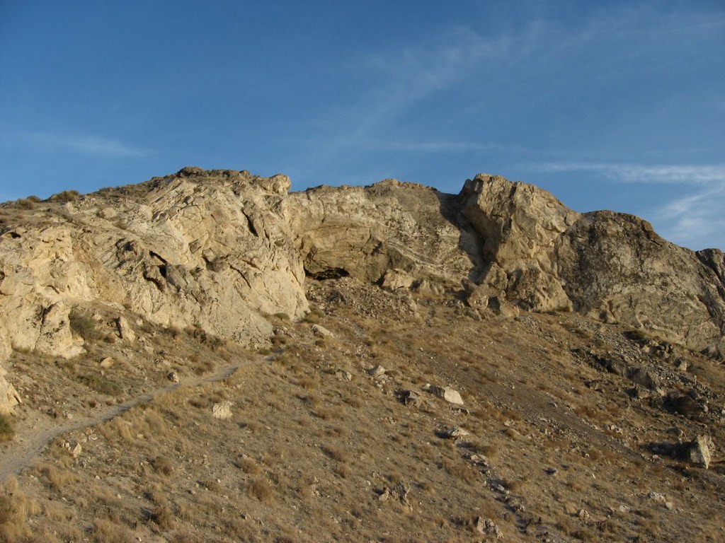 Photo: Ken Lund, CC BY-SA 2.0 (via Flickr)
- 0.4 mi
- loop
- 82 ft
- climb
- 4,278 ft
- high point
- Loop
- route
- Apr–Jun, Sep–Oct
- best months
Lovelock Caves Trail is a short, easy hike on Bureau of Land Management land in Nevada, within the Humboldt River Field Office. The loop covers less than half a mile, and the trail sits at about 4,270 feet at its highest point, with the start just a few feet lower. That makes it a quick outing for anyone already in the area. The hike is a loop, so you can walk it in either direction. The most noticeable climb comes in the middle of the route, with a grade of about 6 percent at the quarter-mile mark. The total change in elevation is small, with about 80 feet of gain and 160 feet of loss over the course of the loop. Spring and fall are the most comfortable times to go. Typical averages from a nearby weather station show May highs around 75°F and October highs around 69°F, while July averages climb to about 96°F. That station sits several hundred feet lower than the trail, so temperatures on the hike run a little cooler. Two other routes are close by. The Old California Trail lies about 2.8 miles away, and the Emigrant Trail is roughly 6.4 miles off.
Source: Roamze catalog (indexable pages within 10 miles, PostGIS distance)
 East Cove TrailHiking · ~1h 5m drivePhoto: ron.shafrir, CC BY 2.0 (via Flickr)
- Old California TrailHiking · ~5 min drive
- Emigrant TrailHiking · ~11 min drive
 Hidden Cave Loop TrailHiking · ~1h 6m drivePhoto: nonbinaryanalog, CC BY-SA 2.0 (via Flickr)
- California Emigrant Trail (Truckee River Route)Hiking · ~43 min drive
- California Emigrant Trail (Truckee River Route)Hiking · ~51 min drive
 Overlook TrailHiking · ~1h 7m drivePhoto: Ken Lund, CC BY-SA 2.0 (via Flickr)
- Government TrailHiking · ~50 min drive
- Pony Express RouteHiking · ~1h 24m drive
- Petroglyph TrailHiking · ~1h 7m drivePhoto: Ken Lund, CC BY-SA 2.0 (via Flickr)
Best time to visit Lovelock Caves Trail
Best months: April–June and September–October. Best months have typical highs of 55–85 °F, lows of 30 °F or warmer (32 °F where the station doesn't record snow), at most one snowy day and no more than 12 wet days.
Jan
44° / 19°
6 wet
Feb
50° / 23°
5 wet
Mar
59° / 28°
5 wet
Apr
65° / 34°
5 wet
May
75° / 43°
5 wet
Jun
85° / 50°
3 wet
Jul
96° / 56°
2 wet
Aug
93° / 53°
2 wet
Sep
84° / 44°
2 wet
Oct
69° / 33°
3 wet
Nov
54° / 23°
4 wet
Dec
43° / 18°
5 wet
Typical high / low (°F) and days with rain or snow, 1991–2020. Measured at Lovelock Derby Fld, NV, 7.4 mi away at 3,902 ft. This station doesn't record snowfall. Source: NOAA NCEI U.S. Climate Normals 1991–2020.

Map and trail data © OpenStreetMap contributors
