
Silver City RV Park
Hiking business nearby (~29 mi away) — hasn't claimed their Roamze page yet
New Mexico
Free — you'll pick up right here.
1.9 mi
Distance
1,867 ft
Gain
1h 14m
Time
Agency alerts are in effect for this area; weather is good
2 factors · 2 sources
Newest 11 h ago · oldest 11 h
caution: Agency alerts
4 active alerts in Gila National Forest; most severe: Gila National Forest Occupancy and Use Prohibitions
USFSPosted Apr 21, 2025 · checked 11 h ago
clear: Weather
Clouds, high 68°F / low 48°F, 0% precip — 98/100 for hike
OpenWeather11 h ago
Been out here in the last few days? One report keeps this current for everyone.
Why you'll love it
Spring Canyon Trail #721
Suggested plan · check conditions before you go
Spring Canyon Trail #721 is a 3.74-mile out-and-back trail in New Mexico with 1,867 feet of elevation gain and loss. The route reaches a maximum elevation of 8,206 feet.
It rolls up and down the whole way rather than holding one long climb.
Source: Roamze elevation profile and trail geometry (DEM samples along the mapped route)
Active alerts for Gila National Forest as of Oct 9, 2026:
Gila National Forest Occupancy and Use Prohibitions
information · posted Aug 24, 2026
Vandalism on forest defers maintenance, decreases public safety
information · posted Aug 24, 2026
Potentially Dangerous Animal Encounters
caution · posted Aug 24, 2026
Harmful algae detected in Lake Roberts
caution · posted Aug 24, 2026
Source: USFS forest alerts
Source: Roamze catalog (indexable pages within 10 miles, PostGIS distance)
 Photo: Patrick Alexander from Las Cruces, NM, CC0 (via Wikimedia Commons)
Silver Creek Road
~3 min drive
4.16-mile out-and-back trail in New Mexico with 105 ft elevation gain.
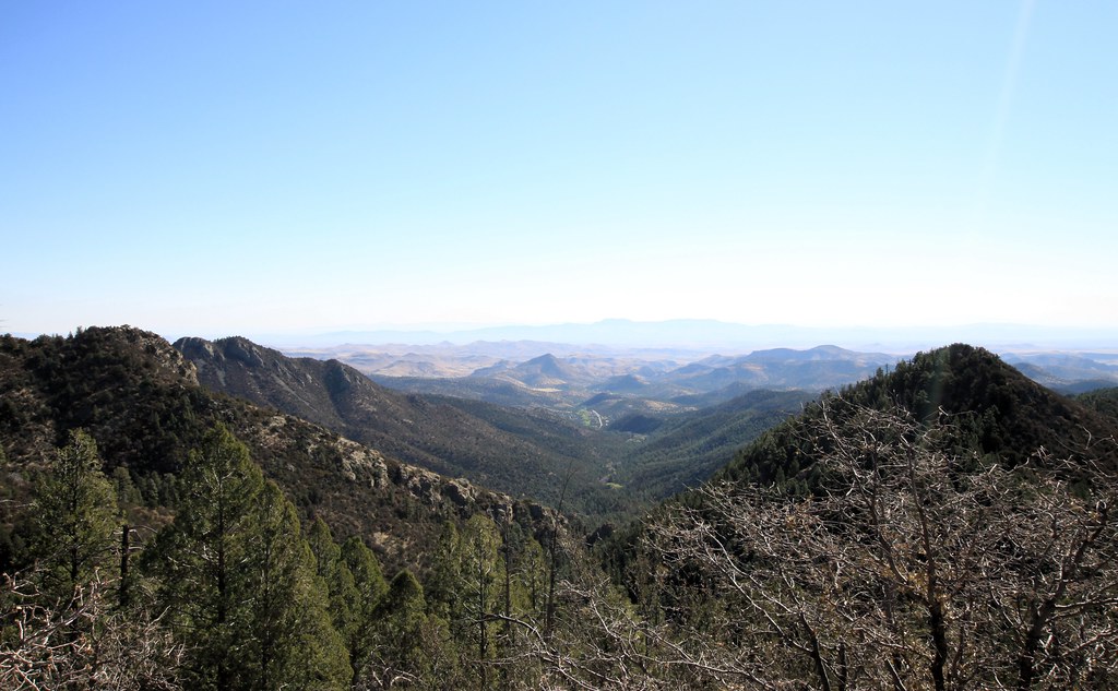 Photo: uıɐɾ ʞ ʇɐɯɐs, CC BY-SA 2.0 (via Flickr)
Cdt Jov
~4 min drive
0.26-mile out-and-back trail in New Mexico with 158 ft of elevation gain.
Photo: uıɐɾ ʞ ʇɐɯɐs, CC BY-SA 2.0 (via Flickr)Scenic Trail
~4 min drive
8.32-mile out-and-back trail in New Mexico with 3,231 ft gain/loss.
Lower Gallinas
~6 min drive
1.06-mile out-and-back trail in New Mexico with 272 ft of elevation gain.
Holden Prong Trail #114
~6 min drive
9.42-mile out-and-back trail in New Mexico with 419 ft gain.
 Photo: uıɐɾ ʞ ʇɐɯɐs, CC BY-SA 2.0 (via Flickr)
Ladrone Gulch Trail #127
~5 min drive
2.71-mile out-and-back trail in New Mexico with 535 ft elevation gain.
Photo: uıɐɾ ʞ ʇɐɯɐs, CC BY-SA 2.0 (via Flickr)Hillsboro Peak Bypass Trail #412
~5 min drive
1.07-mile out-and-back trail in New Mexico with 917 ft gain.
 Photo: Patrick Alexander from Las Cruces, NM, CC0 (via Wikimedia Commons)
Black Range Crest Trail #79
~10 min drive
6.47-mile out-and-back hike in New Mexico with 2,759 ft of elevation gain.
Black Range Crest Trail #79
~12 min drive
12.33-mile out-and-back hike in New Mexico's Black Range with 3,103 ft of elevation gain.
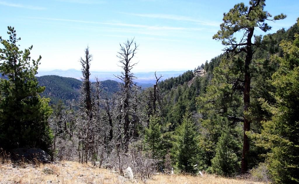 Photo: uıɐɾ ʞ ʇɐɯɐs, CC BY-SA 2.0 (via Flickr)
Old Mineral Creek
~6 min drive
2.56-mile out-and-back trail along Old Mineral Creek in New Mexico.
Map and trail data © OpenStreetMap contributors
Local operatorsoffering guided trips. You book directly with them — Roamze doesn’t take a cut.
Silver City RV Park
Hiking business nearby (~29 mi away) — hasn't claimed their Roamze page yet
Burro Mountain Homestead RV Park
Hiking business nearby (~42 mi away) — hasn't claimed their Roamze page yet
