
Tall Texan RV Park
Campground
3.0 mi from the trail
Signal Peak is a summit of 9,029 feet in Colorado's Gunnison area, about 4 miles from the town of Gunnison. It sits within the BLM's Southwest District. Summer is the most comfortable time to visit. A nearby weather station records typical July highs around 80°F with lows near 44°F, and September averages about 70°F by day. That station sits roughly 1,400 feet below the summit, so temperatures up high run cooler. The Ridge (East) Trail starts just 0.1 mile away, and the Northwoods Trail is about 0.3 mile off. Climbers can find The Corridor and The Damocles Boulders roughly 1.4 miles away.
Where it is: Southwest District
Near: Gunnison · 3.9 mi
Best months: June–September. Best months have typical highs of 55–85 °F, lows of 30 °F or warmer (32 °F where the station doesn't record snow), at most one snowy day and no more than 12 wet days.
Jan
26°
-6°
7 wet
Feb
30°
1°
6 wet
Mar
44°
14°
5 wet
Apr
56°
23°
5 wet
May
66°
30°
6 wet
Jun
76°
36°
6 wet
Jul
80°
44°
10 wet
Aug
77°
43°
11 wet
Sep
70°
34°
9 wet
Oct
60°
22°
6 wet
Nov
44°
11°
5 wet
Dec
28°
-3°
7 wet
Typical high / low (°F) and days with rain or snow, 1991–2020. Measured at Gunnison 3sw, CO, 6.7 mi away at 7,622 ft. The station sits about 1,400 ft lower than this place, so expect it a little cooler here. This station doesn't record snowfall. Source: NOAA NCEI U.S. Climate Normals 1991–2020.
Been here? Tell people how it was.
| Ridge (East) Trail | Northwoods Trail | South Rim Trail | |
|---|---|---|---|
| Climbing | About 453 ft | About 1,525 ft | About 2,728 ft |
| Round trip | 2.9 mi | 3.8 mi | 5.9 mi |
| Difficulty | Easy | Moderate | Hard |
| Terrain | Hike | Hike | Hike |


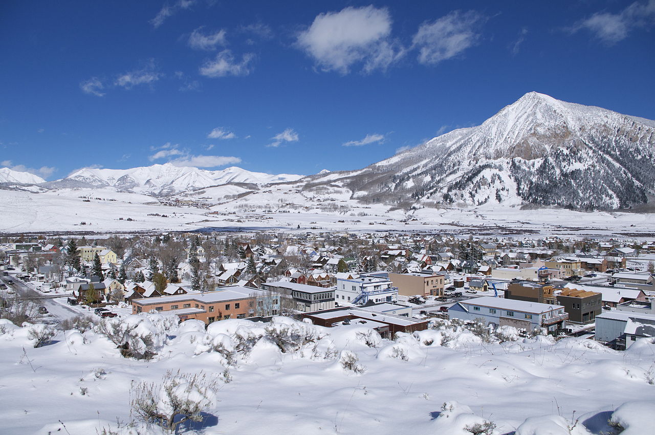
 Henry MountainSummitPhoto: John Sowell, CC BY-SA 4.0 (via Wikimedia Commons)~26 min driveFairview PeakSummitPhoto: Jbsco, CC BY-SA 4.0 (via Wikimedia Commons)~33 min drive
 Tomichi DomeSummitPhoto: Draconrex, CC BY-SA 3.0 (via Wikimedia Commons)~33 min driveWest Elk PeakSummitPhoto: John Sowell, CC BY-SA 4.0 (via Wikimedia Commons)~35 min drive
 Park ConeSummitPhoto: John Sowell, CC BY-SA 4.0 (via Wikimedia Commons)~35 min drive
 Matchless MountainSummitPhoto: John Sowell, CC BY-SA 4.0 (via Wikimedia Commons)~36 min drive
 Cochetopa DomeSummitPhoto: John Sowell, CC BY-SA 4.0 (via Wikimedia Commons)~44 min drive
 Emma Burr MountainSummitPhoto: Jeremy White, CC BY 2.0 (via Wikimedia Commons)~45 min drive
 Mount OwenSummitPhoto: John Sowell, CC BY-SA 4.0 (via Wikimedia Commons)~46 min drive
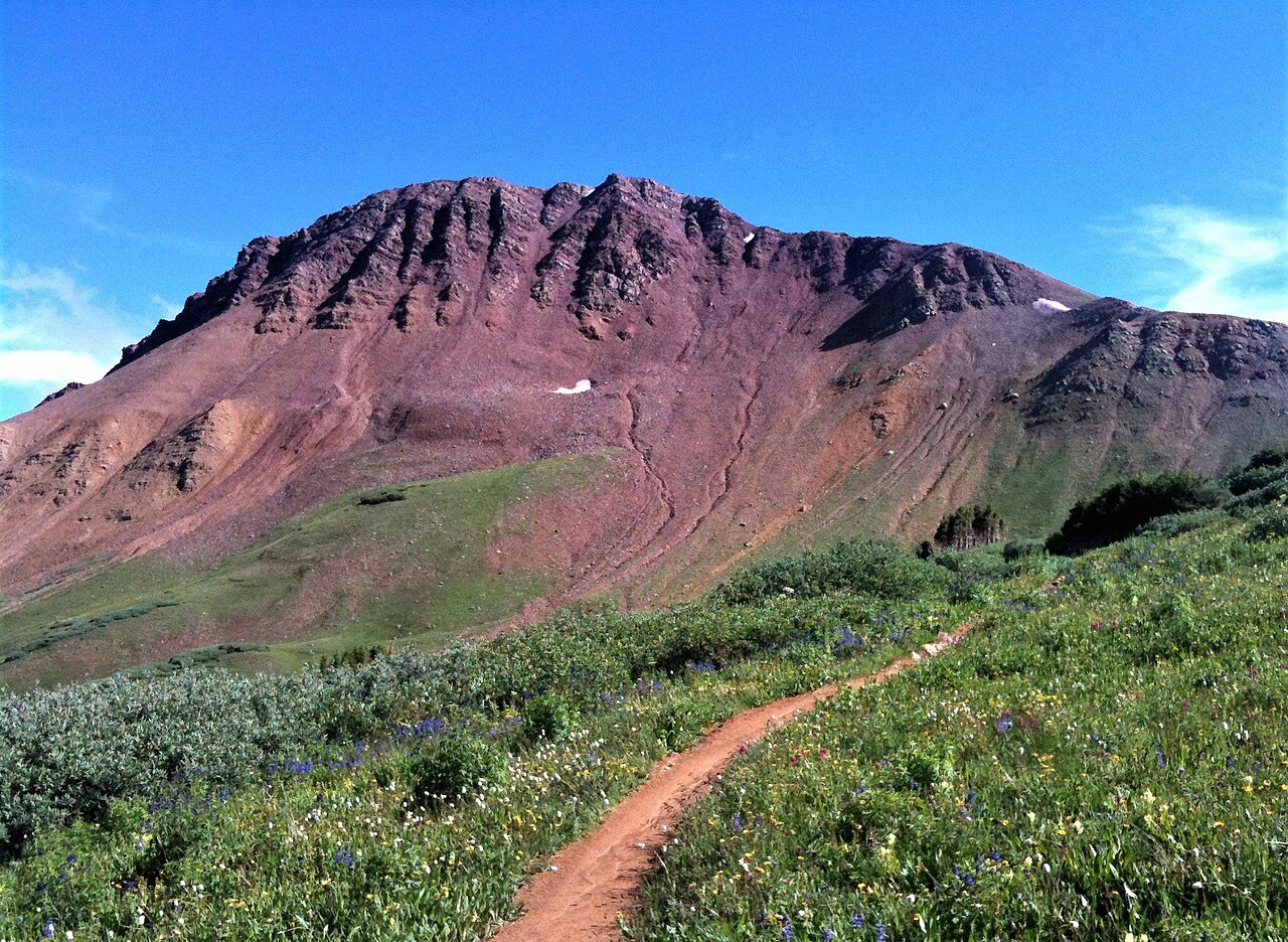 Crystal PeakSummitPhoto: TRAILSOURCE.COM, CC BY 2.0 (via Wikimedia Commons)~46 min drive
Daily highs and lows, wind and the chance of precipitation at the summit and route start for the next 7 days, from the Open-Meteo model.
9,029 ft (2,752 m).
3: Ridge (East) Trail, Northwoods Trail and South Rim Trail.
Ridge (East) Trail, about 2.9 mi round trip.
Questions about Signal Peak: conditions, access, timing. Answers say when something isn't known.
Tall Texan RV Park
Campground
Waunita Pass
Viewpoint
Places © OpenStreetMap contributors, Places © Overture Maps Foundation
More in Pitkin