Gold Creek Campground
Campground
Campground · 3.2 mi from the trail
 Photo: John Sowell, CC BY-SA 4.0 (via Wikimedia Commons)
Closure in the area
There's a closure order in Grand Mesa, Uncompahgre and Gunnison National Forests. It doesn't name Henry Mountain, so check the source for the area it covers (2 listed).
Gold Mountain Wildfire Roads and Trails Closure Order v 4.0
Agency closure covering Grand Mesa, Uncompahgre and Gunnison National Forests · USFS · Grand Mesa, Uncompahgre and Gunnison National Forests
Ophir Pass Road Closure
Agency closure covering Grand Mesa, Uncompahgre and Gunnison National Forests · USFS · Grand Mesa, Uncompahgre and Gunnison National Forests
Potter Basin Road Closure Order
Agency alert covering Grand Mesa, Uncompahgre and Gunnison National Forests · USFS · Grand Mesa, Uncompahgre and Gunnison National Forests
Beaver Park Road Closure Order
Agency alert covering Grand Mesa, Uncompahgre and Gunnison National Forests · USFS · Grand Mesa, Uncompahgre and Gunnison National Forests
TERMINATION OF ORDER - FIRE RESTRICTIONS
Agency alert covering Grand Mesa, Uncompahgre and Gunnison National Forests · USFS · Grand Mesa, Uncompahgre and Gunnison National Forests
As of · Source: USFS · Grand Mesa, Uncompahgre and Gunnison National Forests. Agencies don't list every closure — check before you go.
Henry Mountain is a summit of about 13,268 feet in Gunnison County, Colorado, inside the Fossil Ridge Wilderness. The peak lies within the Gunnison Ranger District of the Grand Mesa, Uncompahgre and Gunnison National Forests, which the Forest Service manages. The nearest town is Pitkin, about 8 miles away. The Forest Service lists a summit route to the top. Van Tuyl and Lower Lamphier Lake are both under 2 miles away. Gold Creek Campground sits about 3 miles off, and Lodgepole (Taylor River Canyon near Gunnison) is roughly 6 miles away.
Gold Creek Campground
Campground
Waunita Pass
Viewpoint
Places © OpenStreetMap contributors
More in PitkinDaily highs and lows, wind and the chance of precipitation at the summit and south lottis trailhead for the next 7 days, from the Open-Meteo model.
Elevation from USGS 3D Elevation Program terrain data (about 10 m resolution).
13,268 ft (4,044 m).
One: Henry Mountain.
Henry Mountain starts at South Lottis Trailhead.


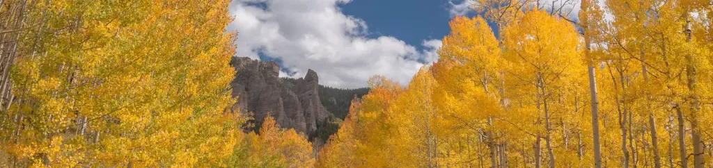 Lodgepole (Taylor River Canyon near Gunnison, COLORADO)CampingPhoto: Recreation.gov (RIDB) / public domain5.6 mi
 Quartz CreekCanoeingPhoto: Jeffrey Beall, CC BY 3.0 (via Wikimedia Commons)9.1 mi
Source: Roamze catalog (indexable pages within 10 miles, PostGIS distance)
Fairview PeakSummit · ~8 min drivePhoto: Jbsco, CC BY-SA 4.0 (via Wikimedia Commons) Park ConeSummit · ~13 min drivePhoto: John Sowell, CC BY-SA 4.0 (via Wikimedia Commons)
 Matchless MountainSummit · ~18 min drivePhoto: John Sowell, CC BY-SA 4.0 (via Wikimedia Commons)
 Emma Burr MountainSummit · ~20 min drivePhoto: Jeremy White, CC BY 2.0 (via Wikimedia Commons)Jones MountainSummit · ~23 min drivePhoto: Roy Luck, CC BY 2.0 (via Wikimedia Commons)
 Tomichi DomeSummit · ~25 min drivePhoto: Draconrex, CC BY-SA 3.0 (via Wikimedia Commons)
 Flat TopSummit · ~27 min drivePhoto: Jeffrey Beall, CC BY 4.0 (via Wikimedia Commons)Turner PeakSummit · ~27 min drivePhoto: Roy Luck, CC BY 2.5 (via Wikimedia Commons)
 Cronin PeakSummit · ~32 min drivePhoto: John Sowell, CC BY-SA 4.0 (via Wikimedia Commons)
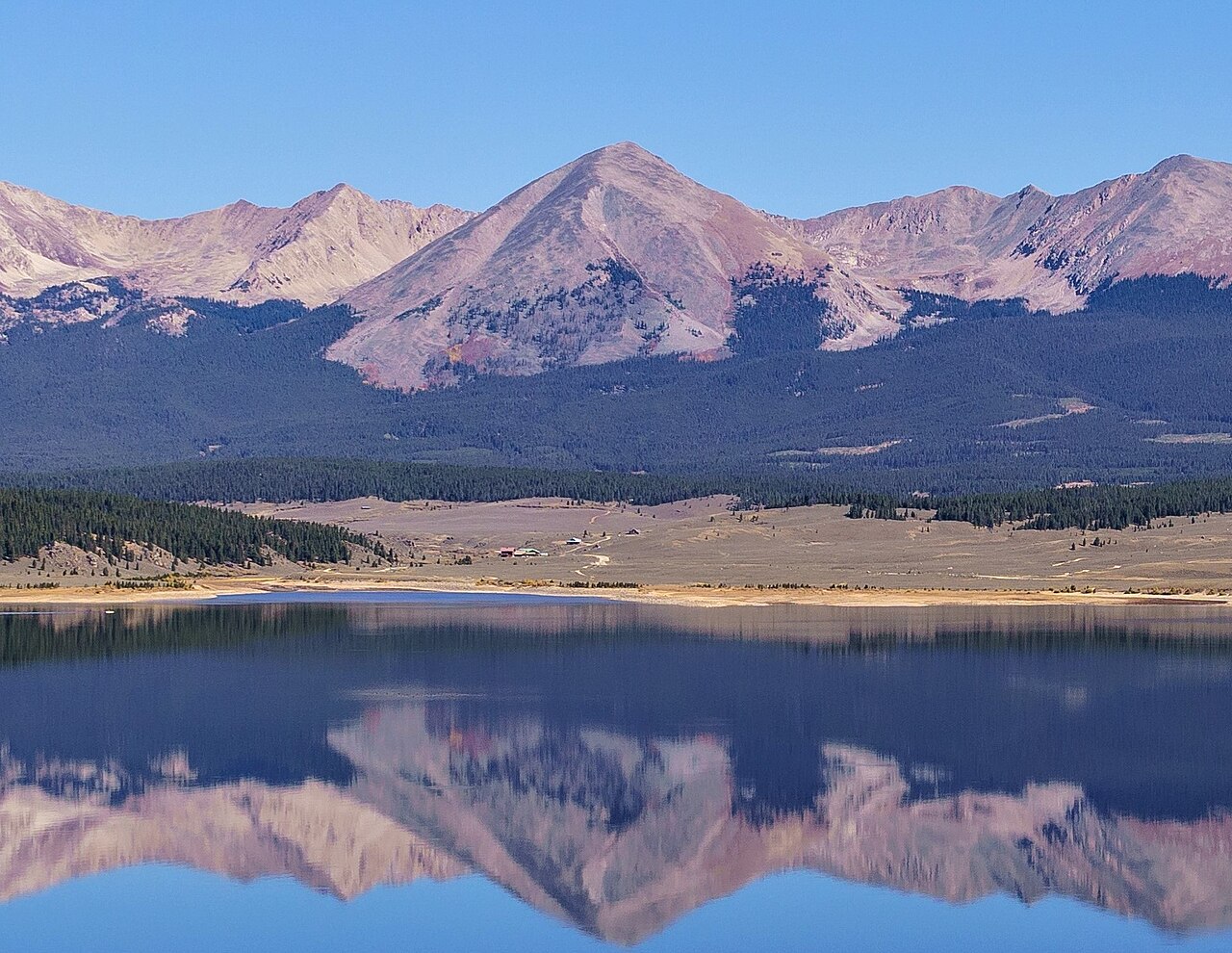 Grizzly PeakSummit · ~32 min drivePhoto: Ernie, CC BY 2.5 (via Wikimedia Commons)
