Bonfisk Peak
- 11,619 ft
- summit
- 1
- way up
Is Bonfisk Peak open right now?
Closure in the area
There's a closure order in Grand Mesa, Uncompahgre and Gunnison National Forests. It doesn't name Bonfisk Peak, so check the source for the area it covers (2 listed).
Gold Mountain Wildfire Roads and Trails Closure Order v 4.0
Agency closure covering Grand Mesa, Uncompahgre and Gunnison National Forests · USFS · Grand Mesa, Uncompahgre and Gunnison National Forests
Ophir Pass Road Closure
Agency closure covering Grand Mesa, Uncompahgre and Gunnison National Forests · USFS · Grand Mesa, Uncompahgre and Gunnison National Forests
Potter Basin Road Closure Order
Agency alert covering Grand Mesa, Uncompahgre and Gunnison National Forests · USFS · Grand Mesa, Uncompahgre and Gunnison National Forests
Beaver Park Road Closure Order
Agency alert covering Grand Mesa, Uncompahgre and Gunnison National Forests · USFS · Grand Mesa, Uncompahgre and Gunnison National Forests
TERMINATION OF ORDER - FIRE RESTRICTIONS
Agency alert covering Grand Mesa, Uncompahgre and Gunnison National Forests · USFS · Grand Mesa, Uncompahgre and Gunnison National Forests
As of · Source: USFS · Grand Mesa, Uncompahgre and Gunnison National Forests. Agencies don't list every closure — check before you go.
Bonfisk Peak is a summit in Colorado's West Elk Wilderness, within the Gunnison Ranger District of the Grand Mesa, Uncompahgre and Gunnison National Forests. The nearest town is Crawford, about 19 miles away. Several hikes start close by. Soap Creek is about 2 miles away and Soap Basin about 2.6 miles. For an overnight base, Commissary campground is about 6 miles off and Soap Creek Corral is about 7.5 miles off.
Conditions and forecast
Daily highs and lows, wind and the chance of precipitation at the summit and route start for the next 7 days, from the Open-Meteo model.
- Summit elevation
- 11,619 ft
Elevation from USGS 3D Elevation Program terrain data (about 10 m resolution).
Map © Mapbox © OpenStreetMap contributors Questions about Bonfisk Peak
How tall is Bonfisk Peak?
11,619 ft (3,541 m).
How many routes go to the summit of Bonfisk Peak?
One: Coal Mesa.
Where do the routes up Bonfisk Peak start?
Coal Mesa starts at Coal Mesa Trailhead (about 7,807 ft).
When is the best time to climb Bonfisk Peak?
Year-round.
 West Elk Peak13,039 ft · Colorado1 route6.3 mi awayPhoto: John Sowell, CC BY-SA 4.0 (via Wikimedia Commons)
 Mount Lamborn11,403 ft · Colorado1 route17 mi awayPhoto: Northforker, CC BY-SA 3.0 (via Wikimedia Commons)
- Raven Mesa8,292 ft · Colorado1 route18 mi away
 Youngs Peak7,426 ft · Colorado1 route19 mi awayPhoto: Jeffrey Beall, CC BY 3.0 (via Wikimedia Commons)
- Signal Peak9,029 ft · Colorado3 routes22 mi away
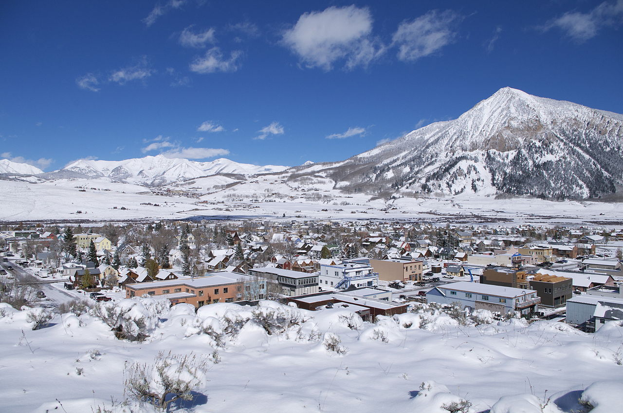 Crested Butte12,152 ft · Colorado1 route24 mi awayPhoto: Chris Segal, CC0 (via Wikimedia Commons)
- Soap CreekHiking2 mi
- East SoapHiking2.3 mi
- Soap BasinHiking2.6 mi
- Coffeepot CreekHiking3.1 mi
- CommissaryCamping6.3 mi
- Soap Creek Corral Horse CampCamping7.4 mi
- Soap Creek CorralCamping7.5 mi
 Ponderosa CampgroundCampingPhoto: Chris Light, CC BY-SA 4.0 (via Wikimedia Commons)8.6 mi
Source: Roamze catalog (indexable pages within 10 miles, PostGIS distance)
- West Elk PeakSummit · ~11 min drivePhoto: John Sowell, CC BY-SA 4.0 (via Wikimedia Commons)
 Mount GueroSummit · ~14 min drivePhoto: formulanone, CC BY-SA 2.0 (via Wikimedia Commons)
 East Beckwith MountainSummit · ~24 min drivePhoto: GregJoeson, CC BY-SA 4.0 (via Wikimedia Commons)
 West Beckwith MountainSummit · ~25 min drivePhoto: John Sowell, CC BY-SA 4.0 (via Wikimedia Commons)
 Carbon PeakSummit · ~27 min drivePhoto: John Sowell, CC BY-SA 4.0 (via Wikimedia Commons)
- Mount LambornSummit · ~30 min drivePhoto: Northforker, CC BY-SA 3.0 (via Wikimedia Commons)
 Landsend PeakSummit · ~30 min drivePhoto: GregJoeson, CC BY-SA 4.0 (via Wikimedia Commons)
- Youngs PeakSummit · ~32 min drivePhoto: Jeffrey Beall, CC BY 3.0 (via Wikimedia Commons)
 Marcellina MountainSummit · ~34 min drivePhoto: John Sowell, CC BY-SA 4.0 (via Wikimedia Commons)
 Mount OwenSummit · ~34 min drivePhoto: John Sowell, CC BY-SA 4.0 (via Wikimedia Commons)

