Mirror Lake Campground
Campground
Campground · 1.2 mi from the trail
 Photo: Jeremy White, CC BY 2.0 (via Wikimedia Commons)
Closure in the area
There's a closure order in Grand Mesa, Uncompahgre and Gunnison National Forests. It doesn't name Emma Burr Mountain, so check the source for the area it covers (2 listed).
Gold Mountain Wildfire Roads and Trails Closure Order v 4.0
Agency closure covering Grand Mesa, Uncompahgre and Gunnison National Forests · USFS · Grand Mesa, Uncompahgre and Gunnison National Forests
Ophir Pass Road Closure
Agency closure covering Grand Mesa, Uncompahgre and Gunnison National Forests · USFS · Grand Mesa, Uncompahgre and Gunnison National Forests
Potter Basin Road Closure Order
Agency alert covering Grand Mesa, Uncompahgre and Gunnison National Forests · USFS · Grand Mesa, Uncompahgre and Gunnison National Forests
Beaver Park Road Closure Order
Agency alert covering Grand Mesa, Uncompahgre and Gunnison National Forests · USFS · Grand Mesa, Uncompahgre and Gunnison National Forests
TERMINATION OF ORDER - FIRE RESTRICTIONS
Agency alert covering Grand Mesa, Uncompahgre and Gunnison National Forests · USFS · Grand Mesa, Uncompahgre and Gunnison National Forests
As of · Source: USFS · Grand Mesa, Uncompahgre and Gunnison National Forests. Agencies don't list every closure — check before you go.
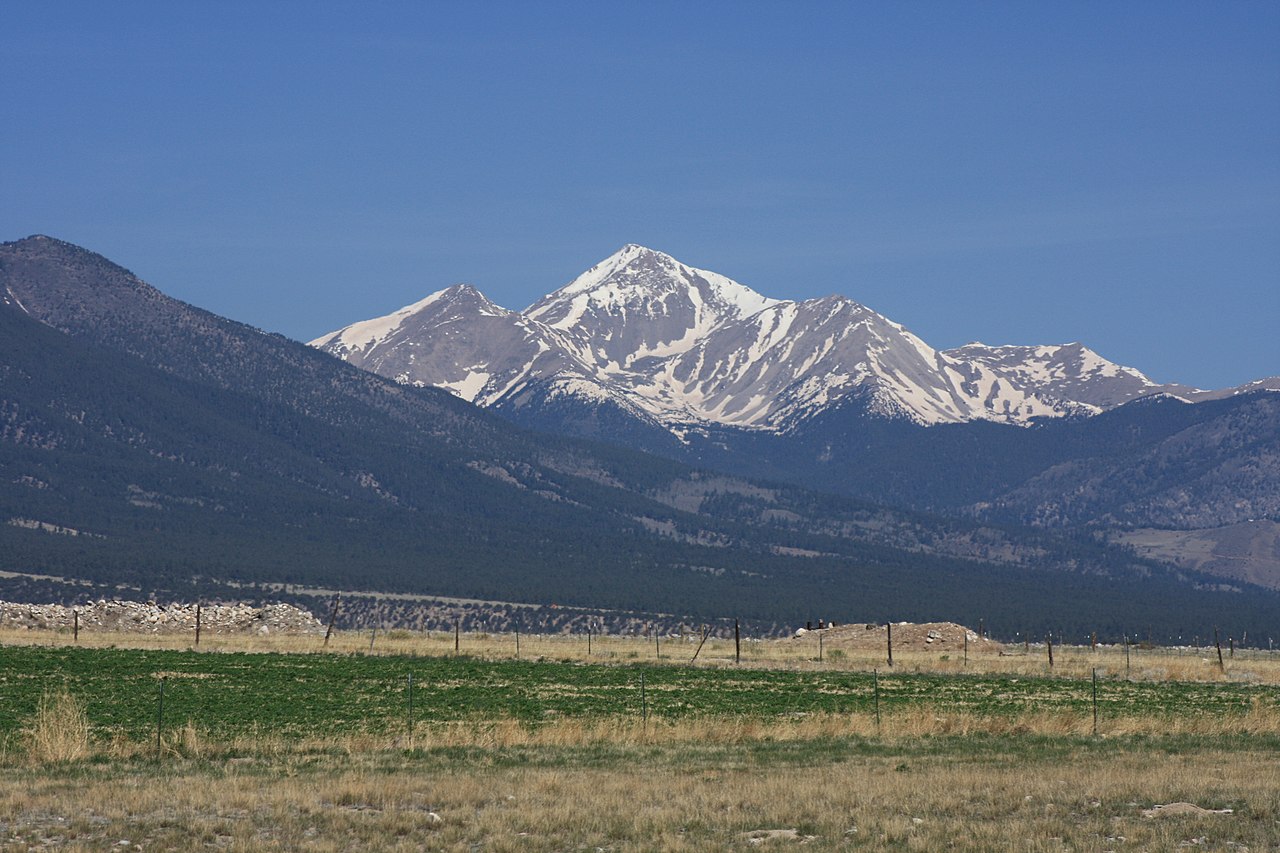
Emma Burr Mountain is a high summit in Chaffee County, Colorado, on Forest Service land within the Gunnison Ranger District of the Grand Mesa, Uncompahgre and Gunnison National Forests. The closest town is Tincup, about 3.6 miles away, which makes that small community the natural reference point for planning a trip toward the peak. As a national forest summit, the mountain falls under the general rules that apply across the Grand Mesa, Uncompahgre and Gunnison National Forests. Several other outdoor options sit close to the mountain. Mirror Lake Campground is about 1.2 miles away and Iron City Campground about 4.8 miles, so a base camp can be within easy reach of the summit area. For hiking, the Old Tincup Pass Trail lies roughly 1.4 miles off, and Jones Mountain, another nearby objective, is about 3.1 miles away. Together they make this corner of the Gunnison Ranger District a practical destination for a longer stay that pairs camping with time on the trails and peaks around Tincup.
Mirror Lake Campground
Campground
St. Elmo Town Hall & Jail
Museum
Places © OpenStreetMap contributors, Places © Overture Maps Foundation
More in PitkinDaily highs and lows, wind and the chance of precipitation at the summit for the next 7 days, from the Open-Meteo model.
Elevation from USGS 3D Elevation Program terrain data (about 10 m resolution).
We don't know of a mapped trail or route to the summit of Emma Burr Mountain. Plan the approach with local maps, a guidebook or a local guide, and check conditions before you go.
13,539 ft (4,127 m).
We don't know of a mapped trail or route to the summit. Plan the approach with local maps, a guidebook or a local guide.


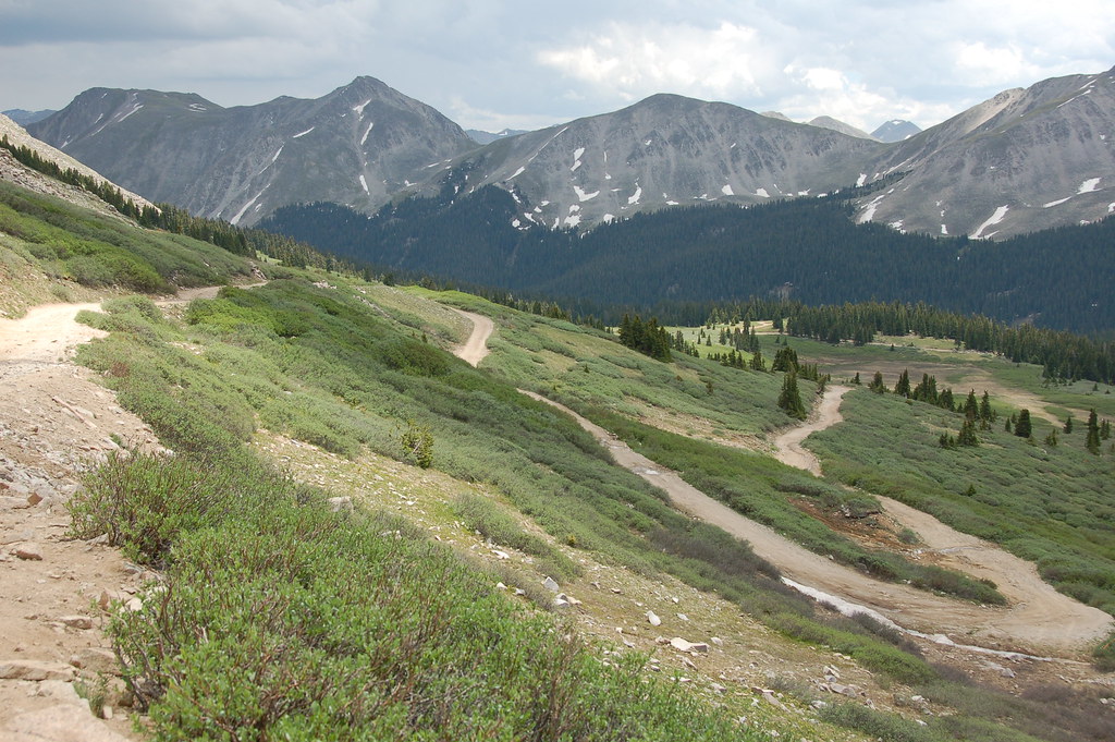 Old Tincup Pass TrailHikingPhoto: Herkie, CC BY-SA 2.0 (via Flickr)1.4 mi
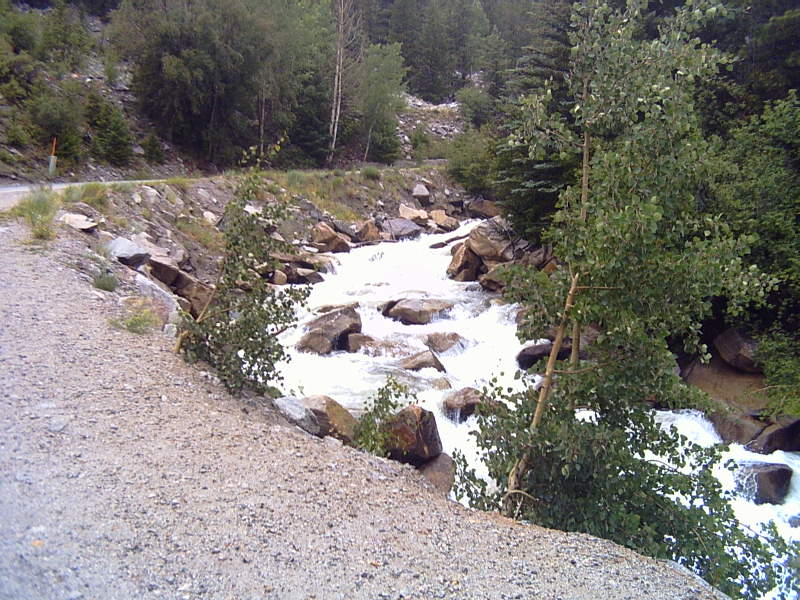 Chalk CreekCanoeingPhoto: LanceBarber, CC BY-SA 3.0 (via Wikimedia Commons)9.7 mi
Source: Roamze catalog (indexable pages within 10 miles, PostGIS distance)
Jones MountainSummit · ~5 min drivePhoto: Roy Luck, CC BY 2.0 (via Wikimedia Commons)Turner PeakSummit · ~11 min drivePhoto: Roy Luck, CC BY 2.5 (via Wikimedia Commons)Fairview PeakSummit · ~13 min drivePhoto: Jbsco, CC BY-SA 4.0 (via Wikimedia Commons)Cronin PeakSummit · ~15 min drivePhoto: John Sowell, CC BY-SA 4.0 (via Wikimedia Commons)Mount YaleSummit · ~16 min drivePhoto: David Herrera from Albuquerque, NM, Bernalillo, CC BY 2.0 (via Wikimedia Commons) Mount PrincetonSummit · ~16 min drivePhoto: David Herrera from Albuquerque, NM, Bernalillo, CC BY 2.0 (via Wikimedia Commons)
 Mount AnteroSummit · ~17 min drivePhoto: David Herrera from Albuquerque, NM, Bernalillo, CC BY 2.0 (via Wikimedia Commons)
 Carbonate MountainSummit · ~18 min drivePhoto: John Sowell, CC BY-SA 4.0 (via Wikimedia Commons)
 Mount WhiteSummit · ~19 min drivePhoto: David Herrera, CC BY 2.0 (via Wikimedia Commons)
 Henry MountainSummit · ~20 min drivePhoto: John Sowell, CC BY-SA 4.0 (via Wikimedia Commons)
Also worth it near here
Old Tincup Pass TrailHiking · ~2 min drivePhoto: Herkie, CC BY-SA 2.0 (via Flickr) Cumberland Pass Snowmobile/skiMountain biking · ~7 min drivePhoto: John Sowell, CC BY-SA 4.0 (via Wikimedia Commons)
 Middle Quartz Creek CampgroundCamping · ~13 min drivePhoto: Bull dd-780, CC BY 3.0 (via Wikimedia Commons)
