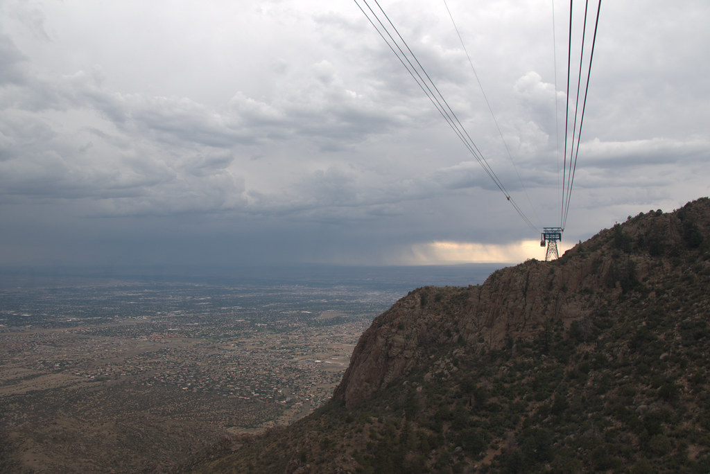
Campbell Scout Ranch
Campground
5.4 mi from the trail
 Photo: Kevin Stroup, CC BY 3.0 (via Wikimedia Commons)
The Sandia Mountains in New Mexico are a climbing area within the Sandia Mountain Wilderness, part of the Sandia Ranger District of Cibola National Forest. The Forest Service manages the land, and the wilderness lies within the national forest's boundaries. The climbing here is alpine, with five routes in the area. The grades range from 5.3 to 5.9+, with Allamistakeo at 5.9 and Poker and West Face Direct at 5.9+. North Ramp is the easiest at 5.3, and Windy Ridge is 5.8-. For timing, late spring and early fall are the most comfortable. Typical averages from a nearby weather station at Sandia Park, at about 7,000 feet, show May highs around 73°F and September highs around 77°F, with lows in the 40s. Winter is cold, with January highs near 44°F and lows around 19°F. Several other climbing and hiking spots sit close by. Lower Domingo Baca Slabs (The Ribcage) is about 0.3 miles away, and the Domingo Baca and North Pino Canyon Route hikes are within a mile. The Main Area climbing area is about 0.9 miles off.
5 routes · 5.3 – 5.9 · Alpine
Where it is: Sandia Mountain Wilderness · Sandia Ranger District
Near: Albuquerque
Best months: April–October. Best months have typical highs of 55–85 °F, lows of 30 °F or warmer (32 °F where the station doesn't record snow), at most one snowy day and no more than 12 wet days.
Jan
44°
19°
Feb
48°
22°
Mar
55°
26°
Apr
63°
34°
May
73°
41°
Jun
83°
49°
Jul
83°
53°
Aug
80°
52°
Sep
77°
46°
Oct
65°
36°
Nov
54°
24°
Dec
43°
18°
Typical high / low (°F) and days with rain or snow, 1991–2020. Measured at Sandia Park, NM, 6 mi away at 7,030 ft. This station doesn't record snowfall. Source: NOAA NCEI U.S. Climate Normals 1991–2020.
Been here? Tell people how it was.
Lower Domingo Baca Slabs (AKA: The Ribcage)Rock climbingPhoto: Kevin Stroup, CC BY 3.0 (via Wikimedia Commons)0.3 mi North Pino Canyon RouteHikingPhoto: maximalideal, CC BY-SA 2.0 (via Flickr)0.6 miPinoHikingPhoto: maximalideal, CC BY-SA 2.0 (via Flickr)0.8 mi
 Nature TrailHikingPhoto: eekim, CC BY 2.0 (via Flickr)0.8 mi
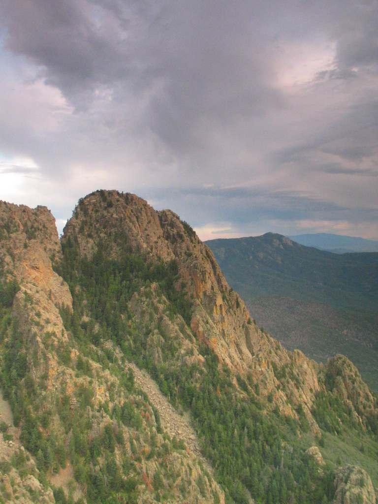 Domingo Baca Canyon, LowerRock climbingPhoto: BenFrantzDale, CC BY-SA 2.0 (via Flickr)0.9 miDomingo Baca Canyon, LowerRock climbingPhoto: BenFrantzDale, CC BY-SA 2.0 (via Flickr)~2 min drive
 TWA CanyonRock climbingPhoto: Ktr101, CC BY-SA 2.0 (via Flickr)~3 min drive
 Pino WallRock climbingPhoto: weldonwk, CC BY 2.0 (via Flickr)~3 min drive
 Echo CanyonRock climbingPhoto: Ktr101, CC BY-SA 2.0 (via Flickr)~3 min driveYucca Flower TowerRock climbingPhoto: Ktr101, CC BY-SA 2.0 (via Flickr)~3 min driveBush Shark AreaRock climbingPhoto: Ktr101, CC BY-SA 2.0 (via Flickr)~3 min drive
 The ThumbRock climbingPhoto: Francis Storr, CC BY-SA 2.0 (via Flickr)~4 min drive
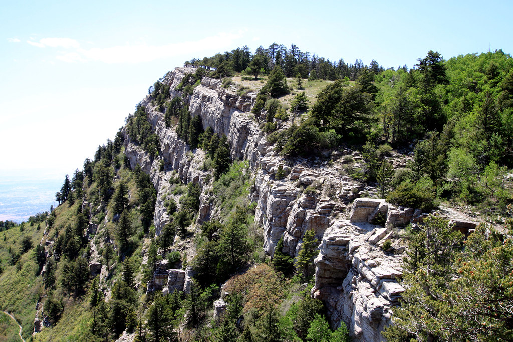 Andy Boy WallRock climbingPhoto: uıɐɾ ʞ ʇɐɯɐs, CC BY-SA 2.0 (via Flickr)~4 min driveHole in the WallRock climbingPhoto: Francis Storr, CC BY-SA 2.0 (via Flickr)~4 min driveLa Cueva Canyon, UpperRock climbingPhoto: Francis Storr, CC BY-SA 2.0 (via Flickr)~4 min drive
Daily highs and lows, wind and the chance of precipitation at Sandia Mountains for the next 7 days, from the Open-Meteo model.
Questions about Sandia Mountains: conditions, access, timing. Answers say when something isn't known.
Campbell Scout Ranch
Campground
 If it rainsJim Legans, Jr from Albuquerque, New Mexico, CC BY 2.0 · Wikimedia Commons
Folk art museum in Sandia Park, New Mexico
Places © OpenStreetMap contributors, Places © Overture Maps Foundation · Photos: Jim Legans, Jr from Albuquerque, New Mexico, CC BY 2.0 (commons)
More in Santo Domingo Pueblo